Another year, another hut hiking adventure with my friend Liz! If you’ve been here a while, you’ll recognize Liz’s name from our many other hiking adventures (see here and here for my favorites 😊). When we were together in 2024, we loosely planned out the route we wanted to hike for our Hut Hiking trip the summer of 2025. We were really excited for the plan because we were going to bag multiple 4,000 footers. None of the trails would be TOO strenuous like they had been in previous years because of the way we planned our hiking direction. I also felt a little more confident in my physical capabilities. I had been doing a lot of workouts on the Stairmaster at the gym and Jarrett and I had just spent 10 days hiking all over Southern California, so I really felt prepared!
I was planning on spending a few nights up in northern New Hampshire with Liz at her Airbnb. I left southern New Hampshire after work on a Wednesday afternoon. It was about a two hour drive, but not terrible! The hike we had planned was point to point, meaning we were going to be starting and finishing at two different trailheads. When I arrived up north on Wednesday, we dropped Liz’s car off at the trailhead we’d finish at, then went to grab a quick dinner in Littleton before packing up all our gear for the 3-day excursion and getting a good night’s sleep.
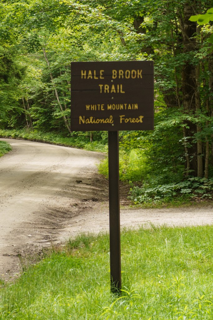
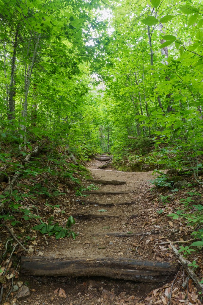
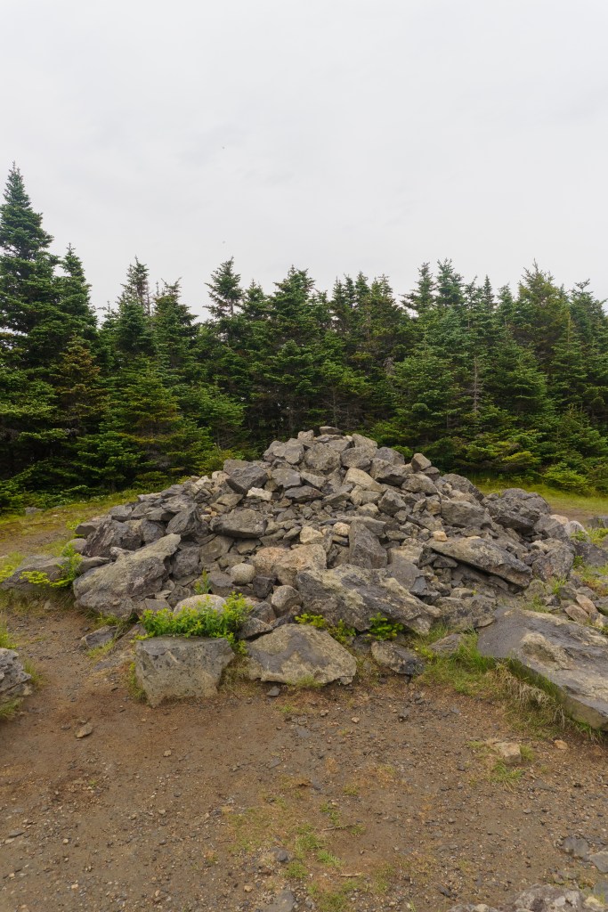
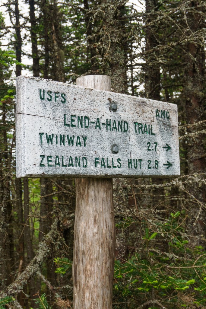
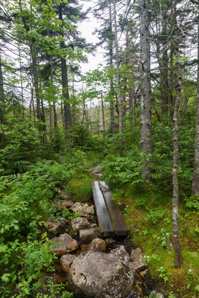
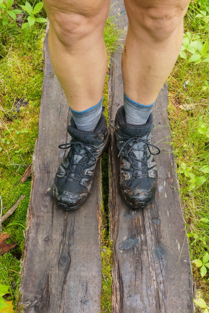
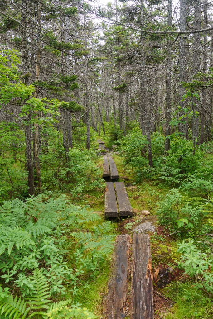
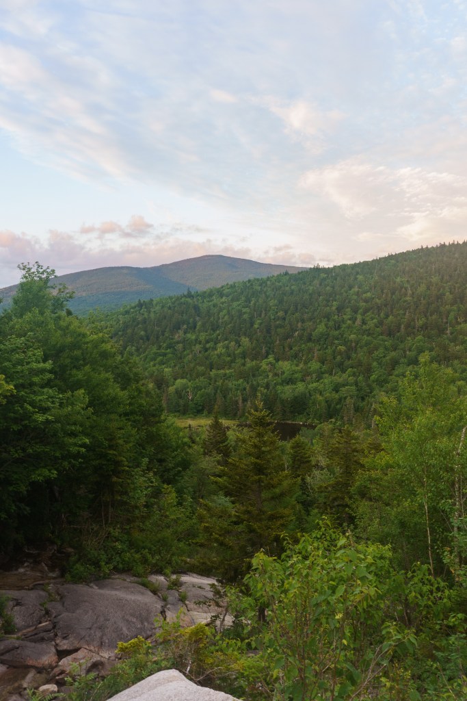
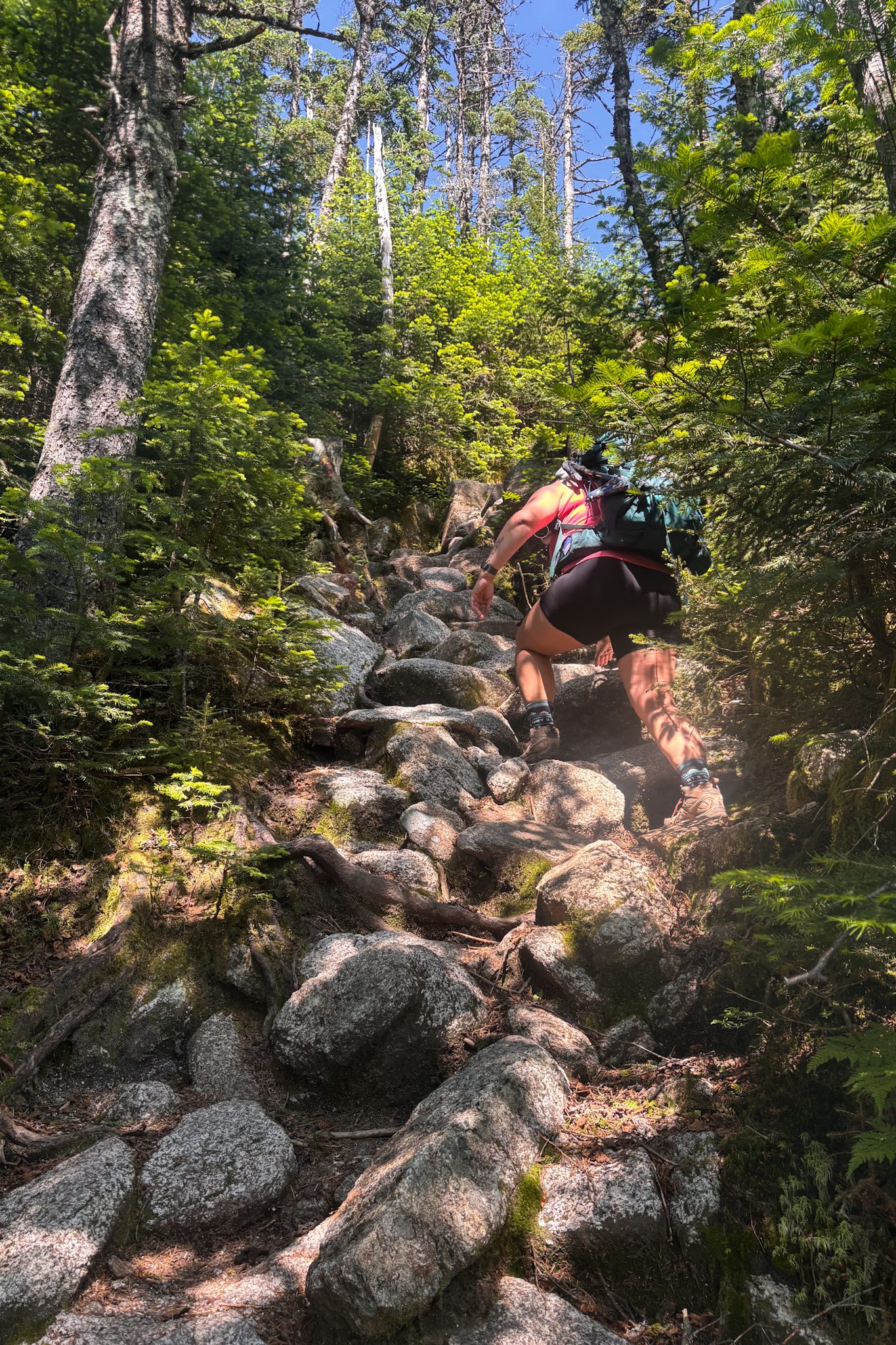
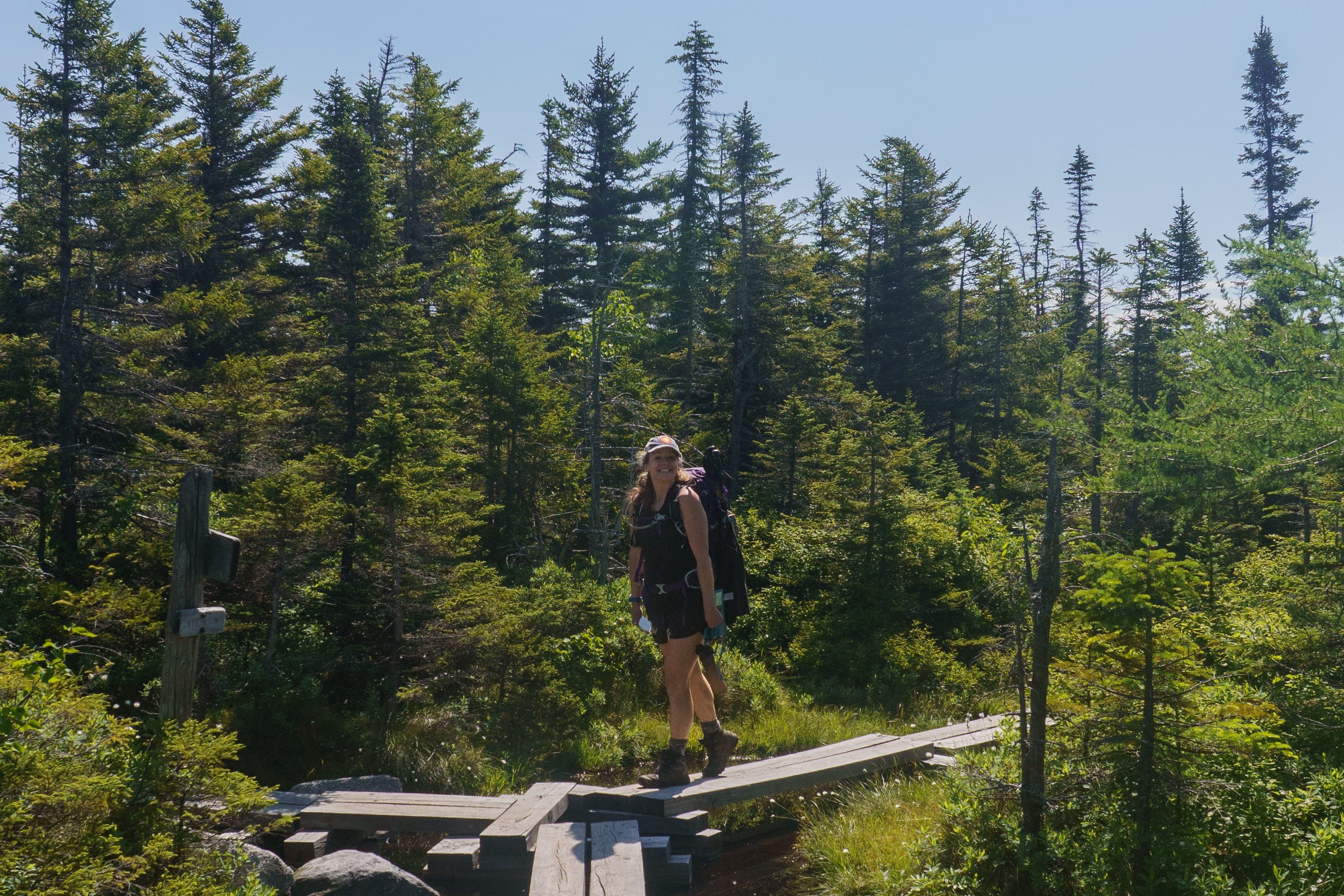
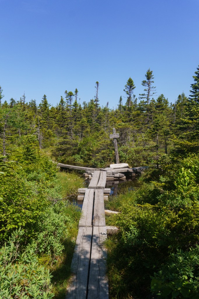
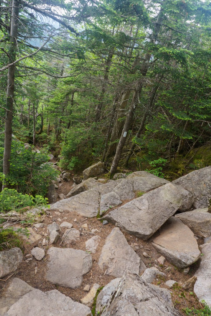
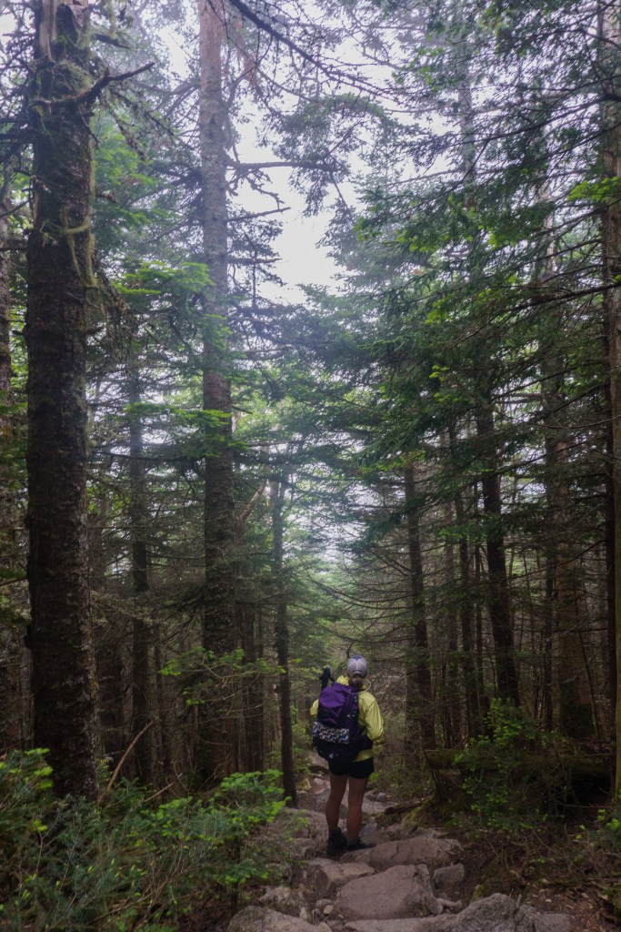
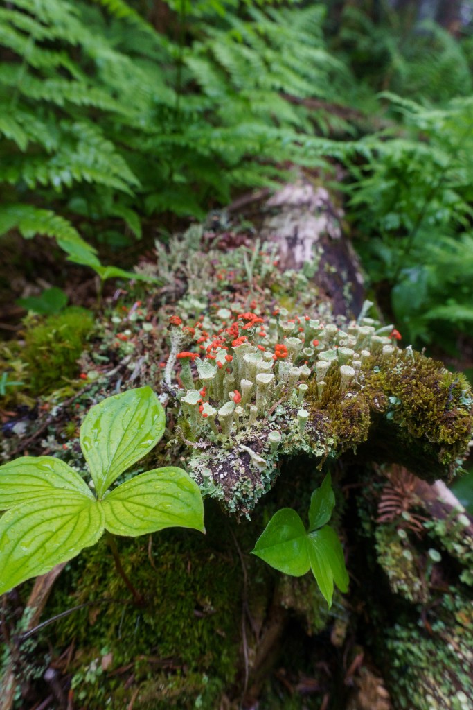
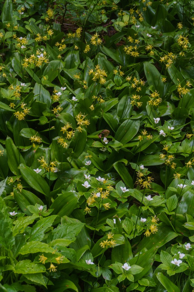
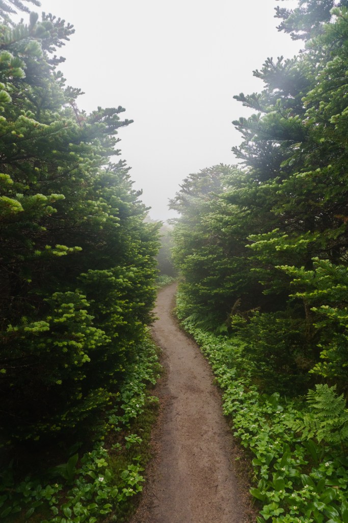
The first day of our multi-day traverse was going to be fairly easy for us, so we didn’t have to get up too early. We were able to grab a quick breakfast at Jack & Fin’s, located on Main Street in Littleton. I had a great breakfast burrito! We headed off to the trailhead from there. We parked at the Hale Brook Trailhead and took Hale Brook to Mt. Hale. In true White Mountain fashion, the trail went straight up! It was a pretty hike and the terrain wasn’t too challenging. The summit itself didn’t have a view, just a big pile of rocks with so many bugs. Since there wasn’t a view, and the bugs were swarming, we didn’t linger at the summit. We followed the Lend-A-Hand trail (the cutest name) downhill. We had a fairly steep descent before it leveled out through a boggy, yet lush section of forest. There were so many beautiful plants and bog bridges. We had fun splashing through puddles and mud.
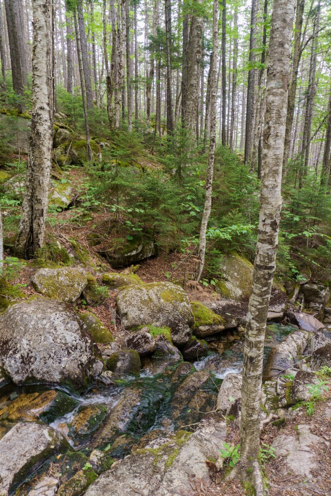

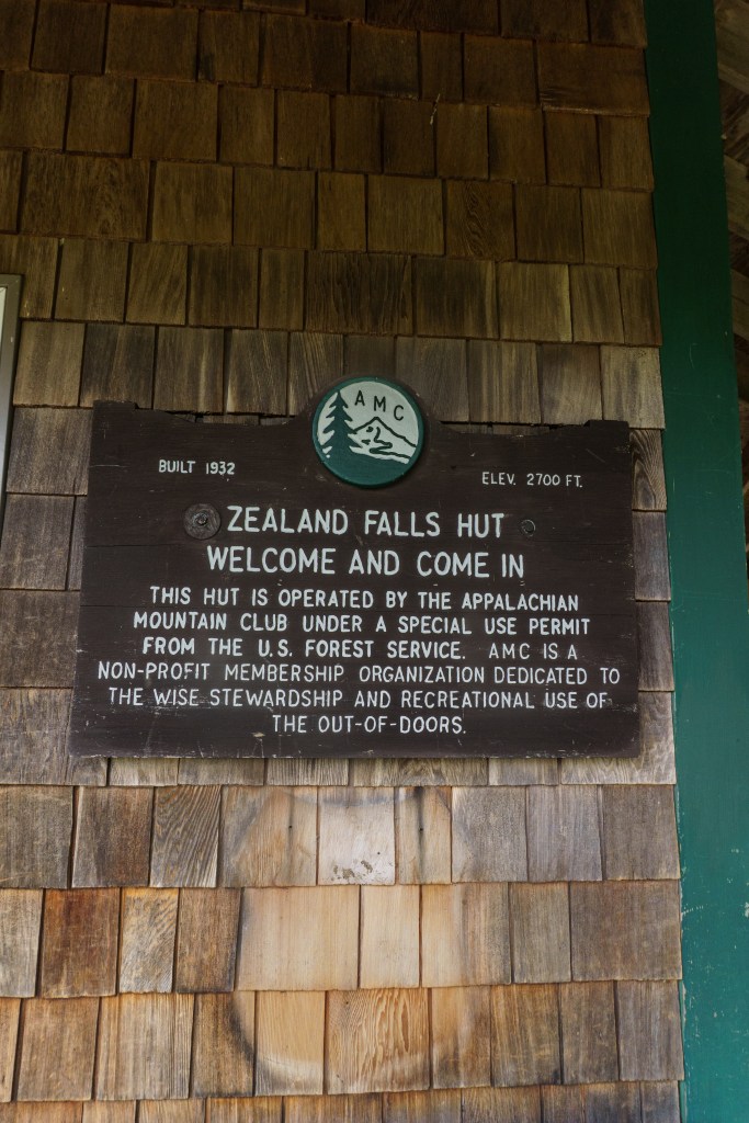
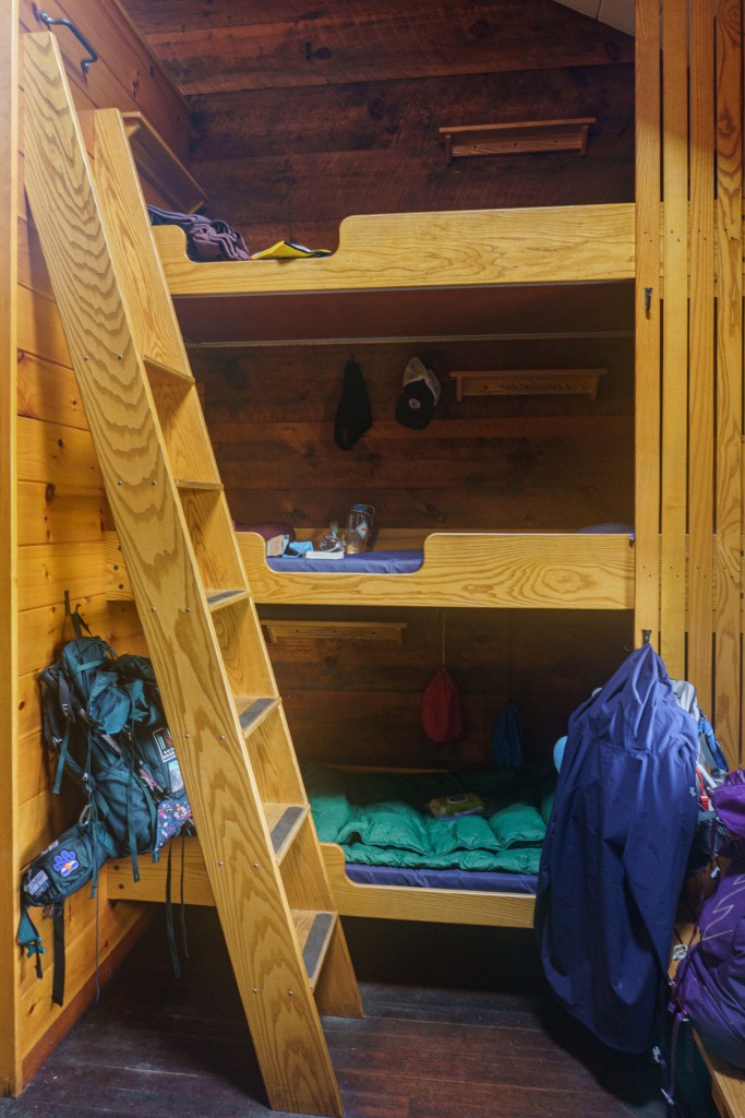
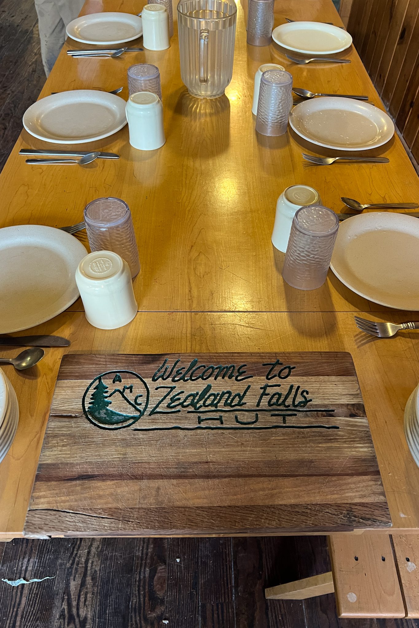
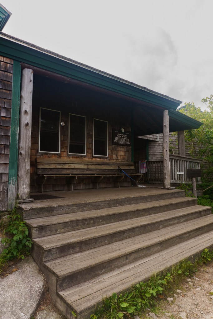
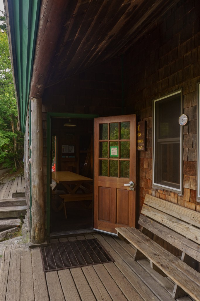
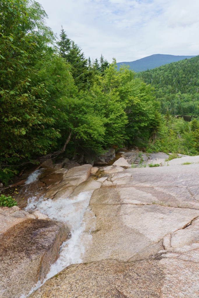
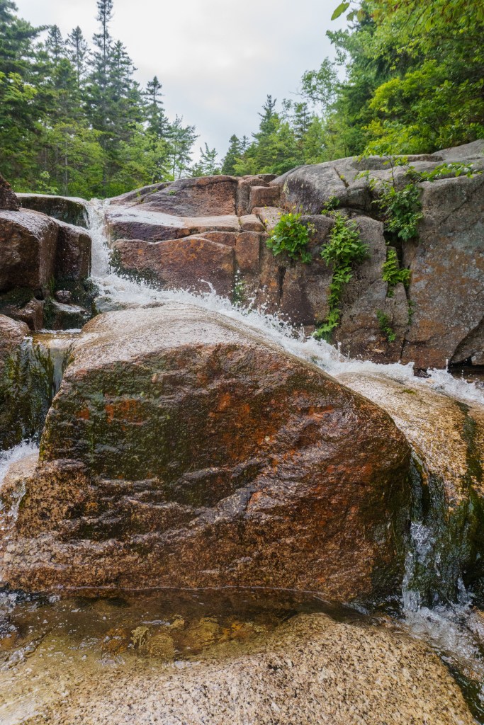
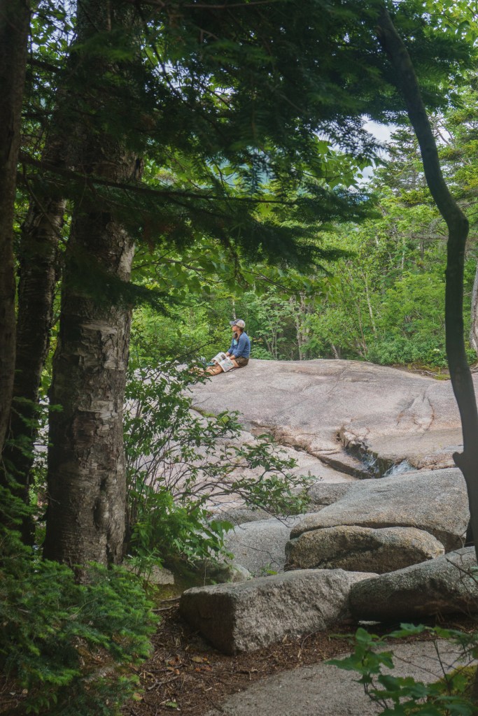
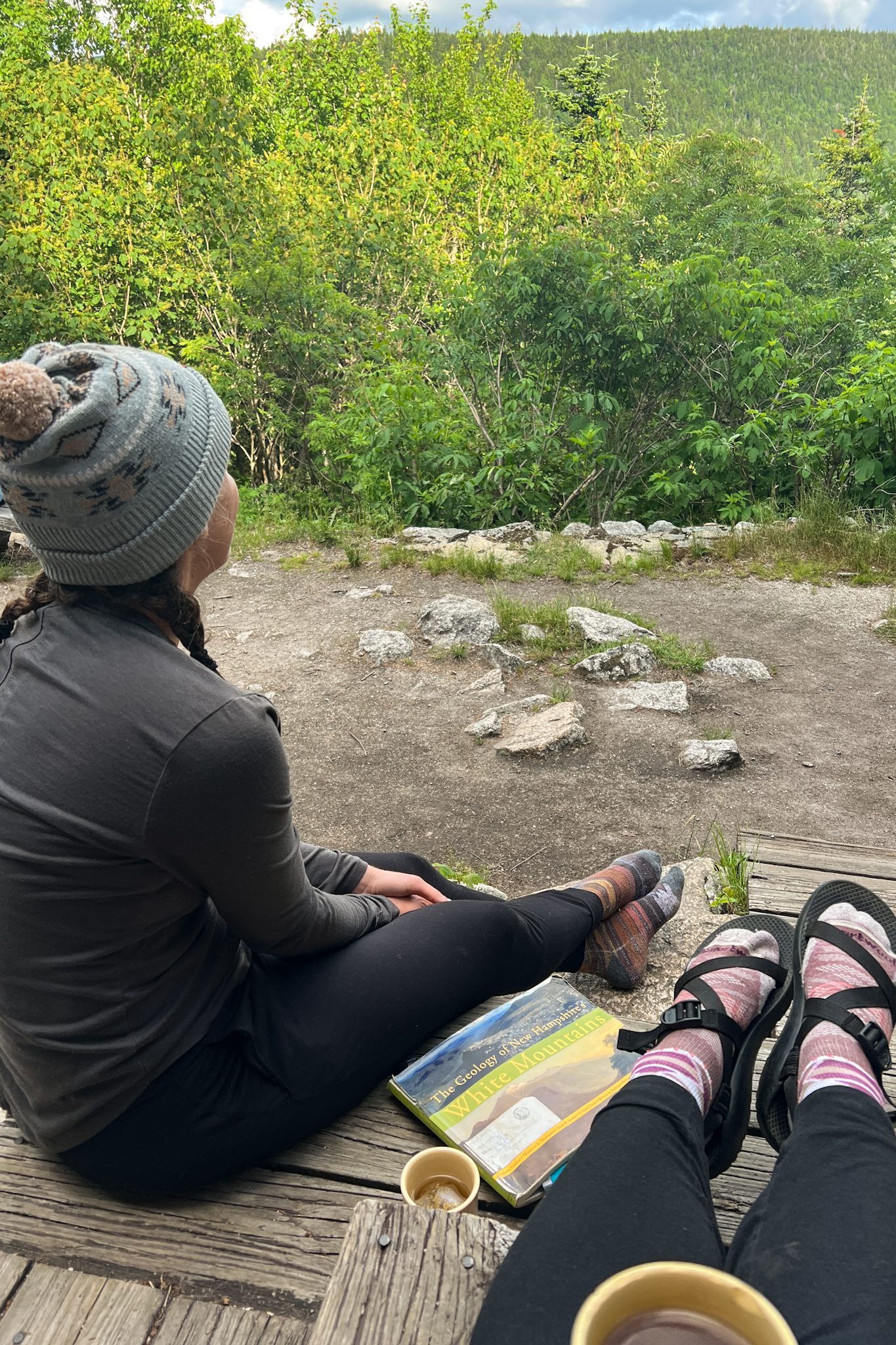
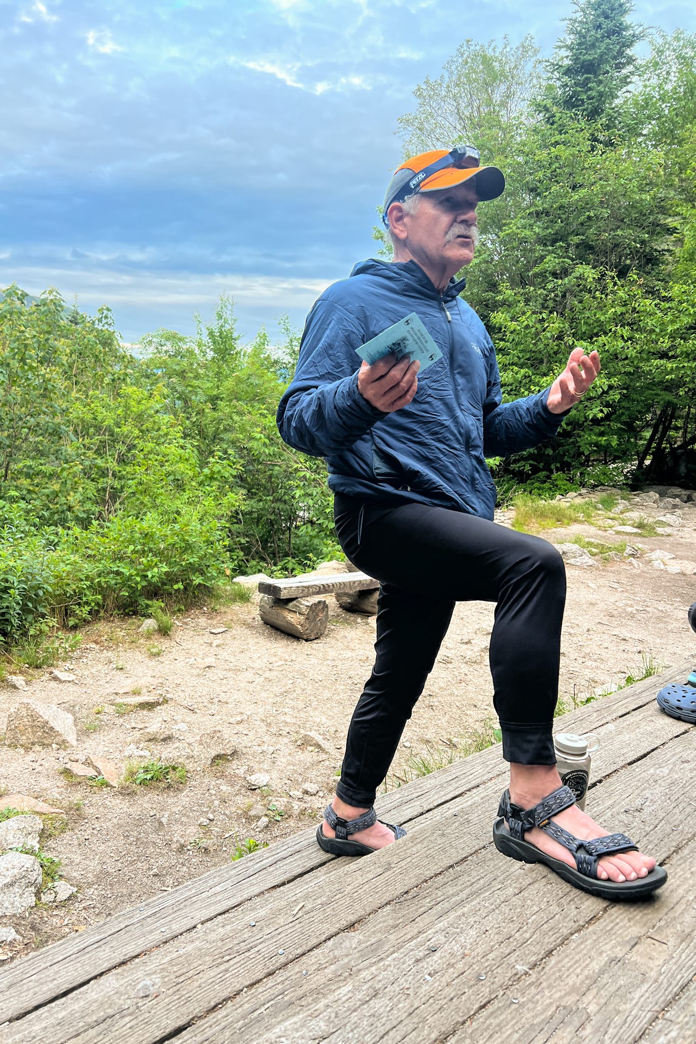
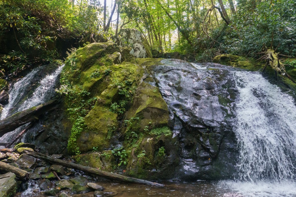
The trail ended at an intersection with multiple trails. At this intersection was our home for the night – the Appalachian Mountain Club’s Zealand Falls hut! It was a cute hut with a nice porch for relaxing on. You could hear the falls from the bunk beds with the windows open! We freshened up (there are no showers but we brought wipes) and grabbed books from the hut library and spent some time lounging on the rocks along the waterfall. It was so peaceful! Dinner was served family-style at 6 PM and it was followed by a talk with an AMC Naturalist. He talked about how some of the surrounding peaks had gotten their names (of course, it was the names given by white settlers, but he did acknowledge the original native tribes who call the land home). Then we settled into our bunk beds for some reading before lights out and a cozy night of sleep.
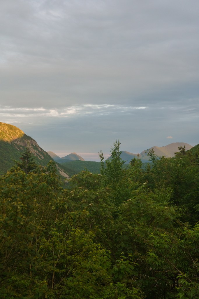
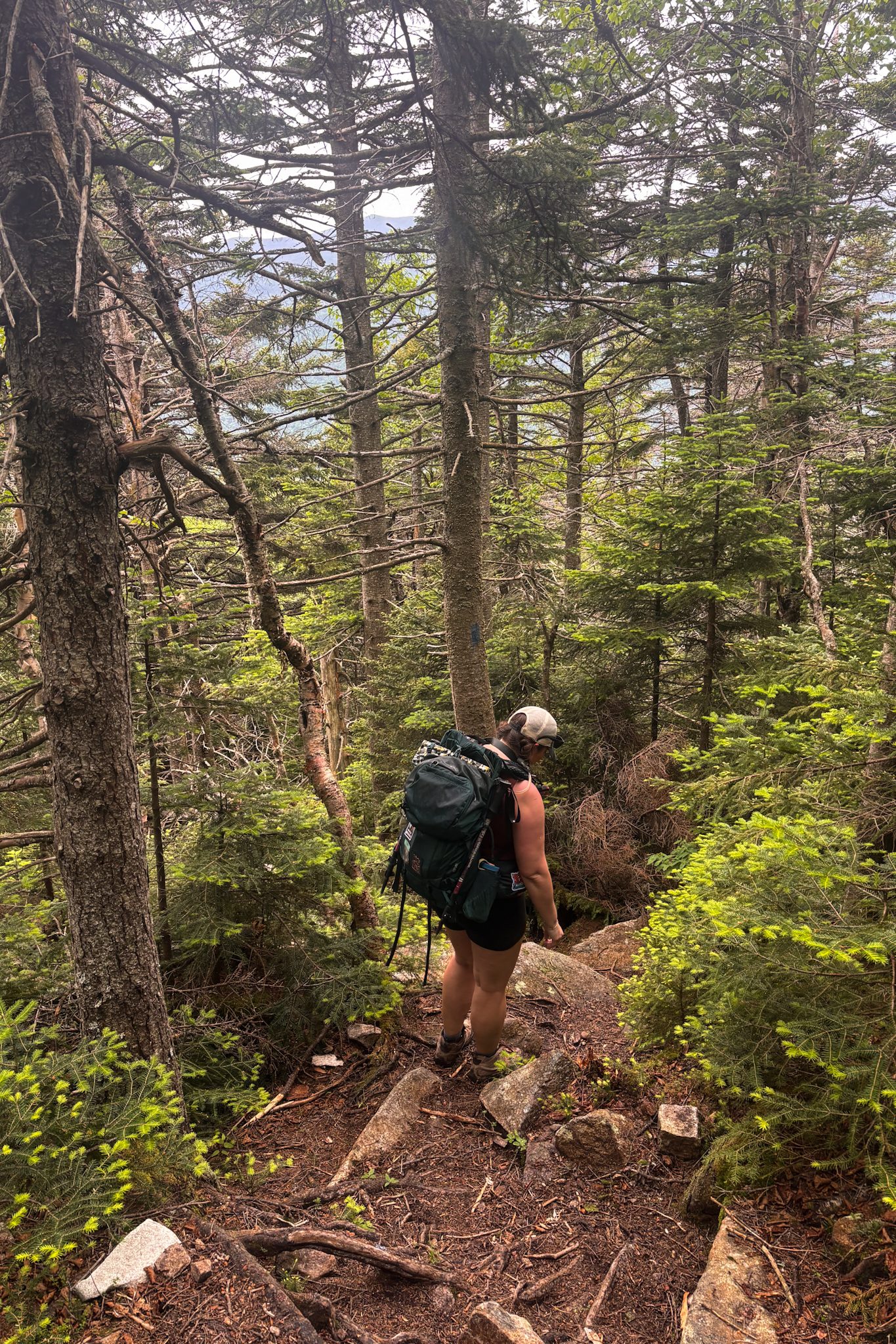
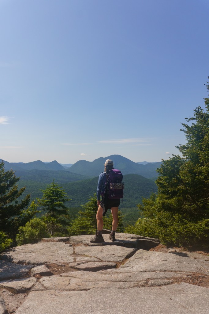
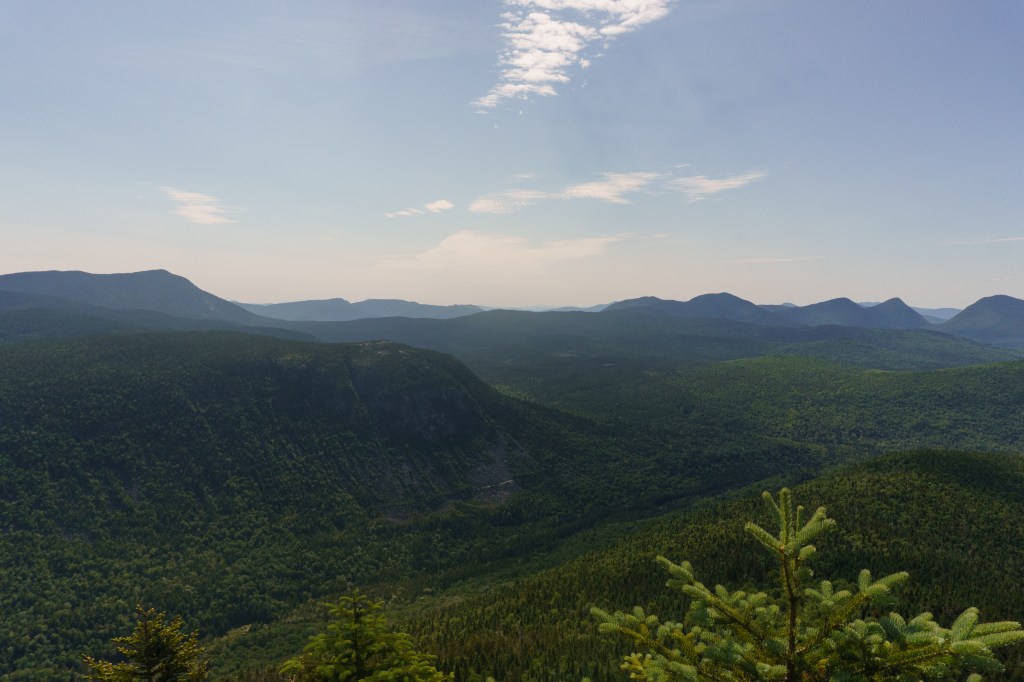
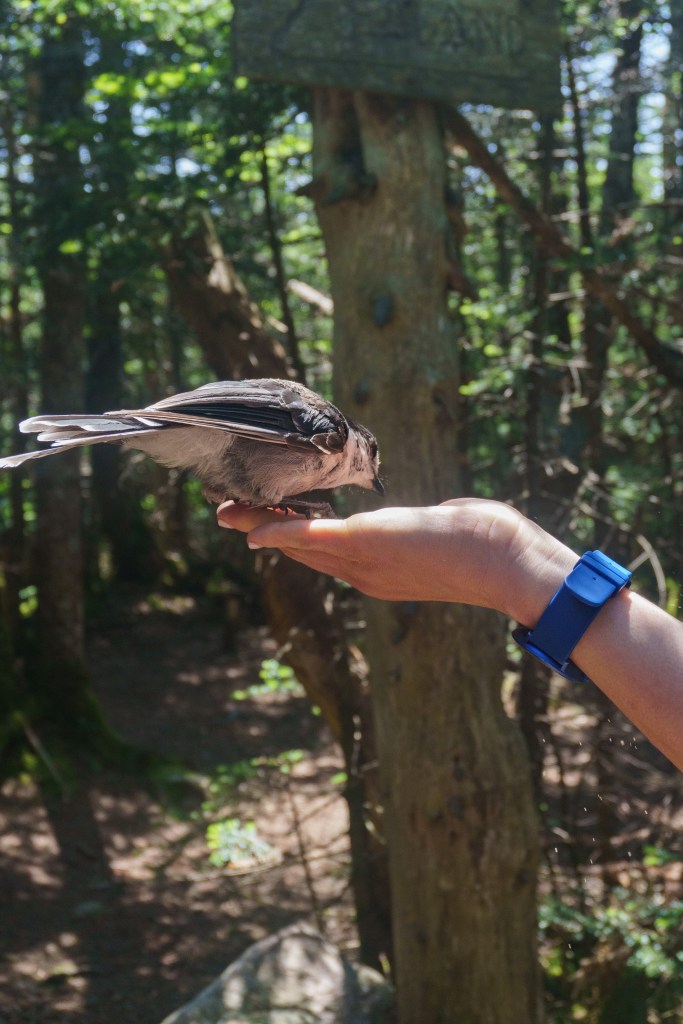
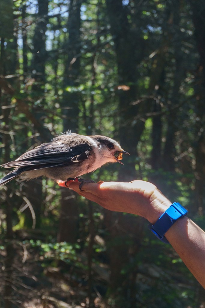
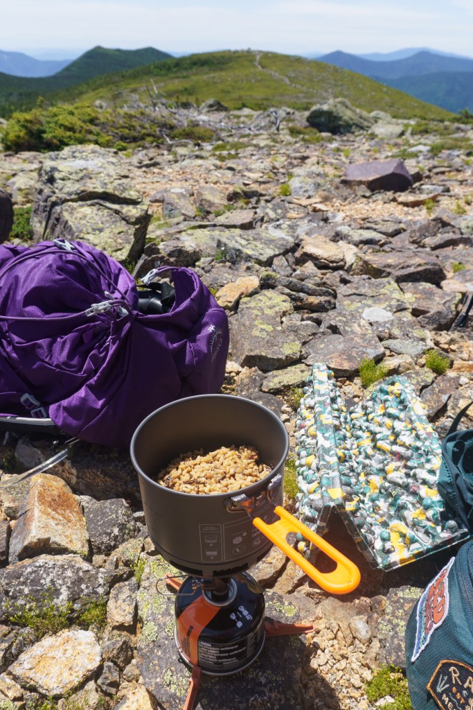
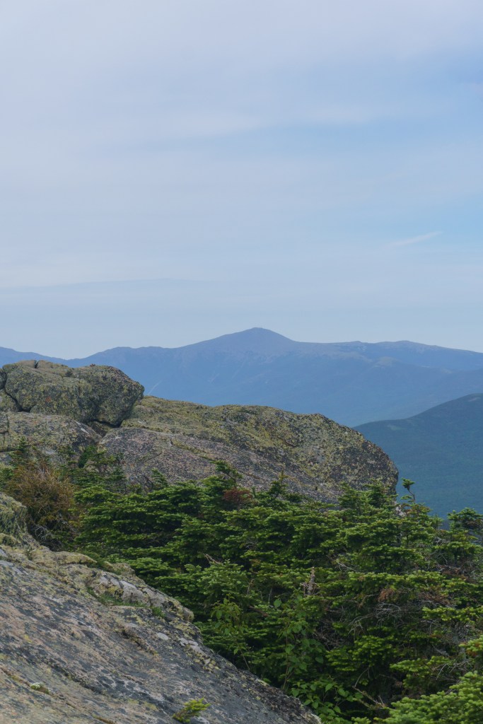
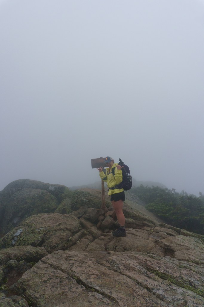
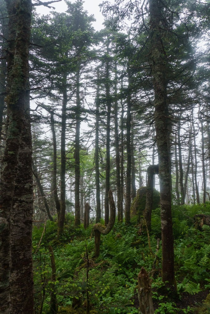
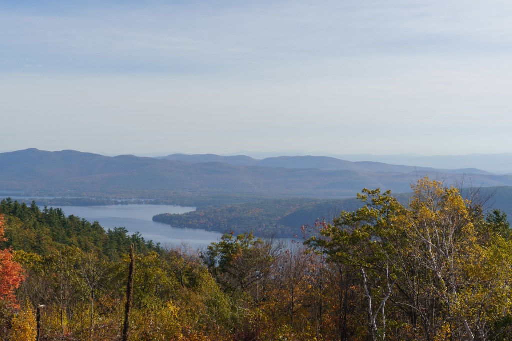
After a delicious breakfast the next morning, we hit the trail again, leaving the hut and heading up to Zeacliff. The trail had some tough spots but overall, it was pretty enjoyable. The views from Zeacliff were some of the best I’ve seen in the Whites. We had the spot to ourselves so we took some pictures and ate snacks in the sunshine. We continued along the trail until we reached the wooded summit of Mt. Zealand. While there was no view at the summit, we did have lots of Gray Jays flittering around, begging for food. The trail continued on and we found ourselves faced with a lot of blowdowns and trees to maneuver around, which slowed down our pace. Next, we reached the bald summit of Mt. Guyot. While the views were beautiful, it’s not one of NH’s 4,000 footers. We did stop to have lunch here though since the views were nice, and it was sunny and warm on the rocks.
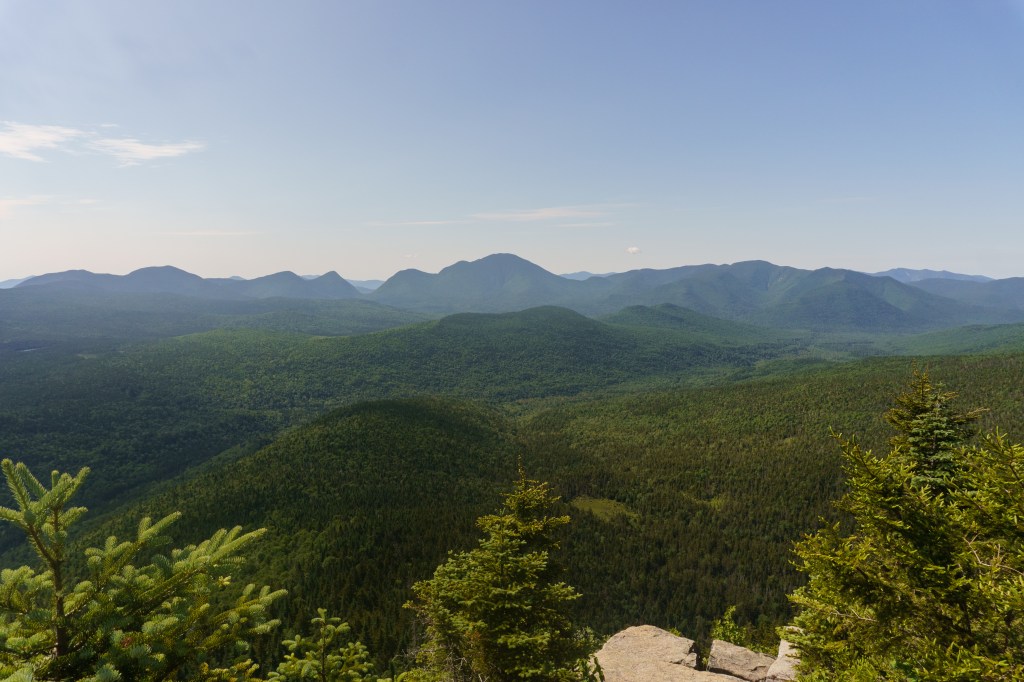
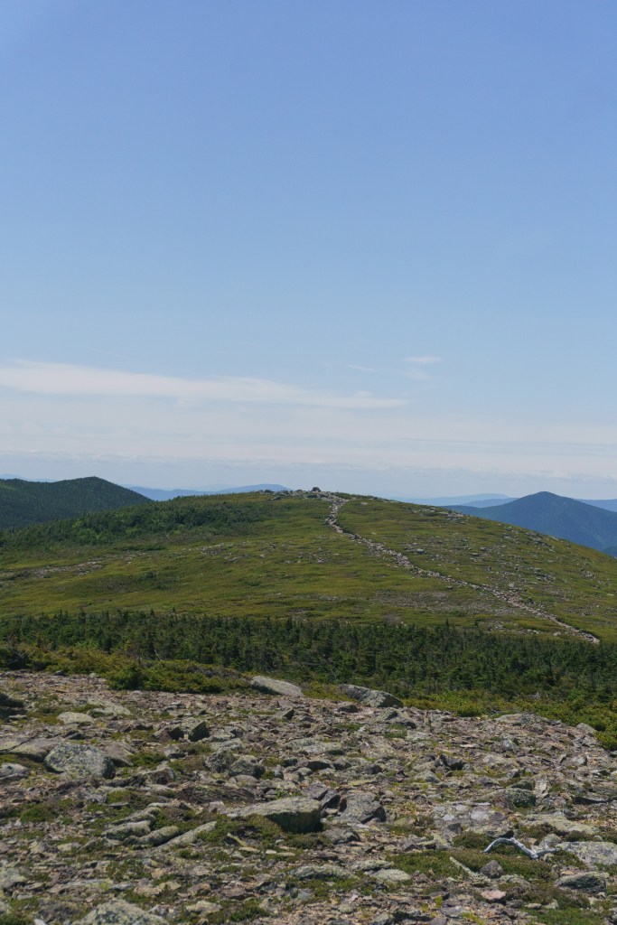
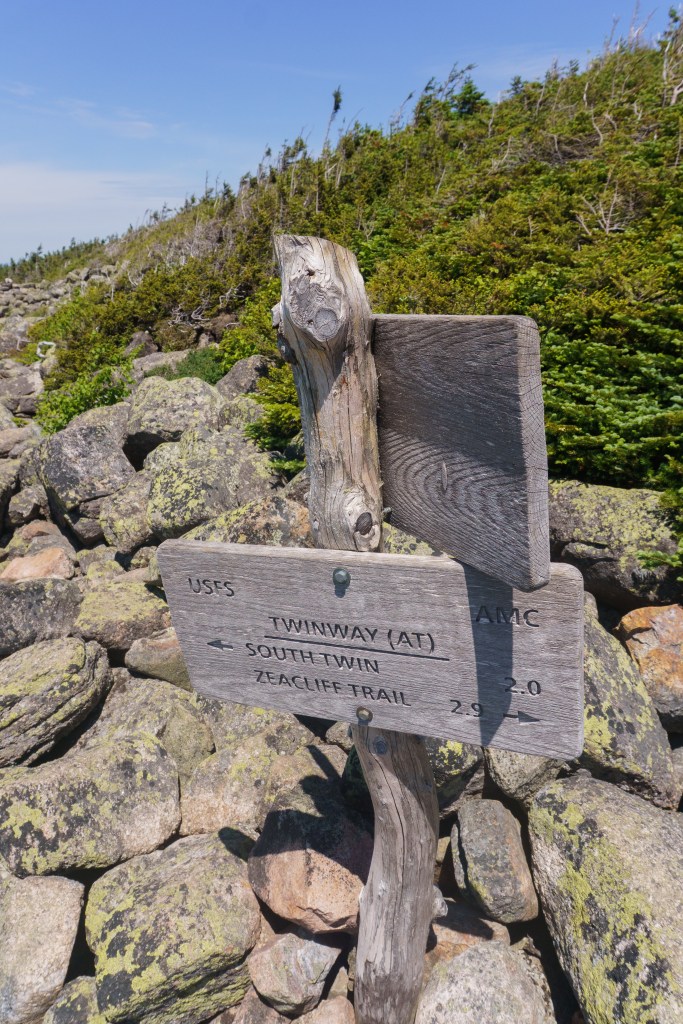
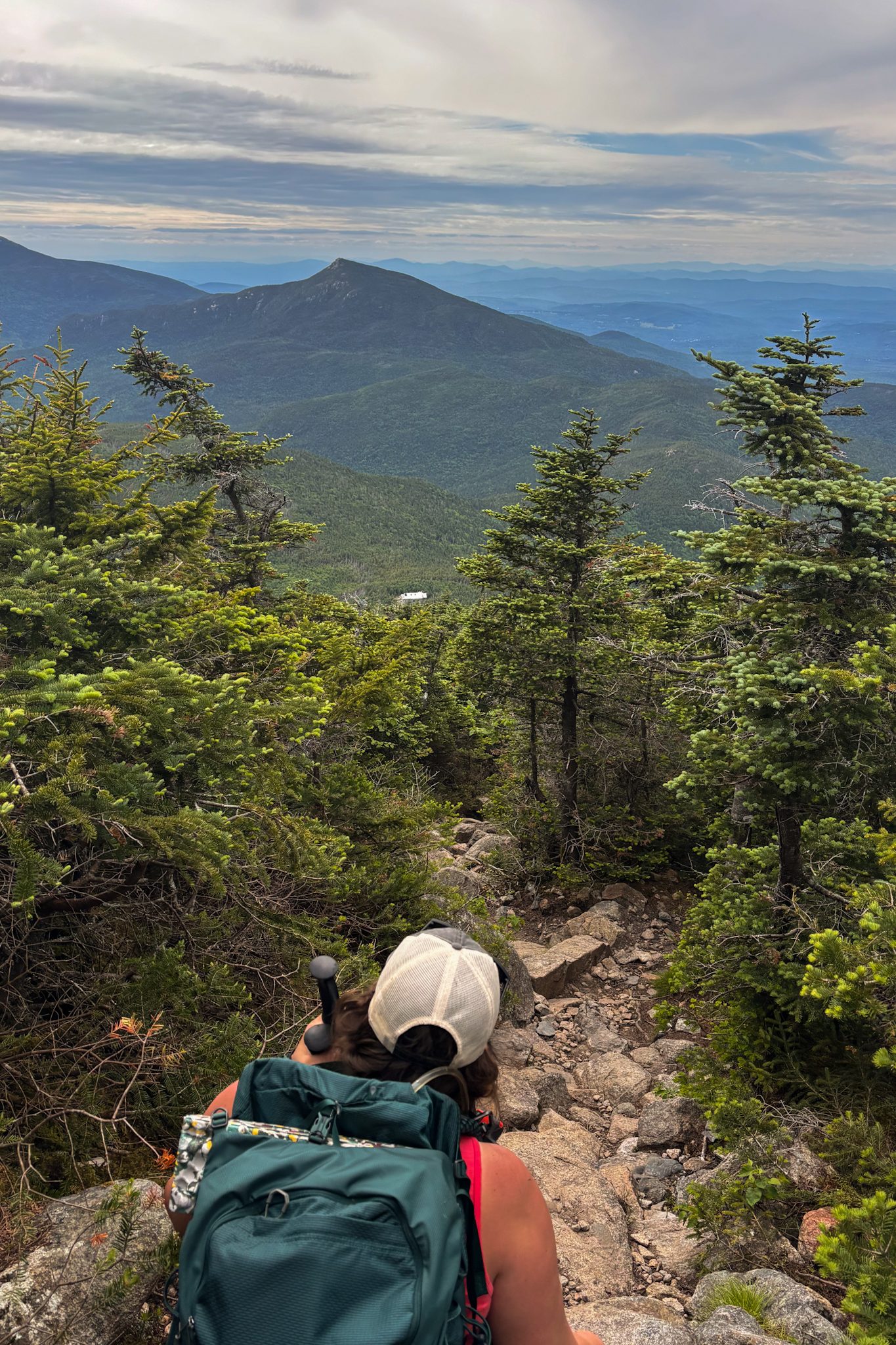
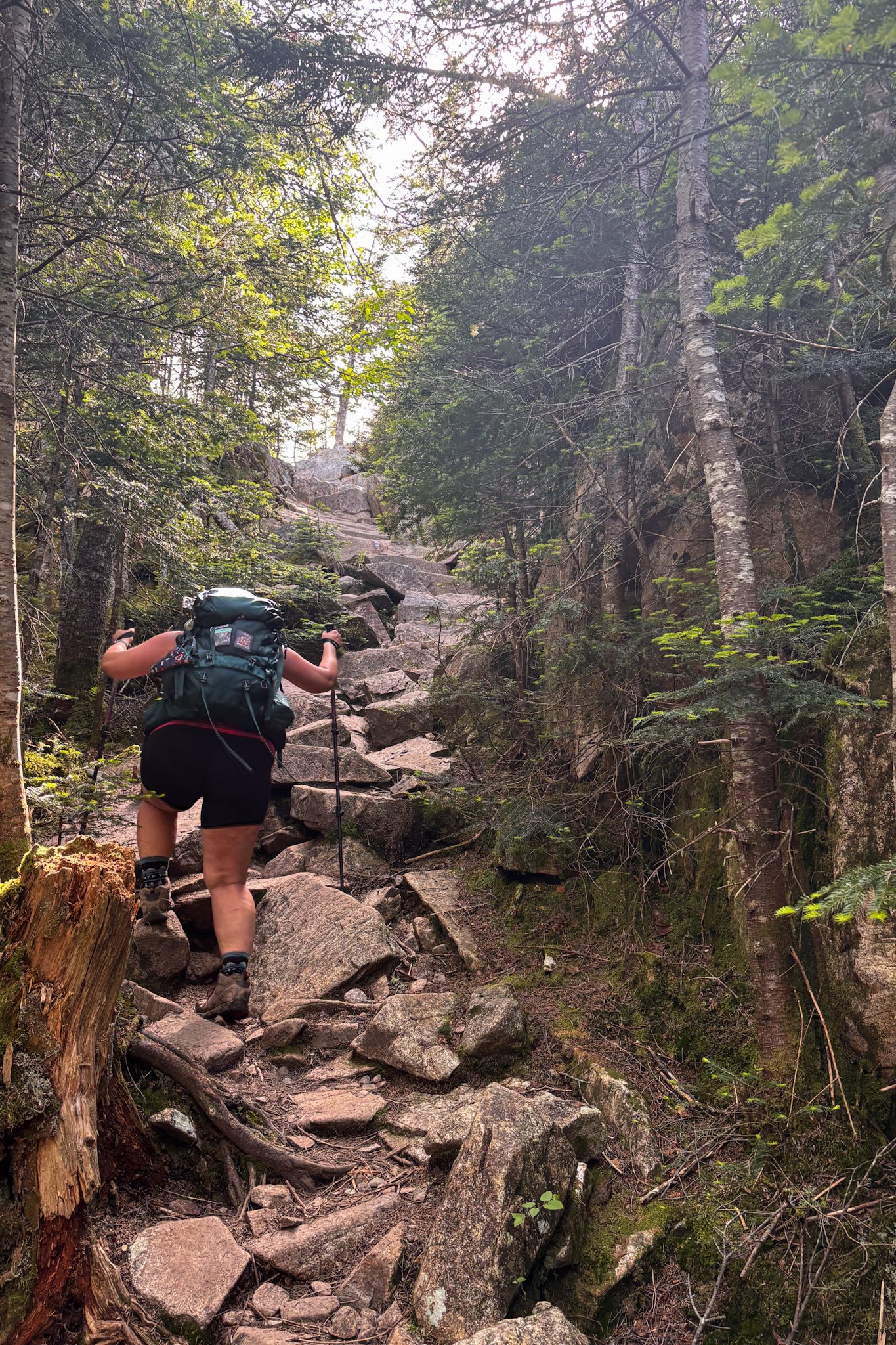
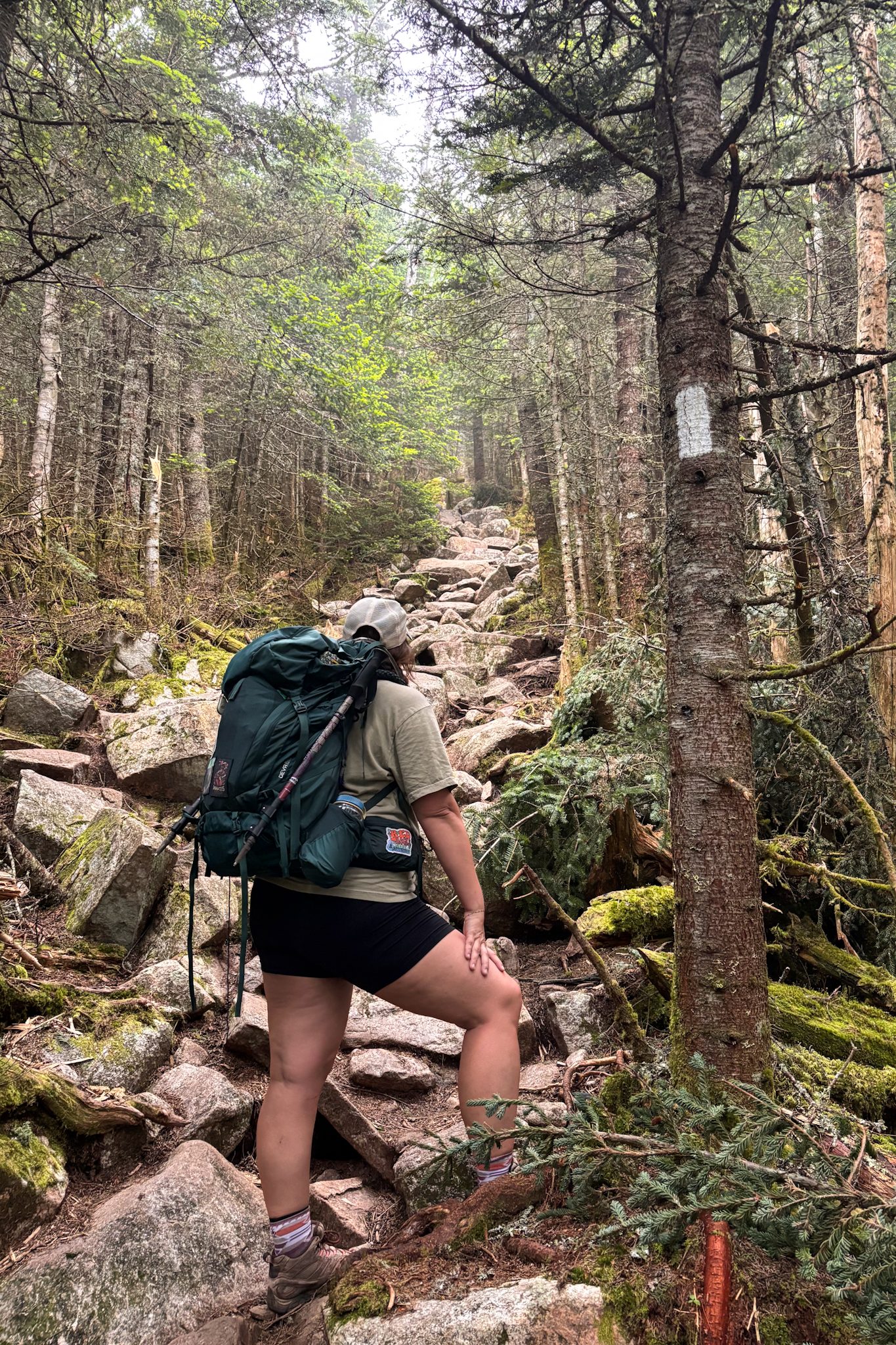
After a nice lunch and short rest, we hit the next part of the trail that would bring us to South Twin, another peak. Right after we passed the intersection and got onto the next trail, I somehow managed to trip and fall. It came out of nowhere. I was wearing a baseball hat and the brim of it definitely saved my face. I hit my head and had a big lump immediately after. I also had a cut between my eyes. Liz, a mom of three, was quick to check me for signs of a concussion but all things considered I was fine. I had some scraps and bruises but it could’ve been MUCH worse. After some crying, we continued walking around. I was pretty shaky after the fall so we took it easy and moved slow. I was really sad though because as I mentioned earlier, I was feeling really fit and we had a great pace going, so this was a blow to my ego. I was pretty shaken up for the remainder of the day. We got to the summit of South Twin and the views were stunning in every single direction. We were so close to the next hut we were staying at but we had a very long descent before we could reach it. We’d be descending about 1,200 feet in less than a mile (about 0.80 miles), which is STEEP. I was already shaky after my fall so I was so nervous doing it. It took FOREVERRRRRRR.
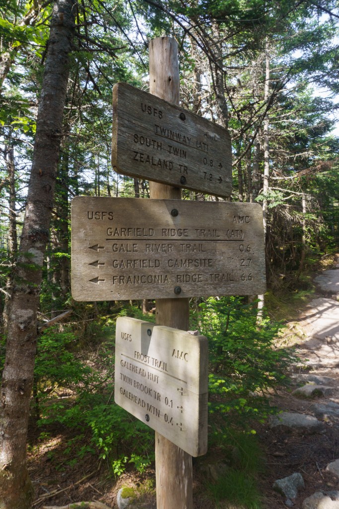
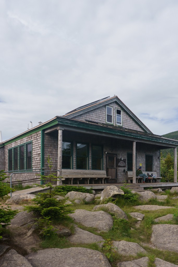
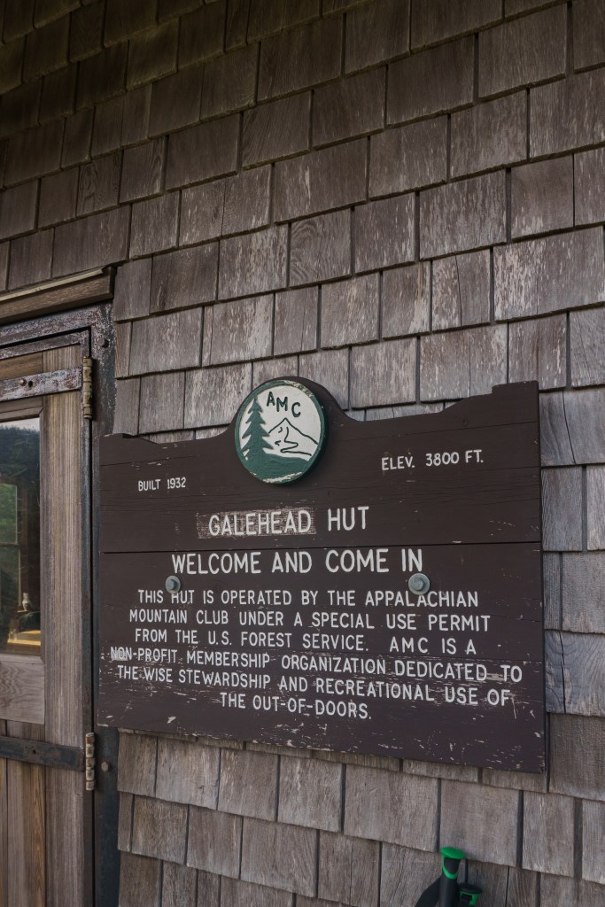
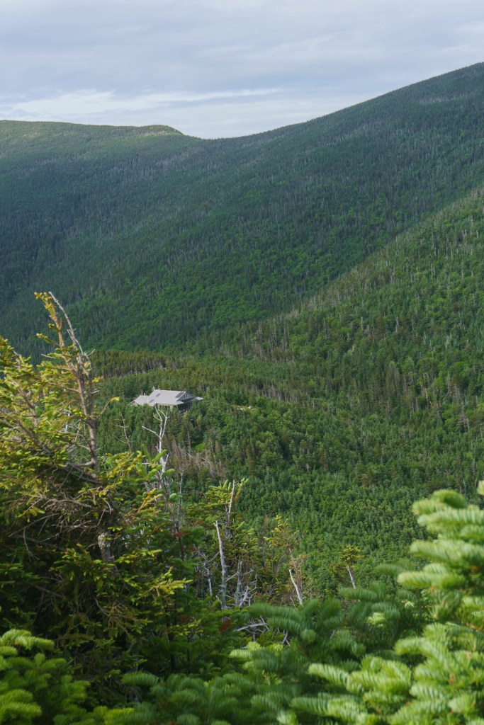
The descent never seemed to end, but finally it did and we arrived at the Galehead Hut. There was another peak that was about a half mile from the hut so after dropping off some gear we didn’t need at our bunks, we headed out to bag Galehead, another wooded peak with no view. We were able to do it pretty quickly. Once we got back to the hut and freshened up, I grabbed an ice pack from the hut croo and took some time to ice the goose egg on my head before dinner. There was a smaller group at the hut that night, which was nice. We got to talk to a lot of people and chat about what their plans were for the following day. Normally I like to stay up at read in my bunk but I wanted to get to bed early. Unfortunately, one of the men in the bunk room was quite the snorer so he made that a little difficult haha!
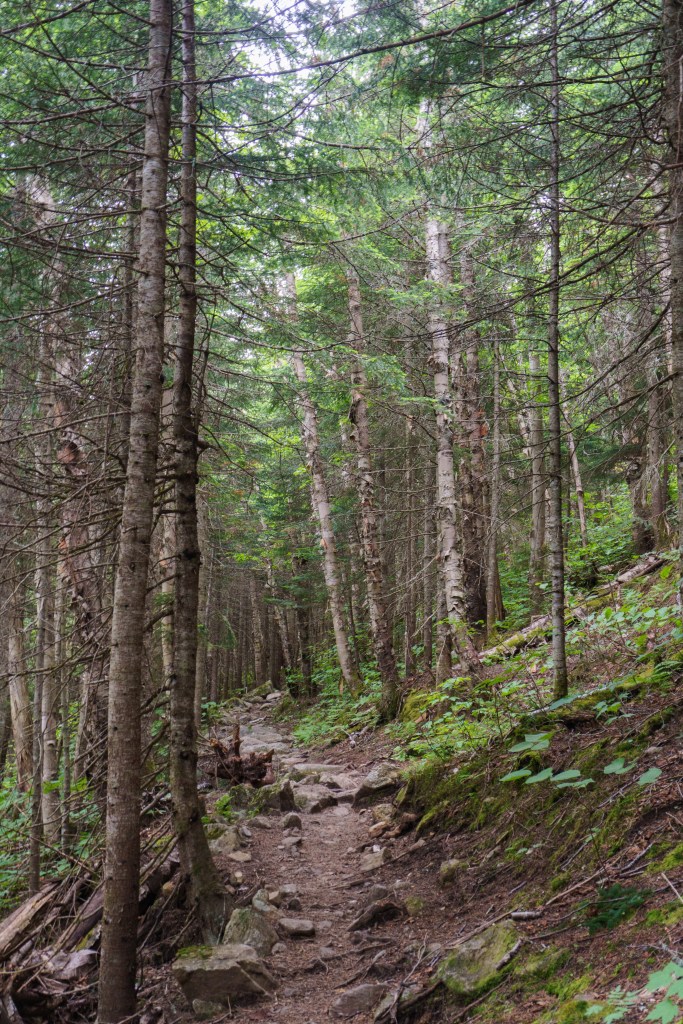
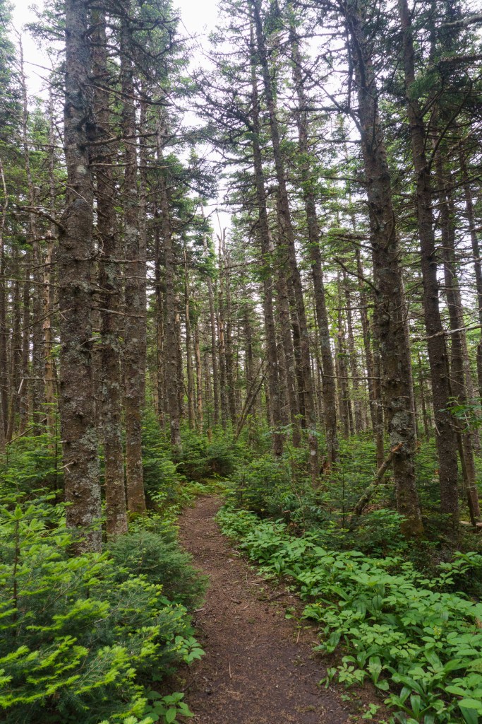
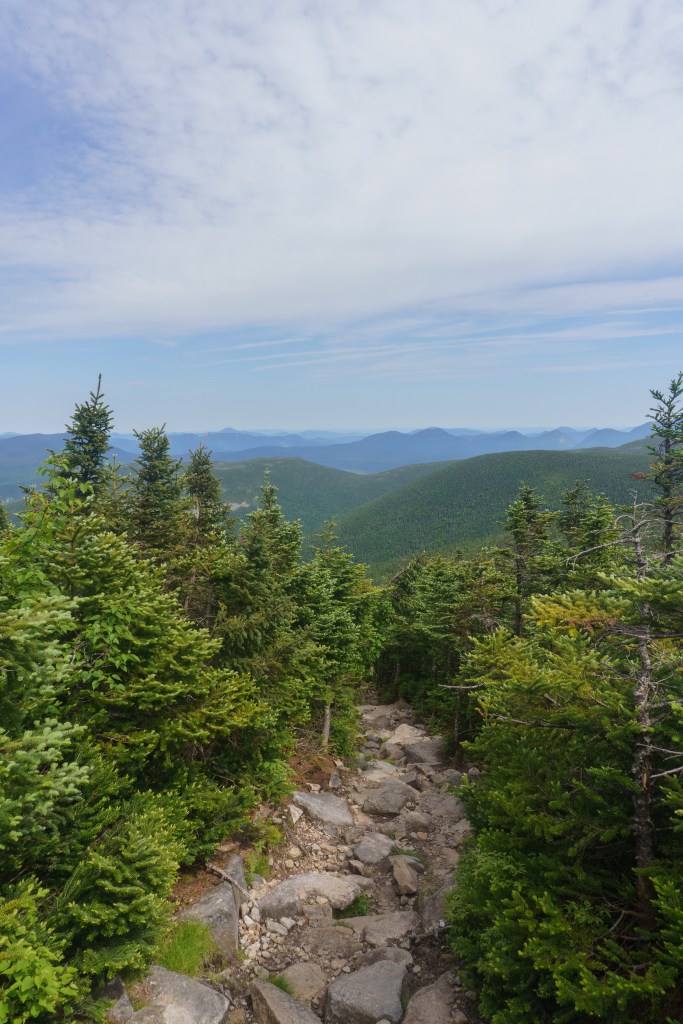
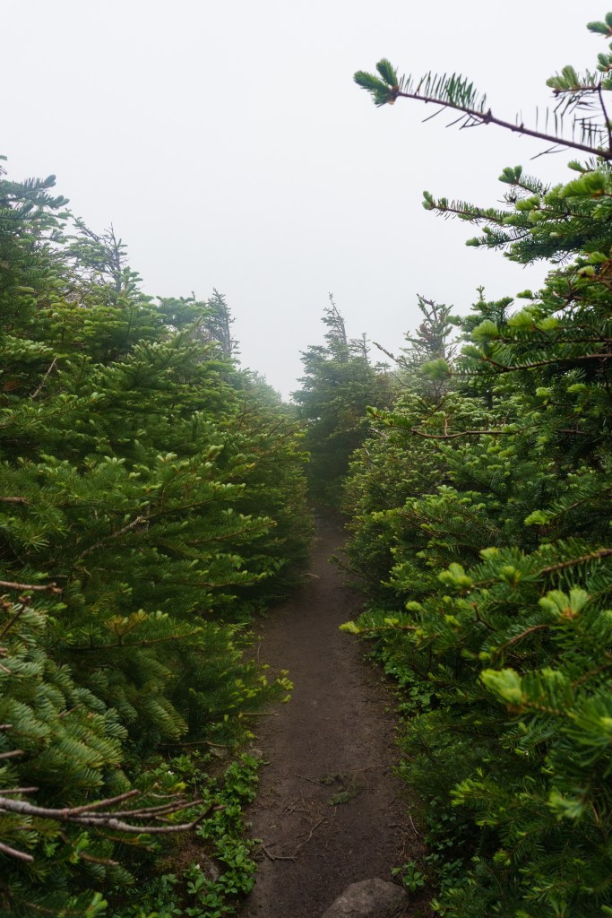
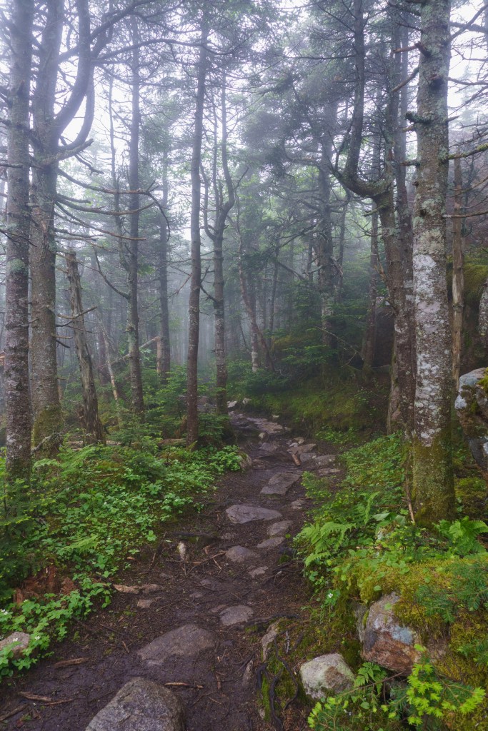
The next morning it was foggy, muggy and rainy out. We were dreading our ascent of South Twin (remember? 1,200 ft in less than a mile!) that we’d need to tackle after breakfast. We said goodbye to the friends we made the night before and hit the soggy trail. Luckily for us, it was just drizzling out when we started and we had plenty of tree cover to keep us dry. Liz had a game plan for the first large ascent – she’d count 75 or 100 steps, then stop to rest for about 30 seconds before starting again. This actually worked out great for us and when we reached the summit of South Twin, we both were surprised how quickly we were able to climb it. There were no beautiful views from the summit that morning, we were completely socked in, so I’m very glad the day before was clear! From South Twin, we were going to cross over to North Twin. There wouldn’t be a ton of elevation between the two peaks so we were looking forward to that. Honestly the trail was beautiful. Everything was so green! After about a mile and a half of easy terrain, we reached North Twin. This peak was another wooded summit, marked by a pile of rocks. Since there wasn’t a view to see, we continued on our way.
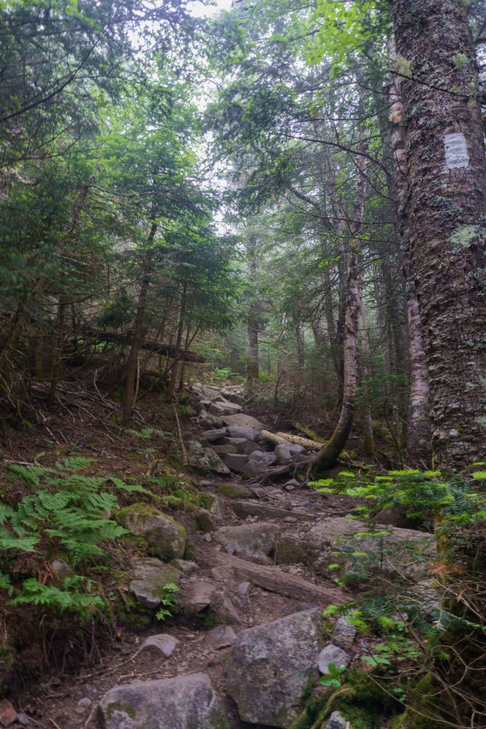
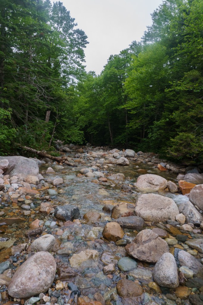
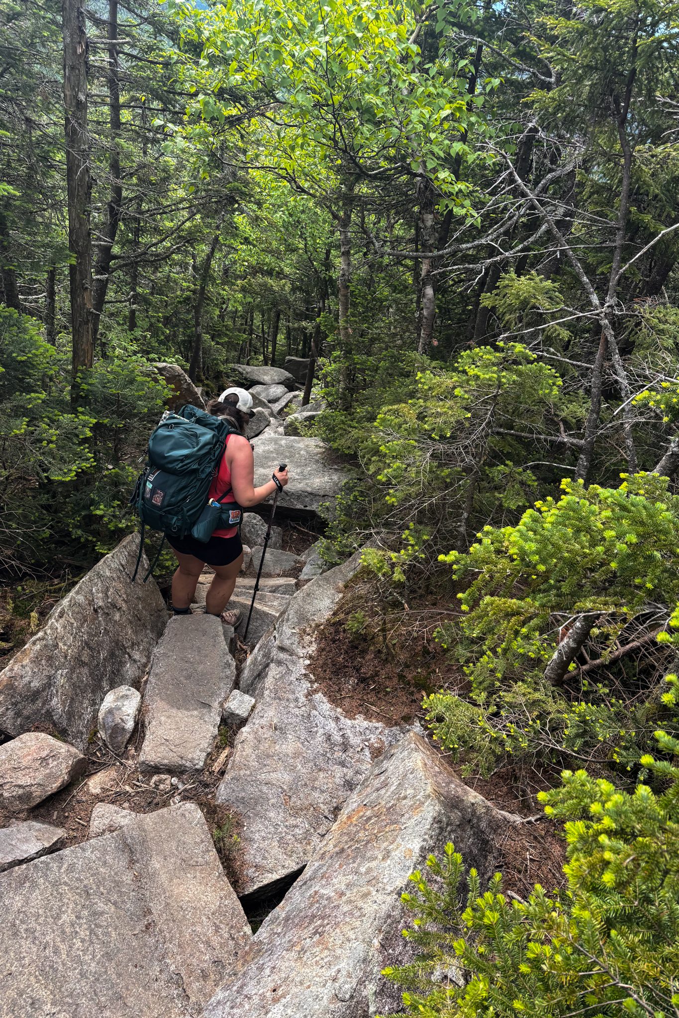
We began the descent, which would take us to parking lot where Liz’s car was. I cannot stress enough how long this trail felt. It was pretty steep most of the way so you had to take things slow. Then, just when the terrain looked like it was going to get easier – flatter, with less boulders and large rocks to climb down – it got worse. The trail turned to loose dirt with smaller stones and rocks so every step felt like you were either going to roll an ankle or that your feet would fly out from under you. It was slow moving and neither of us were in the mood to talk or chit chat, we just grumbled and complained to ourselves. Finally, the trail leveled out and we walked alongside a river, which was nice, but again, the trail continued on without an end in sight. We had to do a few water crossings and finally were in the homestretch. I saw the reflection of cars in the parking lot and we both started cheering. After stumbling into the car, we drove to the original trailhead we started at so I could grab my car, then we immediately drove to Rek-Lis Brewing for our favorite Mexican Street Corn Nachos and beers. Afterwards, we went to the famous Super Secret Ice Cream for dessert, then back to Liz’s Airbnb to shower and clean up. We did some laundry, ate snacks and I made Liz watch a slide show of all my pictures from my California vacation (you can read about it here!). As you can imagine, bedtime came early for us. No sleep is a better sleep than a post-hiking trip sleep!
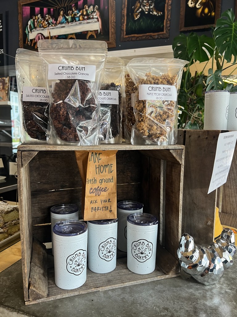
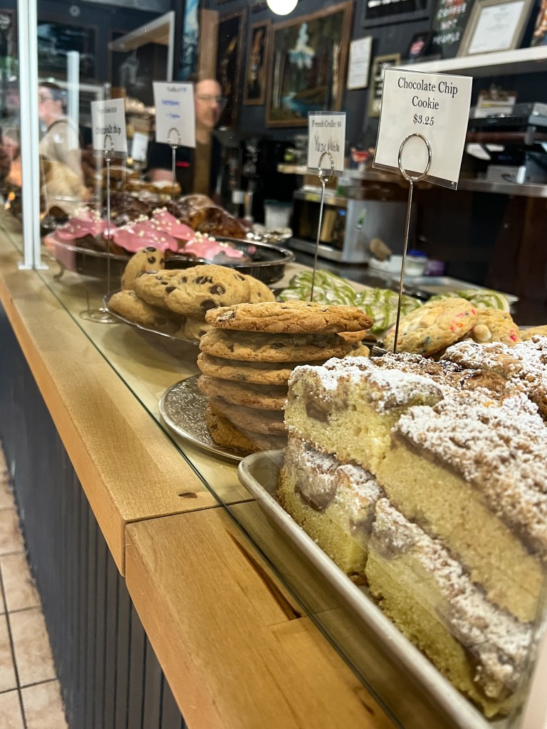
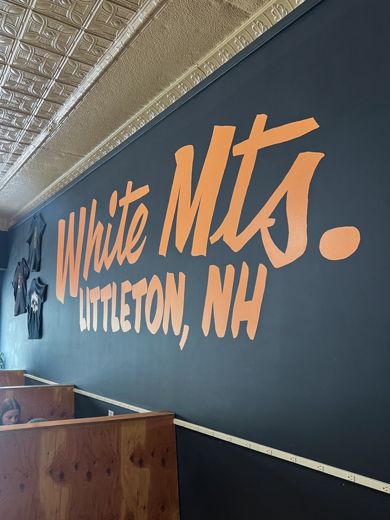
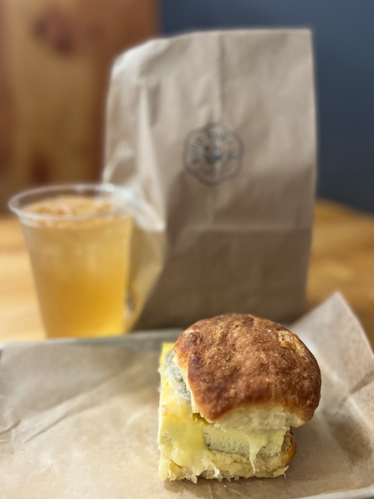
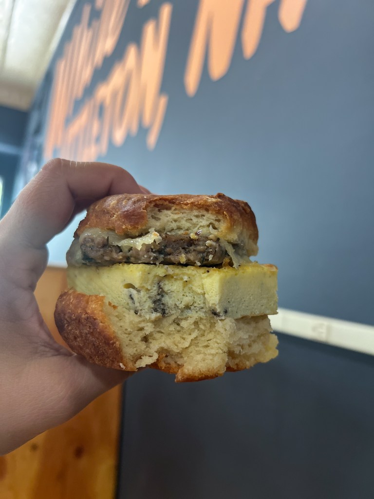
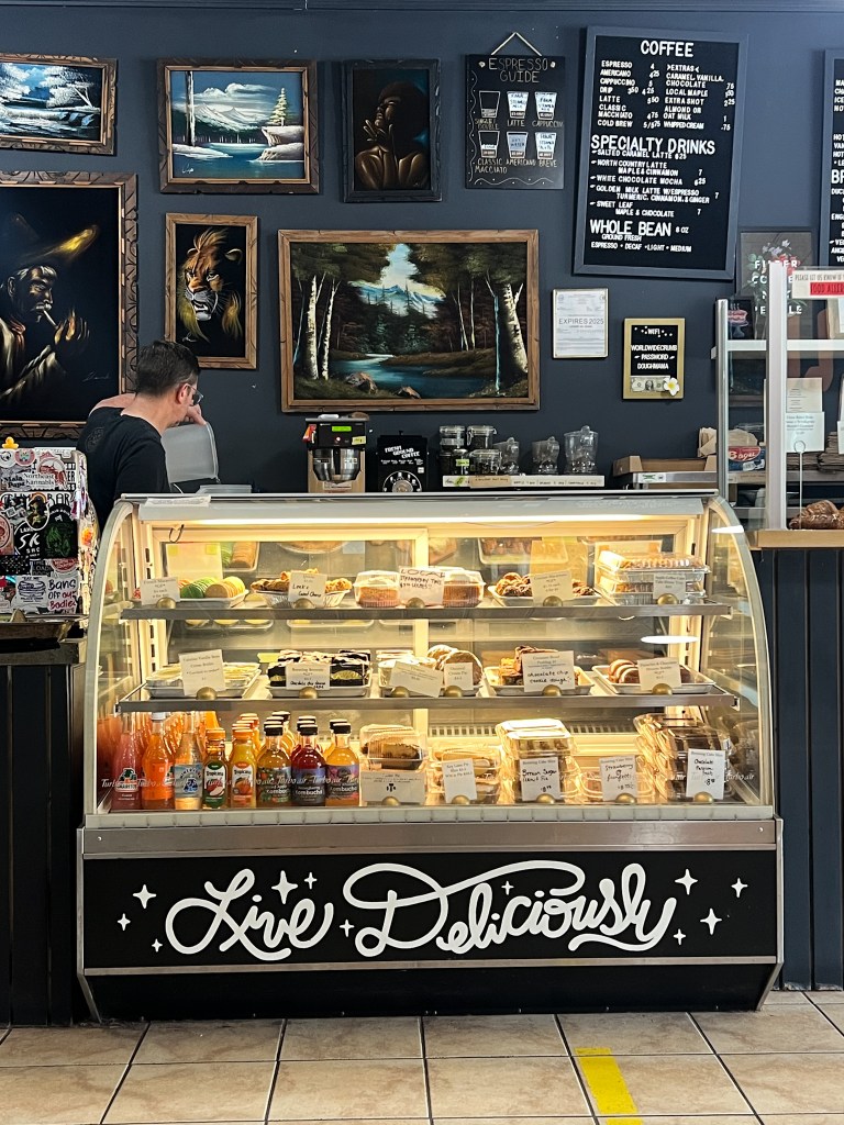
In the morning after we woke up, we talked downtown to get breakfast at Crumb Bum Bakery on Main Street in Littleton. It’s such a cute spot and the food was SO GOOD! I had a delicious sausage, egg and cheese sandwich on a biscuit. I also picked up a few pastries to bring home to Jarrett. The bathroom is really fun and is wallpapered with old cookbook pages showing fancy cakes and desserts. If you are in the Littleton area, I suggest stopping by for a treat!
It was another great adventure together, minus my head injury, but I’m happy to report that I had no permanent scars or bumps 😊
📍I acknowledge the lands mentioned in this post are the ancestral lands of the N’dakina (Abenaki/Abénaquis) and Wabanaki (Dawnland Confederacy) people.

Leave a comment