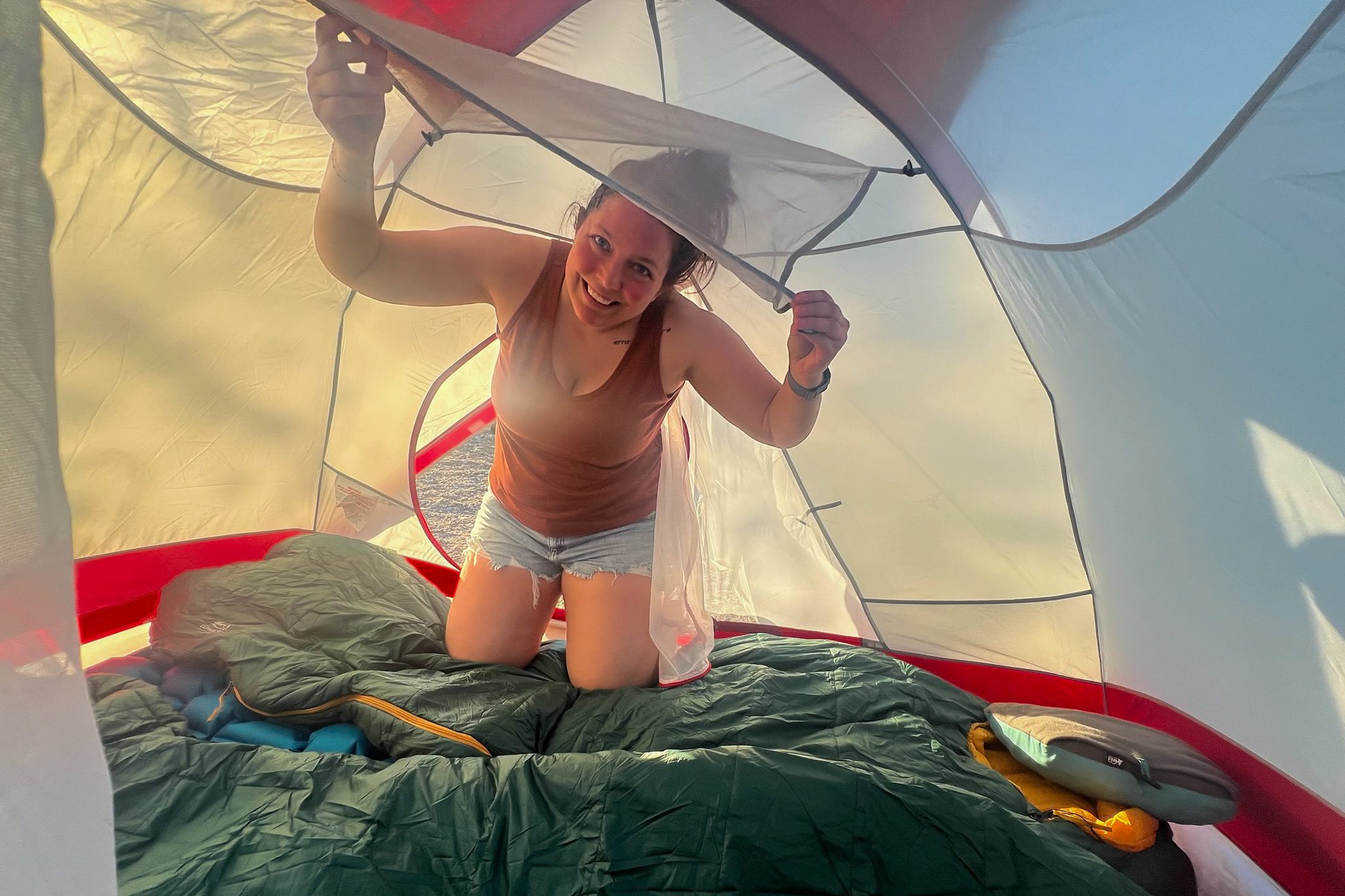
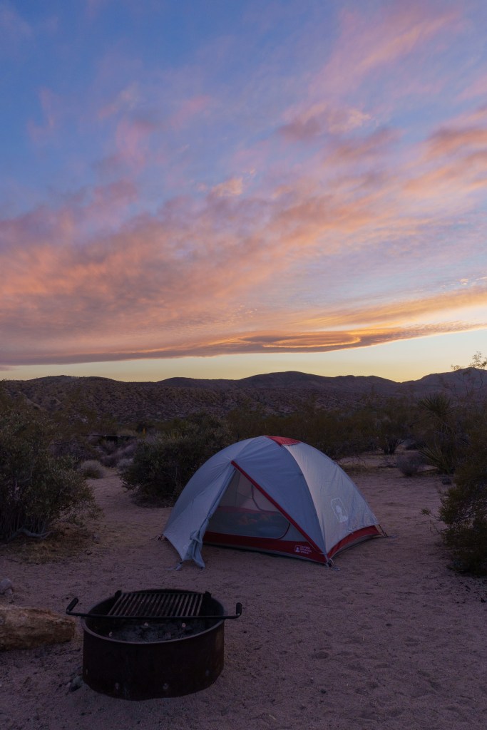
While Jarrett and I have been traveling together for years, and have been focused on more outdoorsy vacations recently, we had never been camping together. It’s something we had been wanting to try but we were a little nervous to pull the trigger. At the end of 2024 we were plotting out our next vacation and landed on doing another California trip to hit up 4 more of the National Parks there. Since we’d be primarily in the desert, and near some parks that were far from towns or hotels, we thought it would be the perfect chance to try things out. A friend of ours had let us borrow a 2-person backpacking tent so we just needed to buy a few other supplies. We brought our large backpacking bags and then one larger duffel bag that held all our camping supplies. We carried on backpacks but checked the duffel bag that included the tent and cooking utensils. It was a little nerve racking checking a bag with so many supplies, but it worked out.
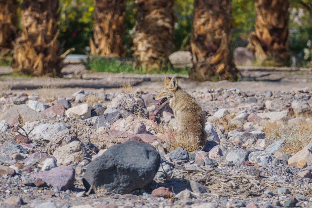
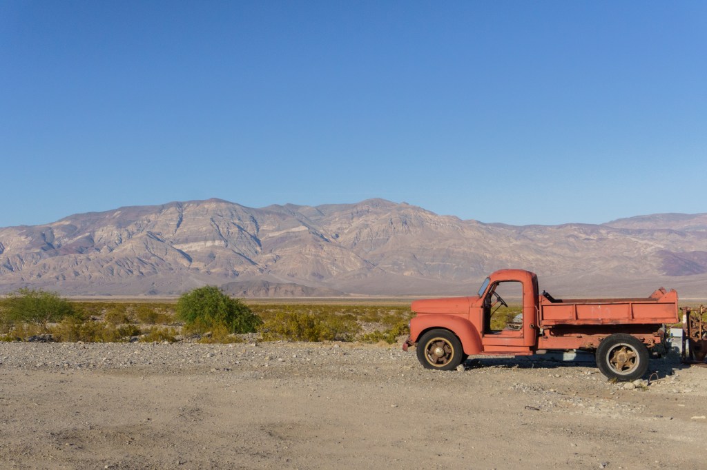
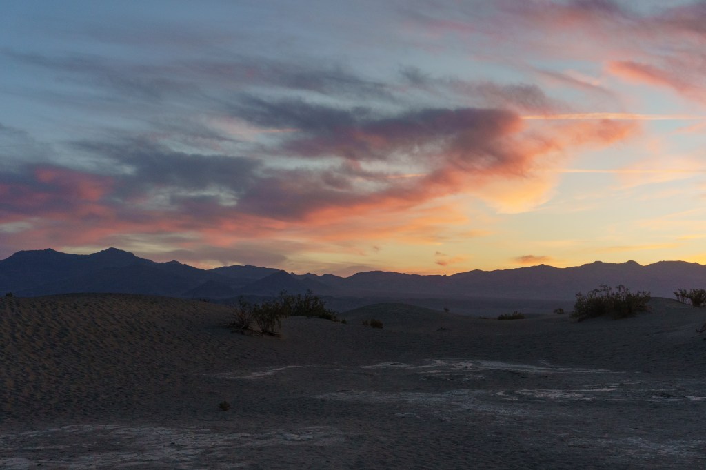
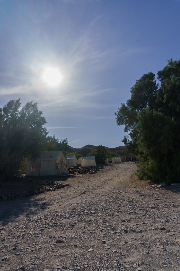
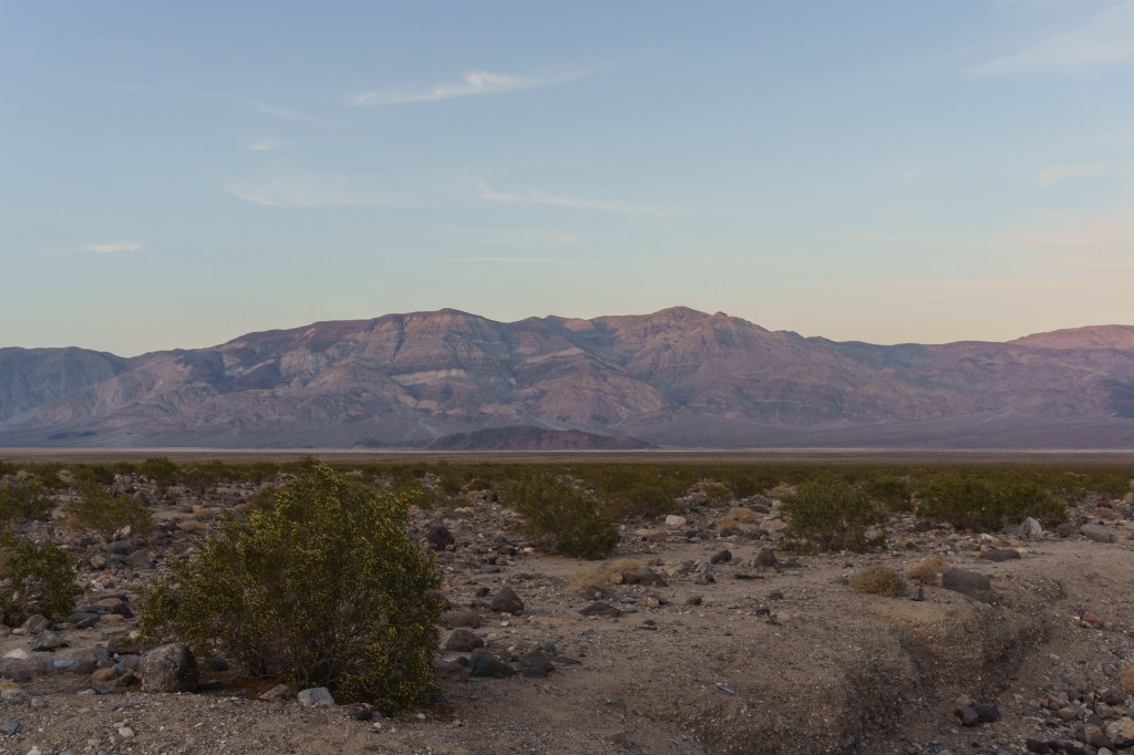
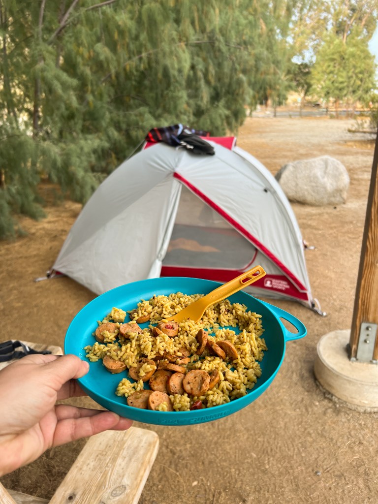
We flew into Vegas early in the morning. Our first stop was to pick up the rental car, and then we ran to a Wal-Mart Supercenter to pick up groceries and other necessary supplies. Then we hit the road to our first destination – Death Valley National Park! Our trip was in early April, and we knew it would be hot there, but we were still surprised by how hot! Shortly after entering the park, we saw a coyote on the side of the road, which we got really excited about. Our main focus for the day was to get to our campsite on the West side of the park, which would take us about an hour and a half to get to through the park. We arrived at Panamint Springs Resort a little before sunset. The campground at the resort was very basic, but they did have flush toilets and showers. The resort itself had a convenience store and gas station, plus a bar/restaurant. It took us a little while to get our tent and such set up, so we didn’t even bother cooking dinner. Instead, we strolled across the street to get dinner at the small restaurant. It had a small food menu, but they had a huge cooler with beers that you could pick from. It was so nice sitting outside on the deck, drinking local beers and watching the sunset. We went to sleep early since we had been up since about 3AM but we both had a hard time falling asleep at first because it was so warm. Luckily it cooled off after midnight, but at first it was tough.
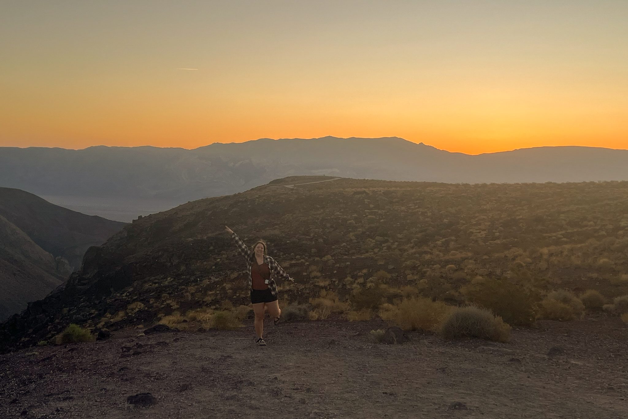
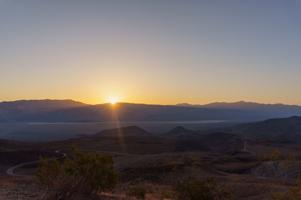
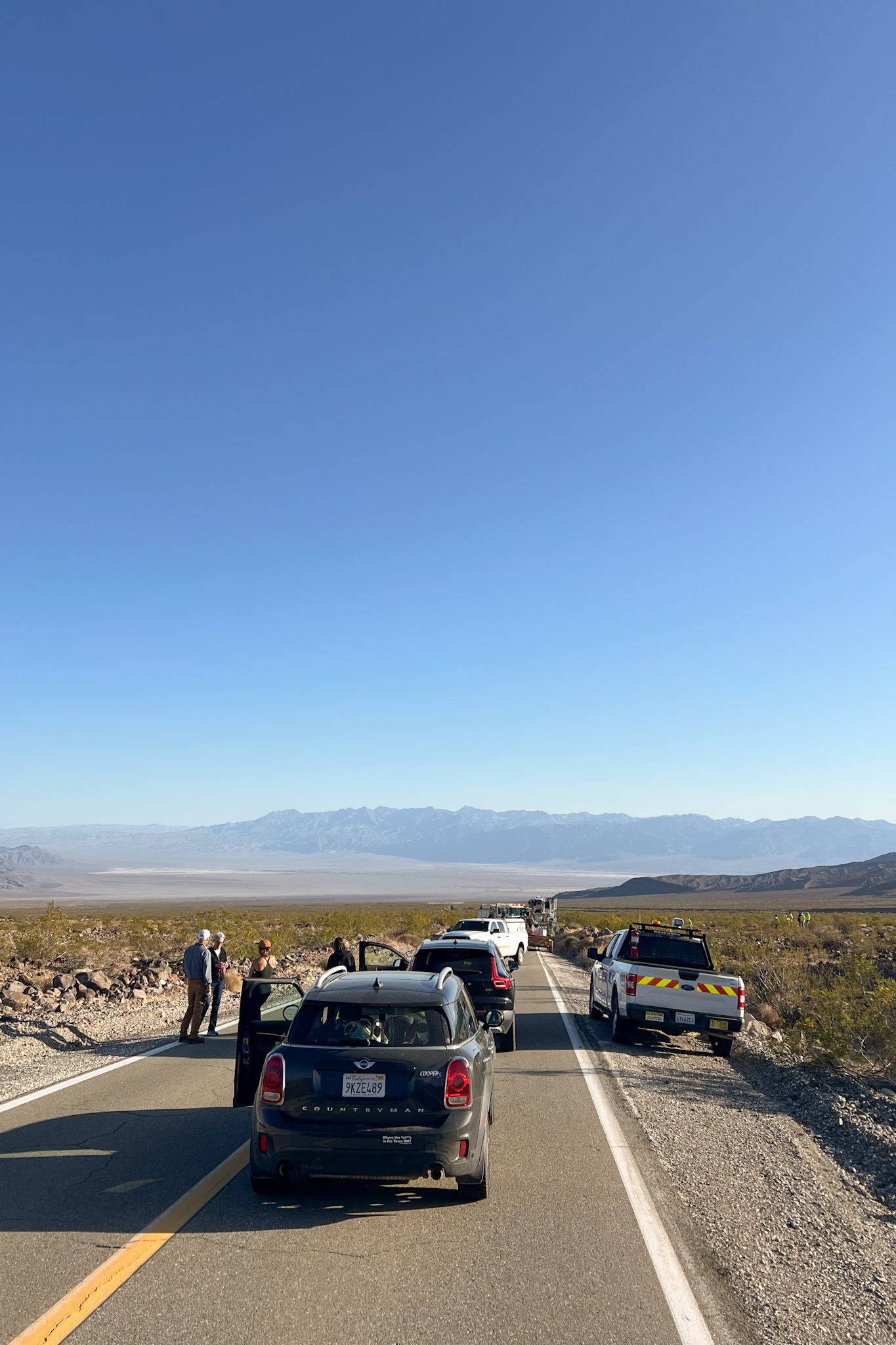
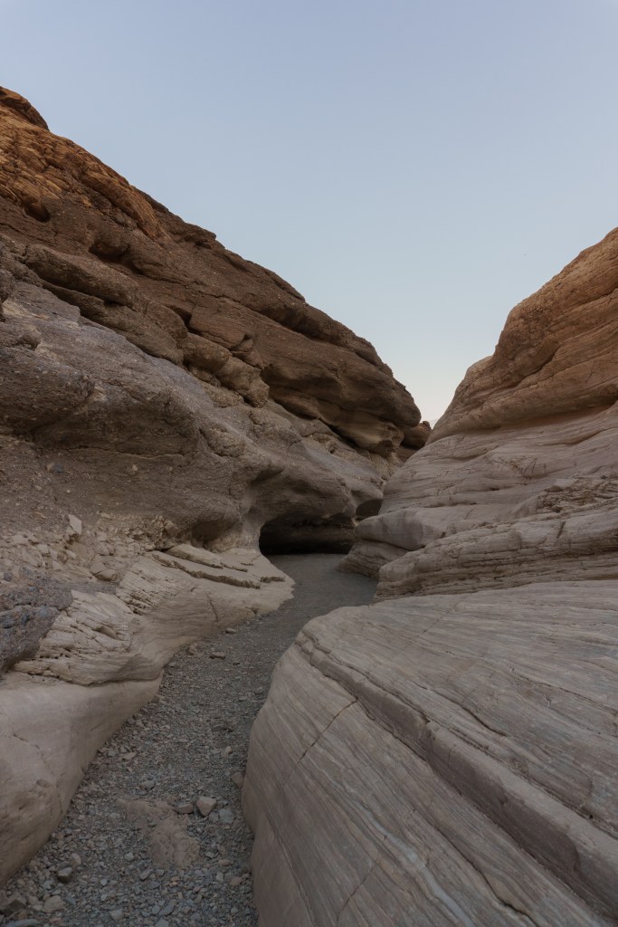
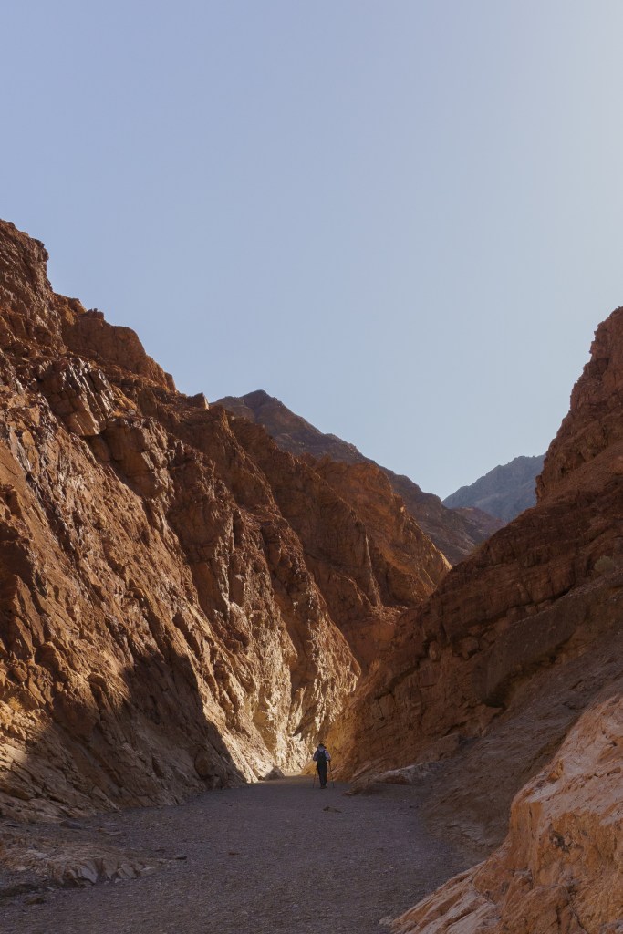
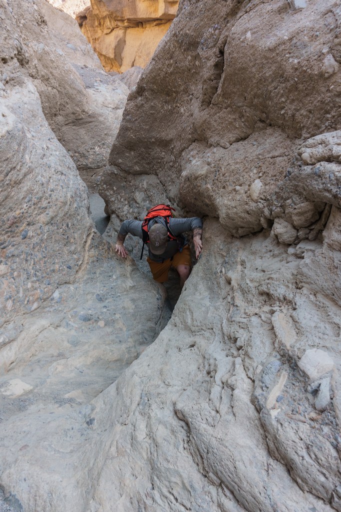
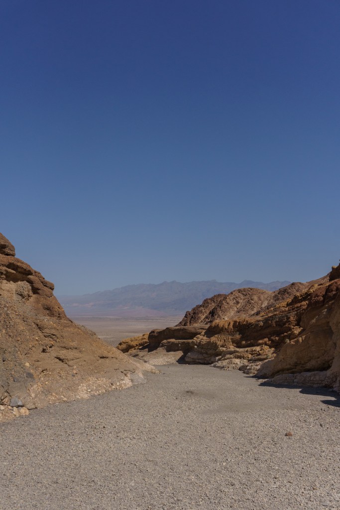
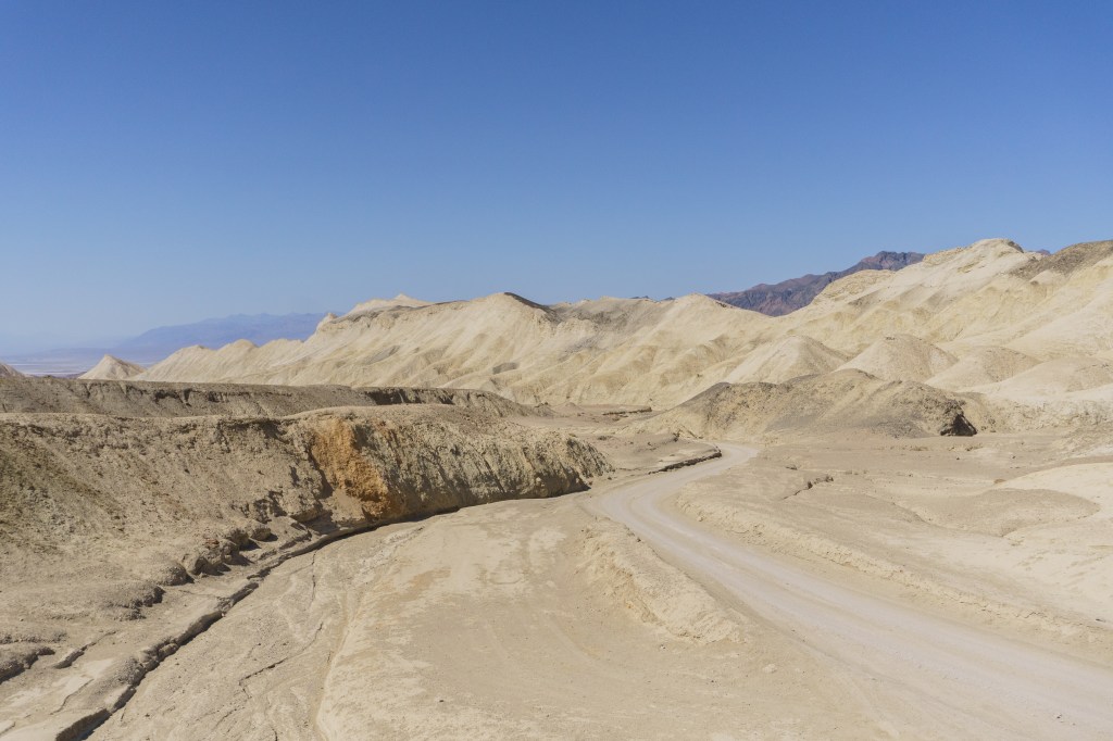
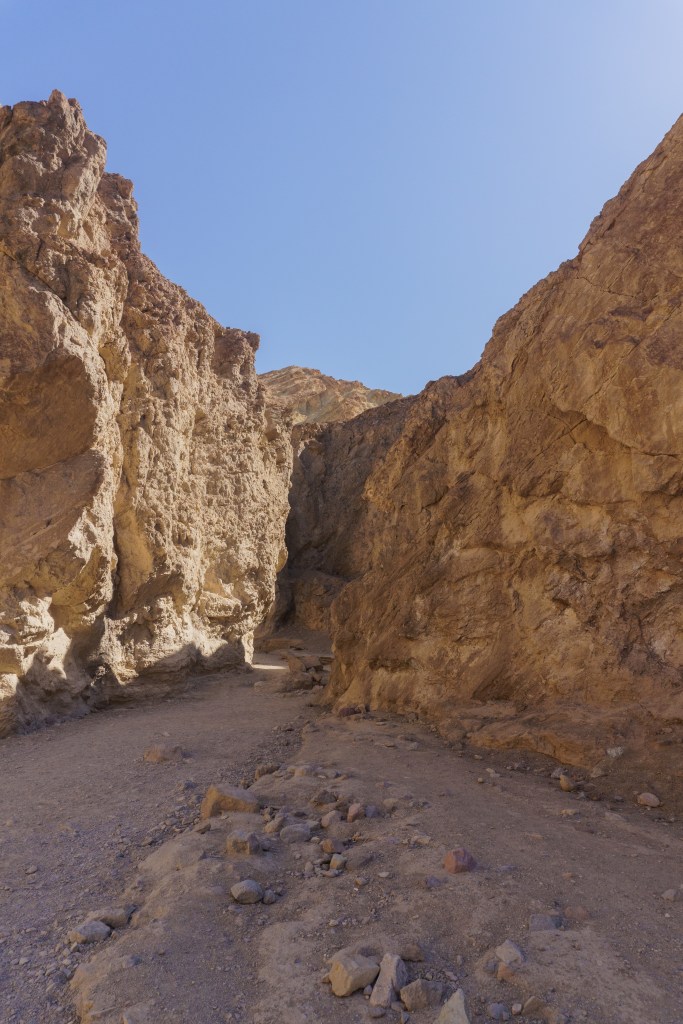
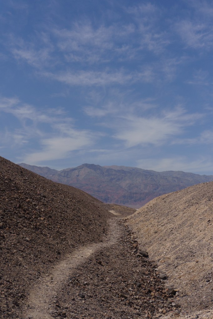
We woke up early the next morning and drove about a half hour west, to the far border of the park to Father Crowley Vista for sunrise. There is a parking lot here but there is a dirt road off the back of the lot. If you continue driving about a quarter mile on that dirt road, you’ll come to Padre Point, which gives you stunning views of sunrise. We were literally the only people there. It was so special! One thing about Death Valley is that it’s very large and requires a lot of driving. Also, because it’s so hot, it’s better to get a lot of your activities done in the morning before the sun is fully up. There are also signs in the park saying to drive without your AC on in the car because cars will overheat a lot in the park. We were delayed driving across the park to go to our first hike of the day because a large utility vehicle had caught fire, so the road was blocked by fire engines. We ended up at the trailhead about an hour later than we originally intended, but we were still on the trail by 8:45AM. It took us about an hour or so to do, but that included lots of pictures and snack breaks. The sun was already so strong even before 10AM but the canyon did offer some shade. The hike was fun and was a great introduction to Death Valley hiking.
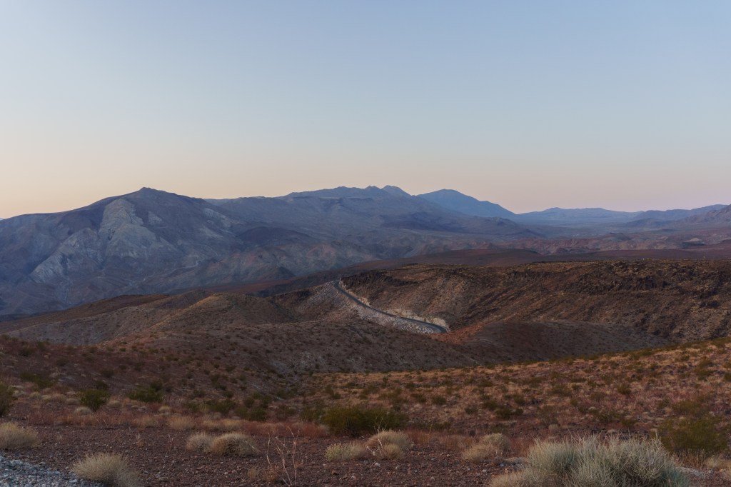
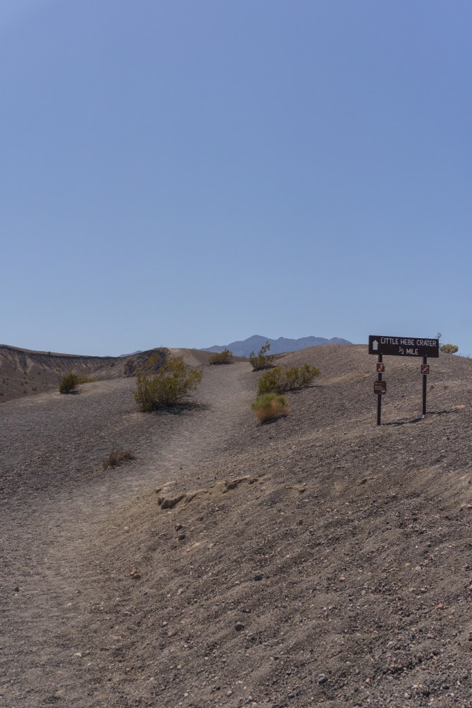
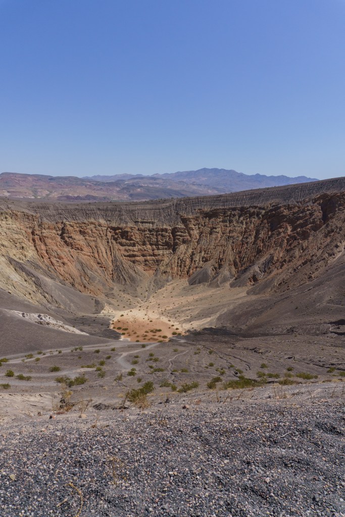
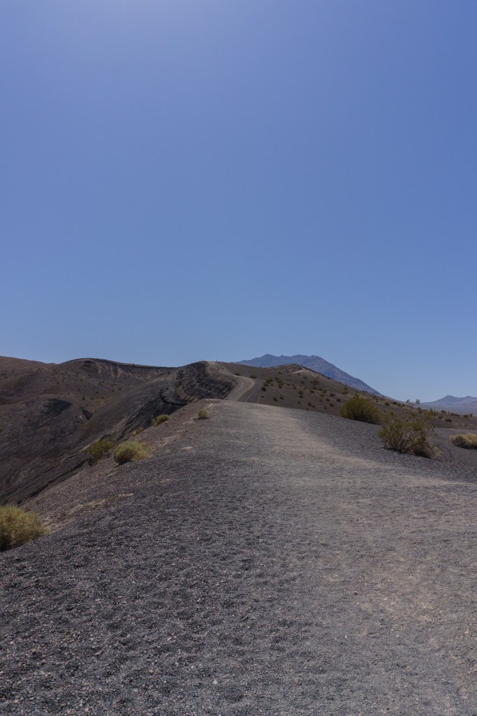
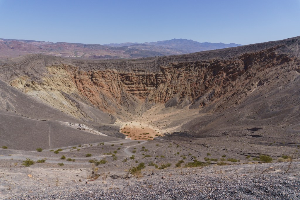
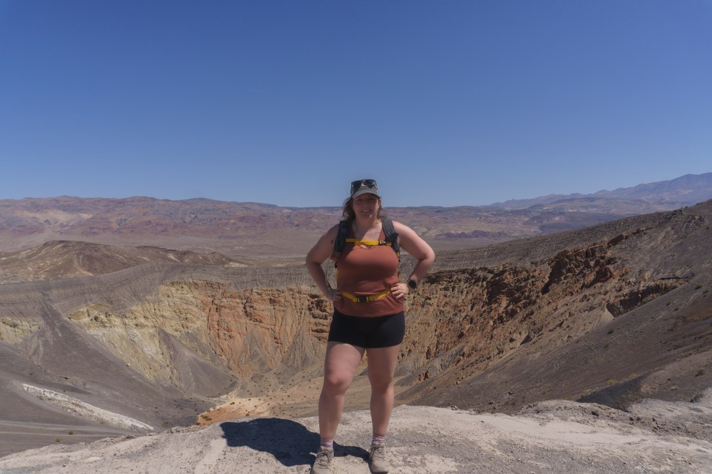
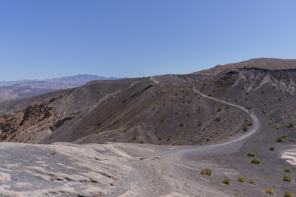
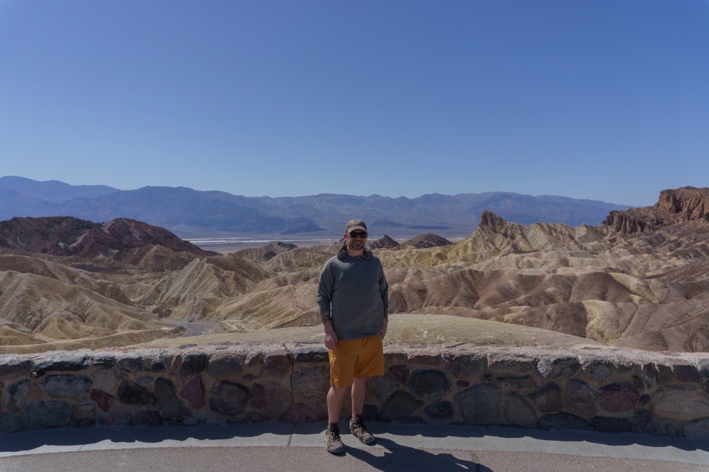
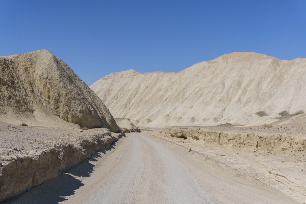
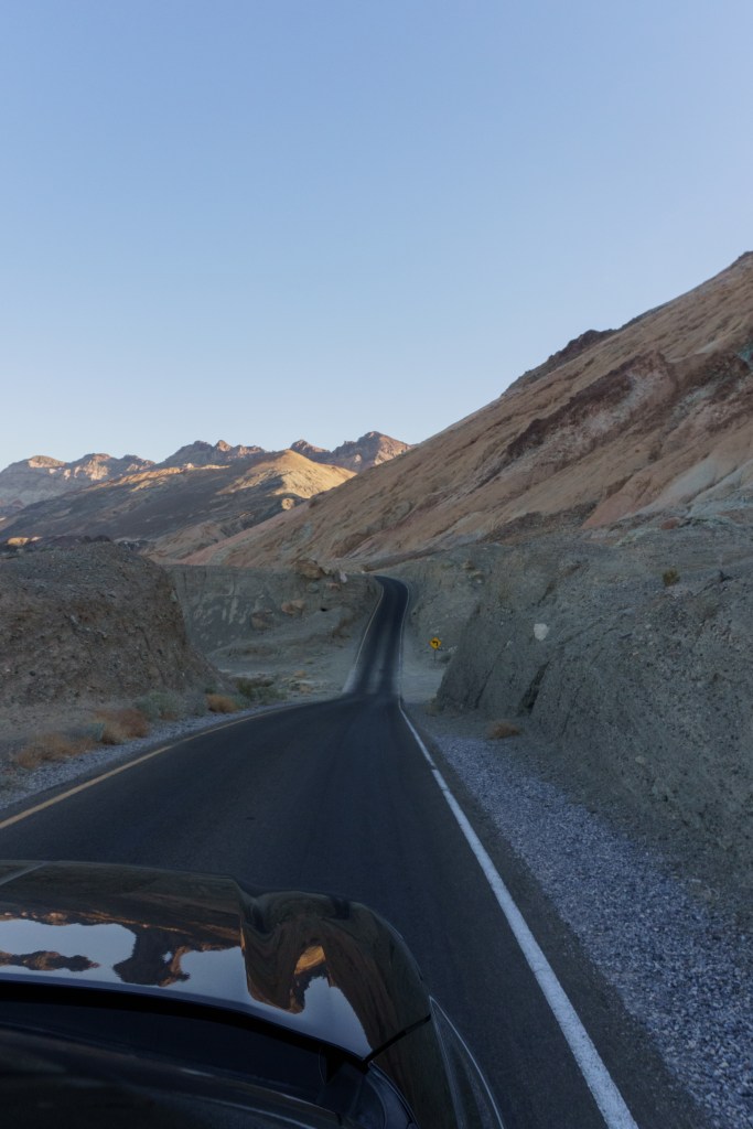
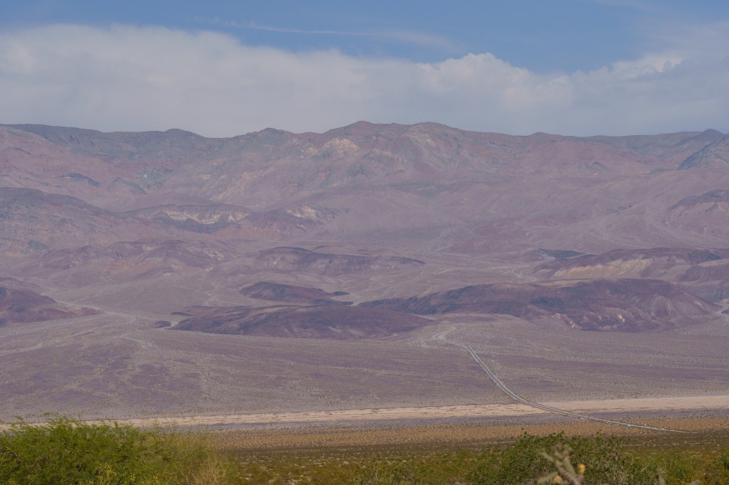
After we finished, we headed out to Ubehebe Crater, which was another long drive, but I really wanted to see it. The crater was massive and so impressive. We hiked up to the high part of the crater’s edge, but you can circumnavigate the whole rim (it takes about an hour to do) but it’s fully exposed to the sun so be prepared. The crater is also sacred to indigenous tribes and is part of their origin story. I thought it was worth the drive, it was interesting. After leaving the crater, we headed back to the center of the park and went to the visitor center, where the large thermometer outside showed 104º! They had some shaded parking structures that we parked under to have our lunch out of the sun. After lunch we drove Twenty Mule Team Canyon Road, a one-way dirt road that was featured in Star Wars (it was fine, but I wouldn’t attempt without an SUV or truck). Then headed up to Dantes View, a stunning panoramic vista overlooking Badwater Basin. Finally, we stopped at the famous Zabriskie Point. It requires a ¼ mile walk up a steep but paved walkway. It was early afternoon by this point, but it was still so hot. We drove back to our campsite and lazily hung around and tried to stay out of the sun as much as possible.
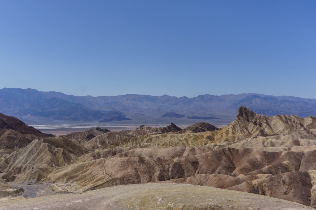
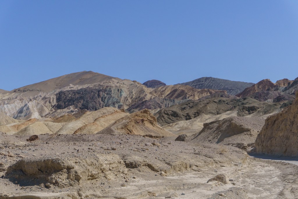
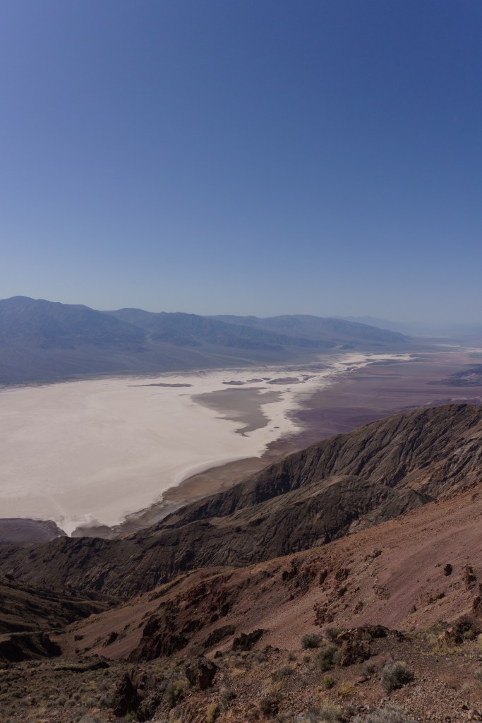
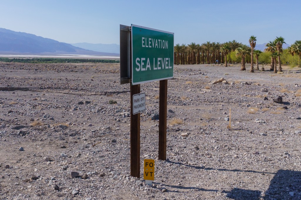
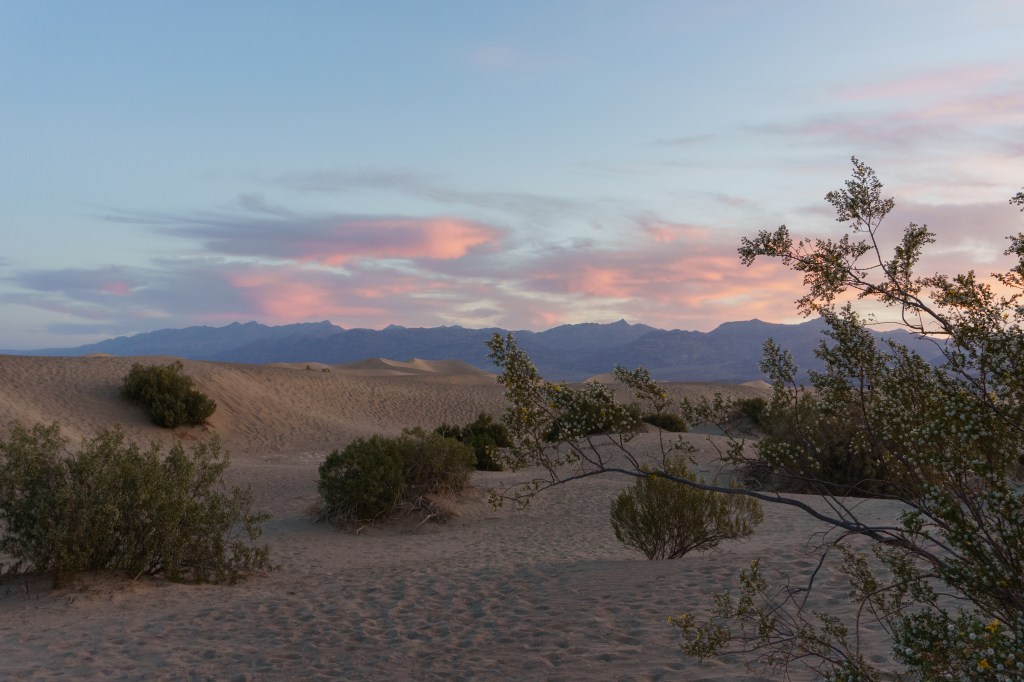
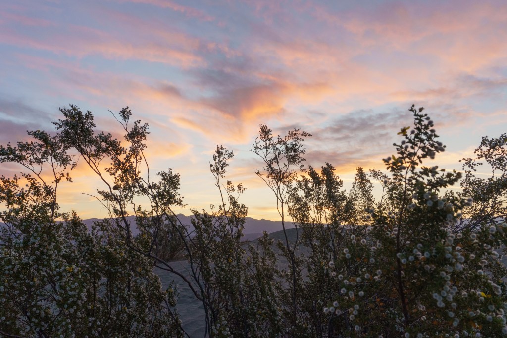
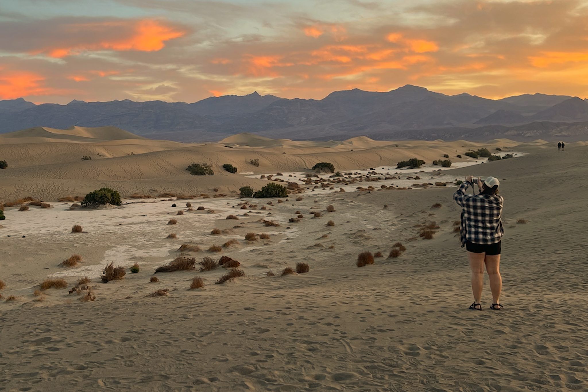
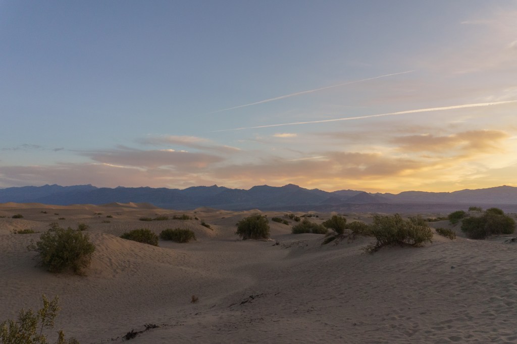
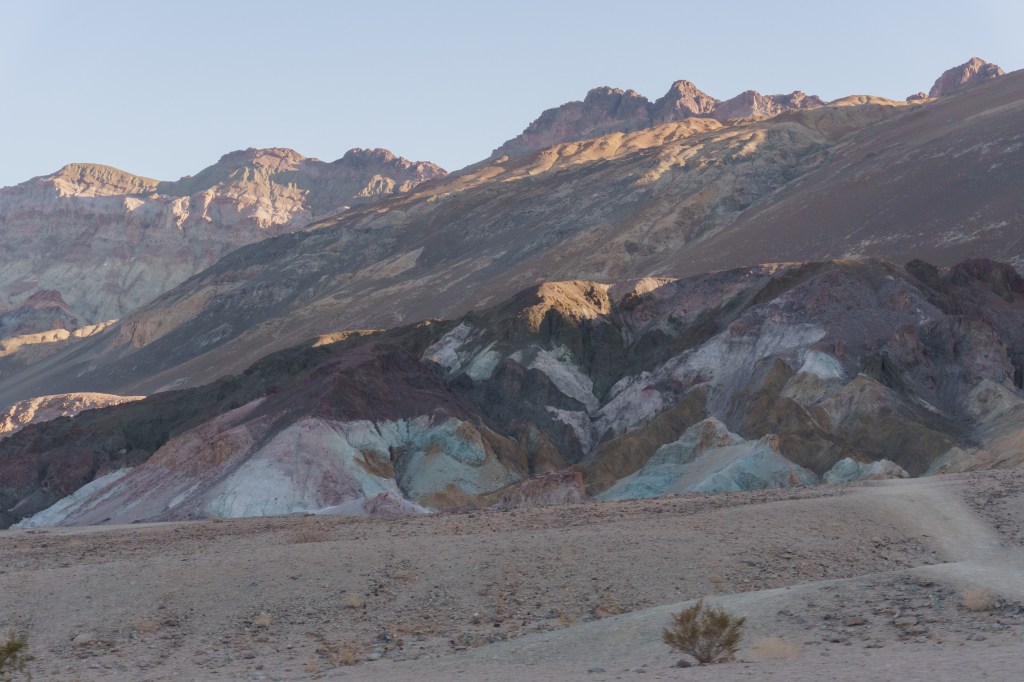
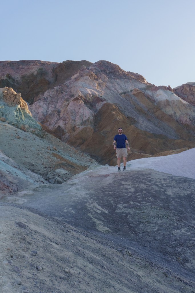
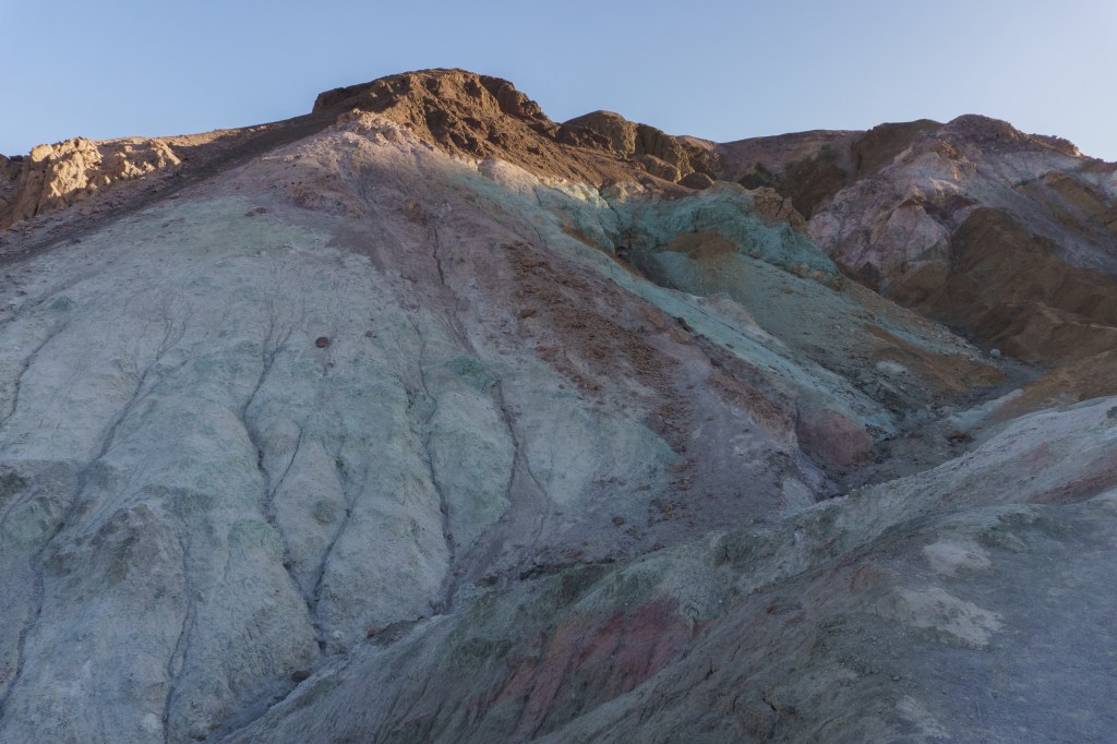
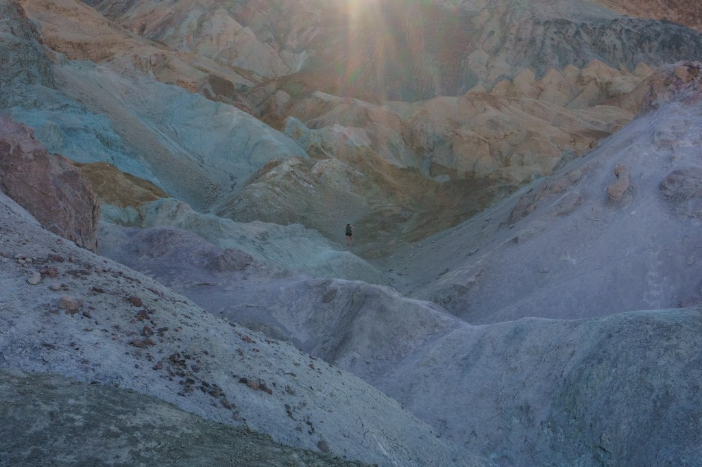
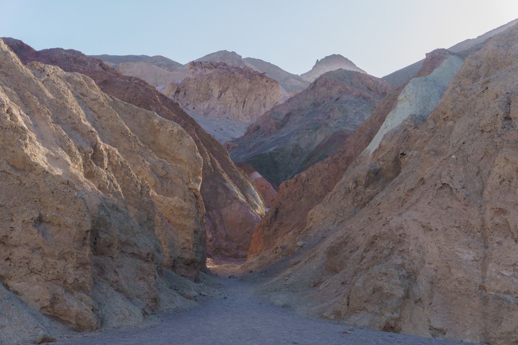
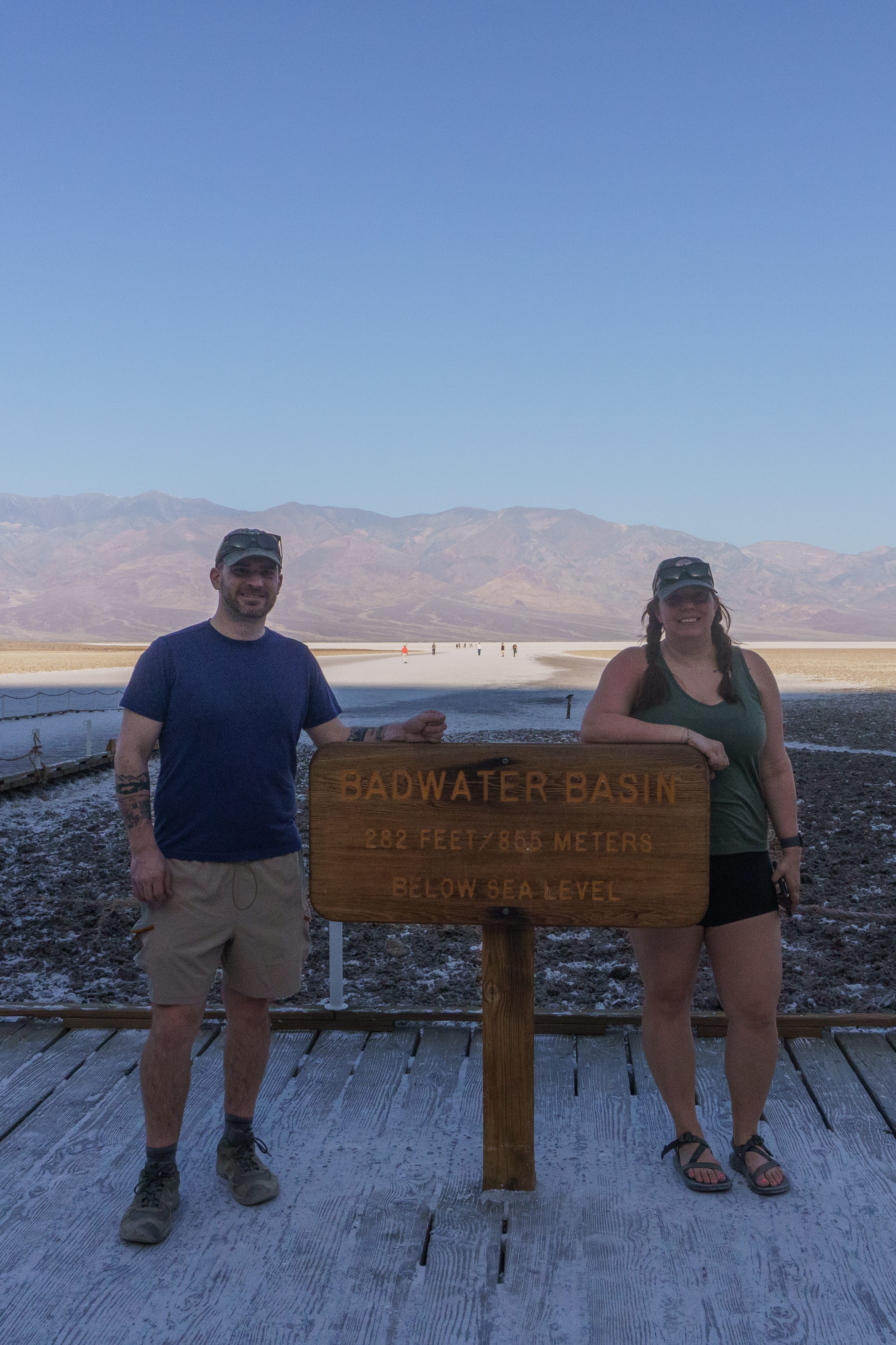
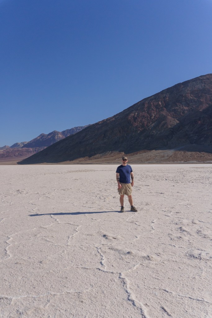
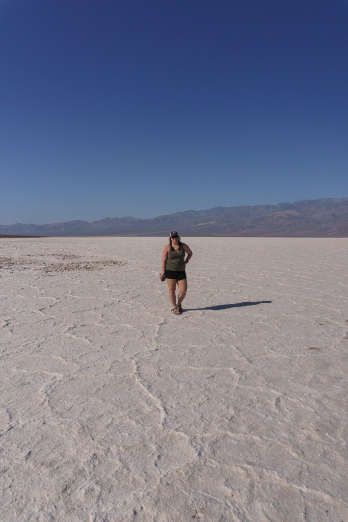
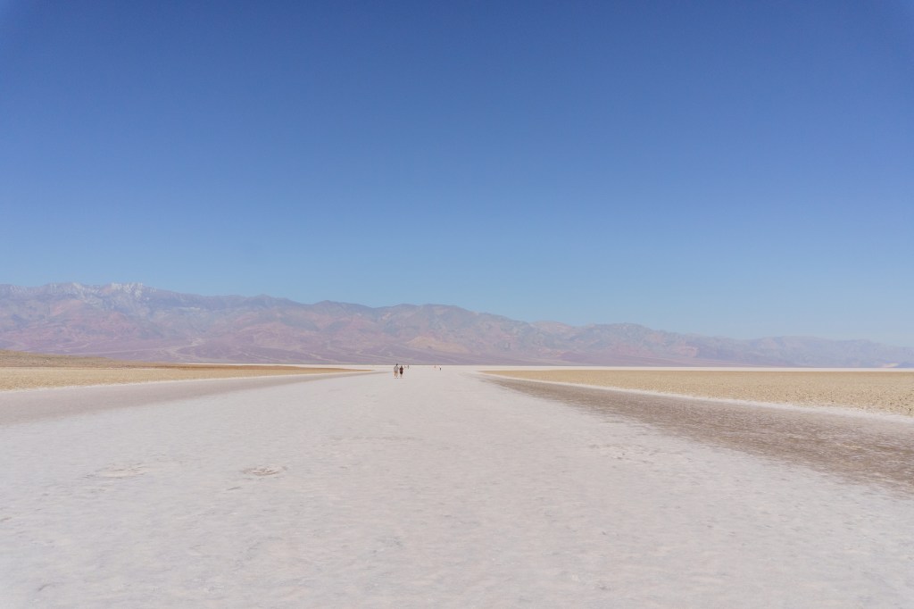
On our second full day in the park, we woke up for sunrise again, but this time we went to the Mesquite Sand Dunes to watch it. We got lucky and had such a beautiful morning there. And I was surprised that there weren’t a lot of other people there with us! After sunrise we zipped over Artists Drive, another one-way road in the park that brings you to the famous Artist Palette overlook. It was neat being able to explore and walk around through the “palette”. The colors, due to oxidation of metals in the rocks, were incredible to see, especially in the morning light before the sun washed them out. We arrived around 7:30 and the morning light was just about to crest over the ridgeline. The next stop on the list was Badwater Basin, the lowest point in North America! It’s like the Bonneville Salt Flats in Utah, only these are below sea level. If you look at the cliffs behind the parking lot, you’ll see a sign indicating where “sea level” is, which I thought was a great visual.
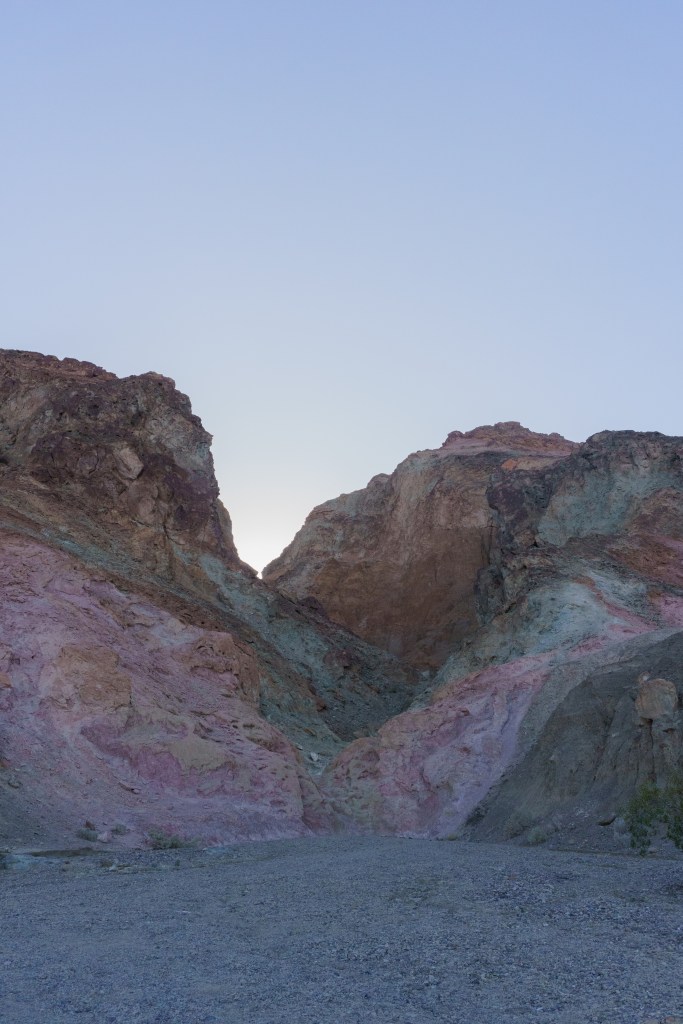
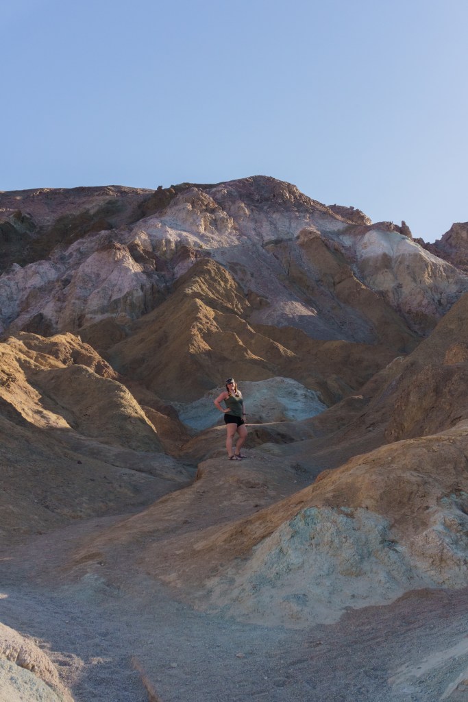
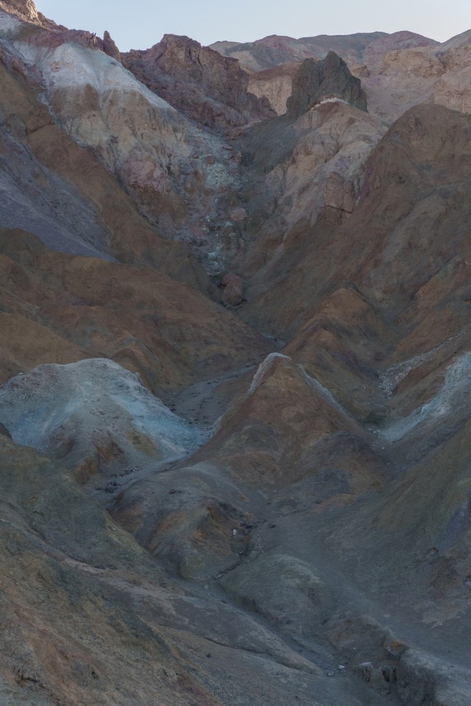
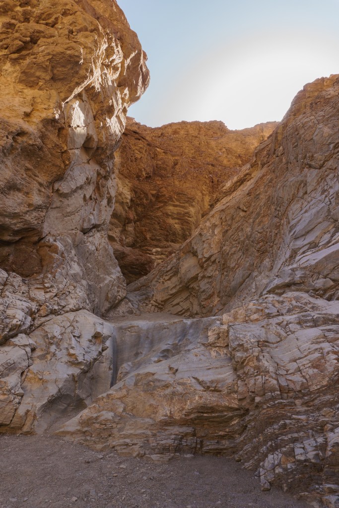
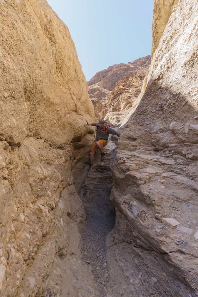
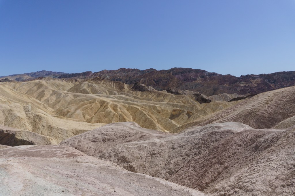
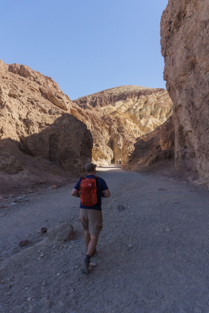
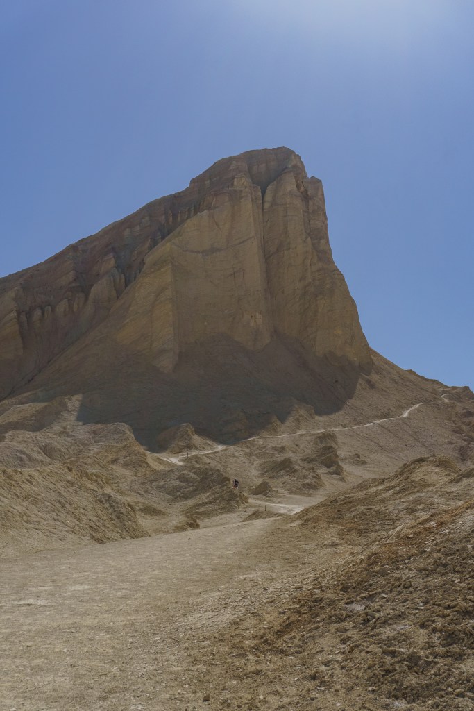
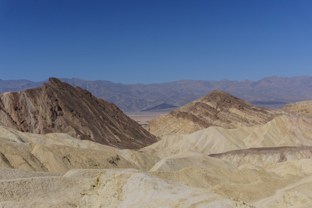
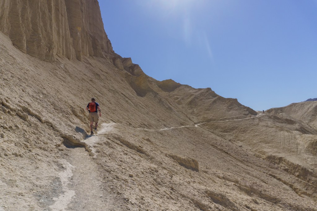
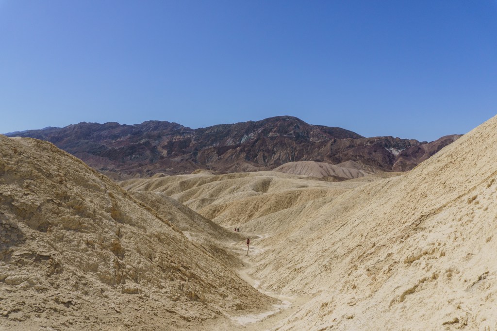
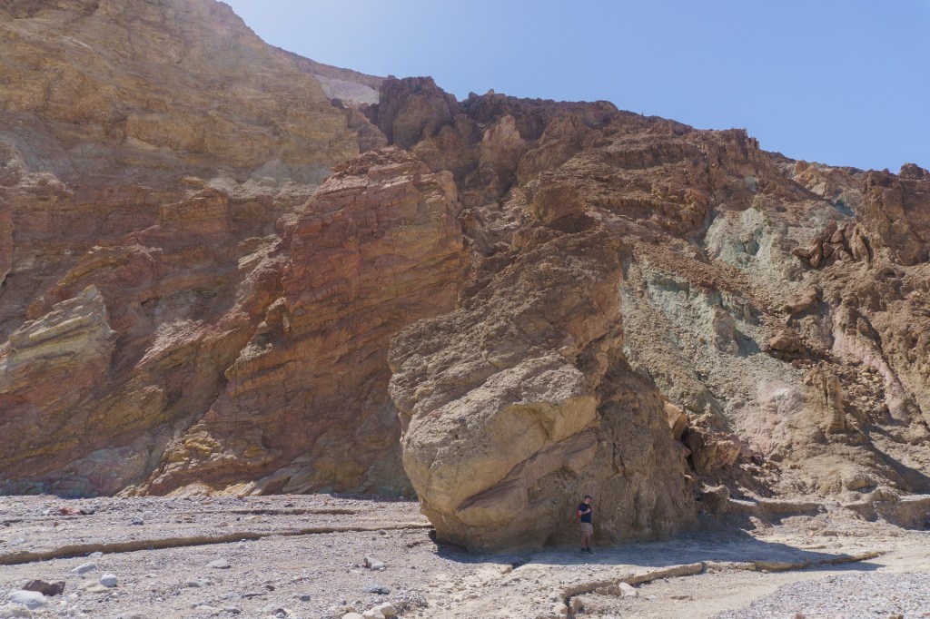
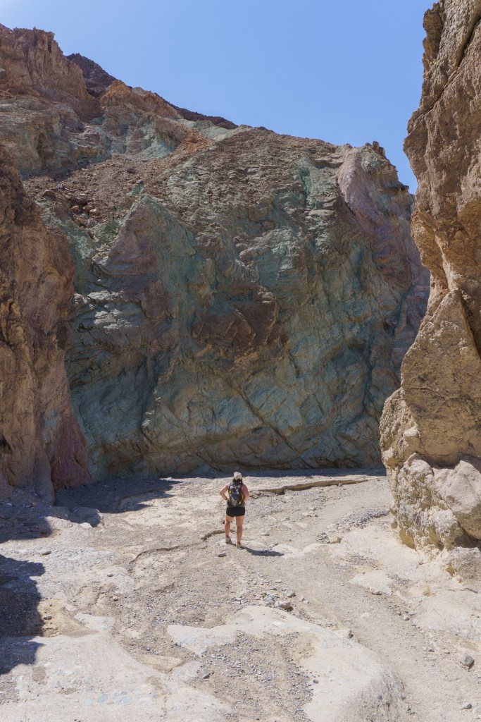
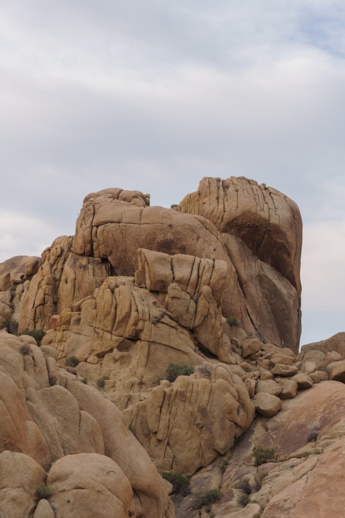
After checking out the flats, we hurried over to the trailhead for Golden Canyon, our hike for the day. The lot is a decent size, but it filled up fast. You can do a few hikes from this trailhead, but we did the Golden Canyon to Gower Gulch Loop. As I’ve previously mentioned, start early, because the sun is unforgiving. We started later than we had hoped so every time we came across any shaded spots, we’d take a quick rest and water break to get out of the sun. We went clockwise so we could get the elevation out of the way sooner, then the descent would be gradual for the remainder of the hike. The landscape is unreal. I loved seeing all the different colored rocks and formations throughout the hike. Once we started the descent we started to get a little bit of a breeze, which helped with the heat, but overall, it was manageable. The gulch portion of the trail is pretty rocky, so you need to watch your footing. There is a little scrambling near the end but nothing too extreme.
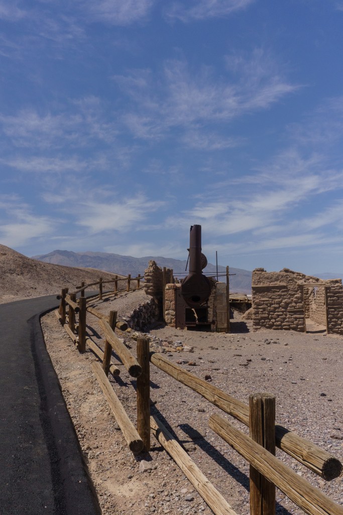
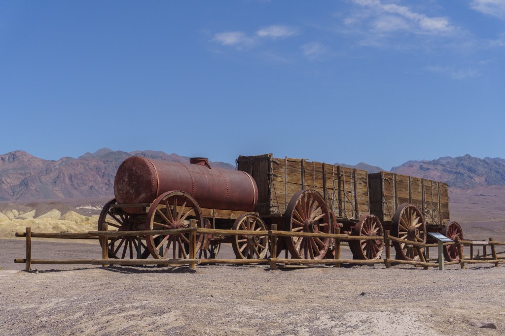
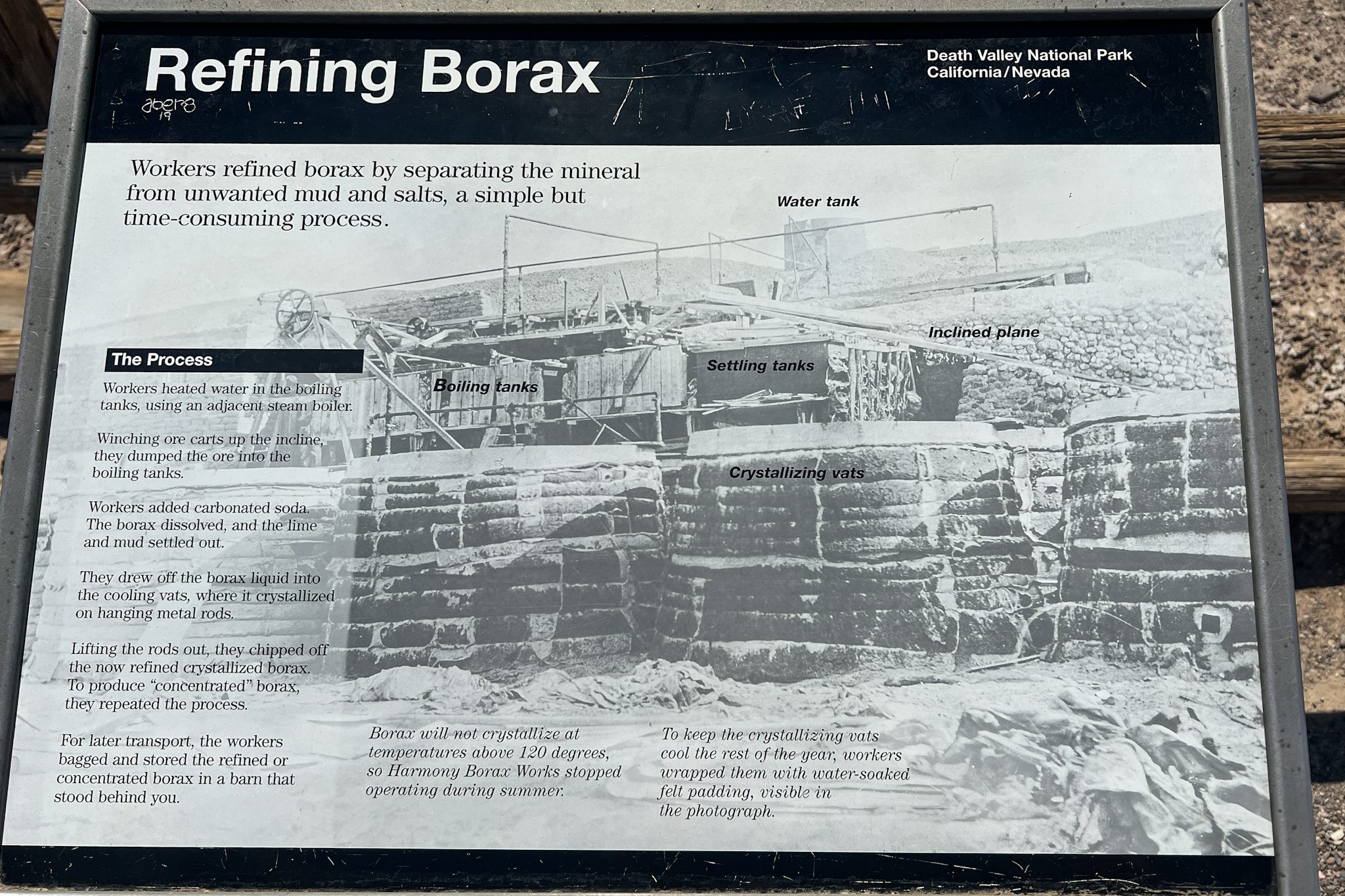
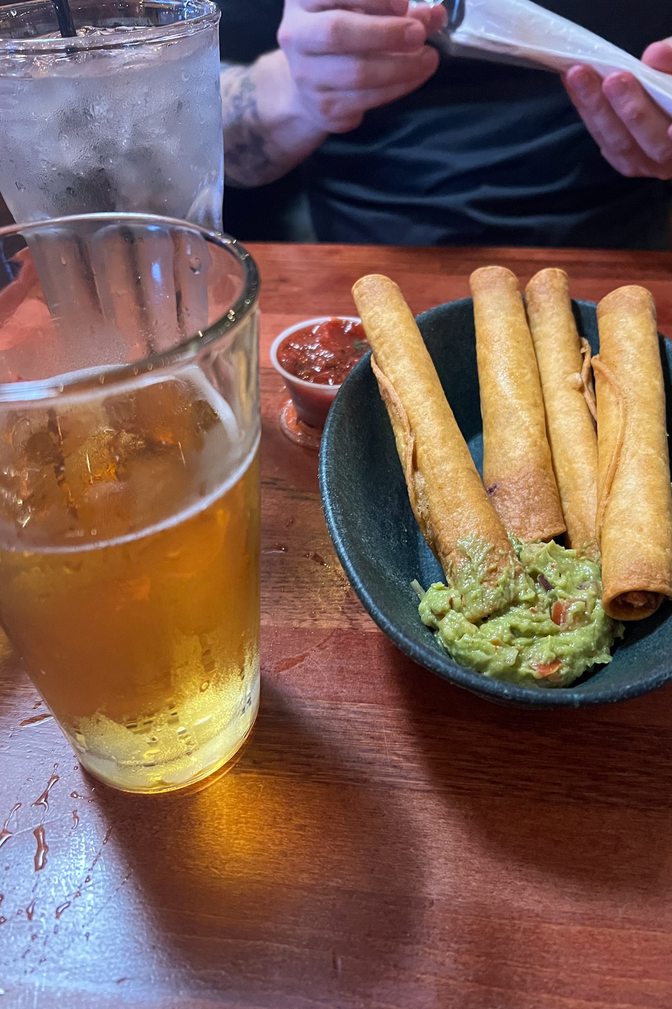
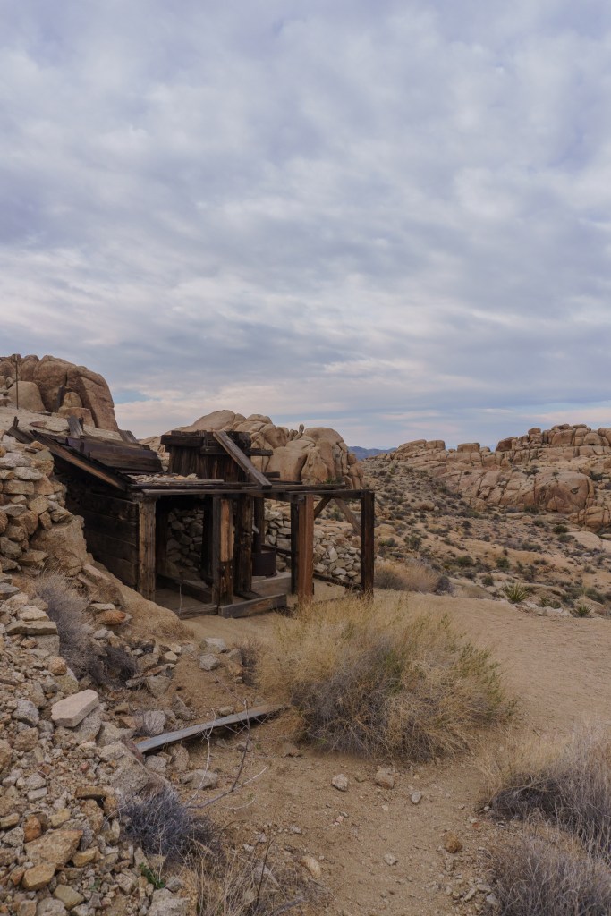
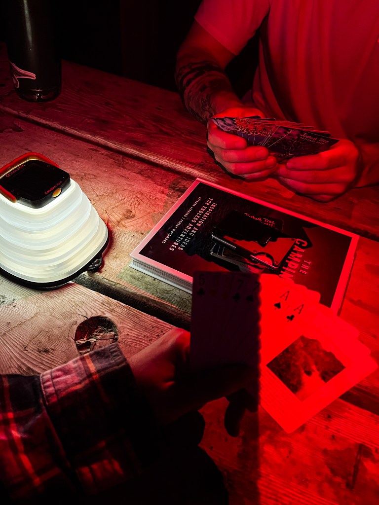
After finishing the hike, we went back to the visitor center to have lunch under the shade structures again. Then we did a quick quarter mile hike at Harmony Borax Works. It’s a fully accessible trail around old mining equipment, which I thought was interesting to see. There were some great views here too. It was a quick pit stop, but I’d recommend it if you are interested in history. Afterwards, we went back to camp to get out of the sun. We had some beers at the campground restaurant, but mostly laid low and played cards in the shade. Overall, it was a great trip to Death Valley and I was so impressed with the vast and unique park.
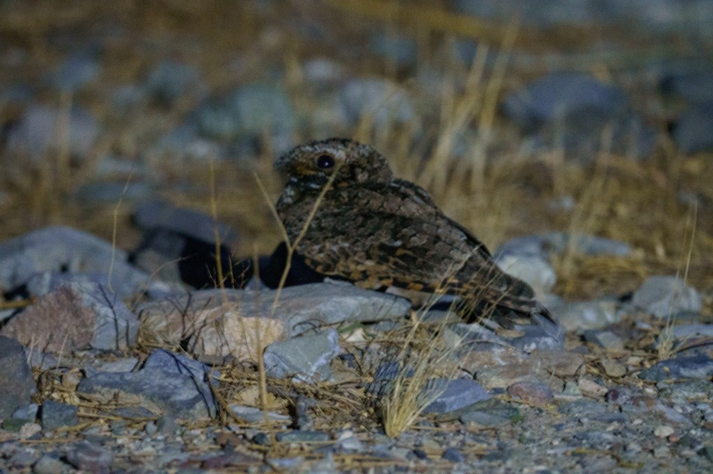
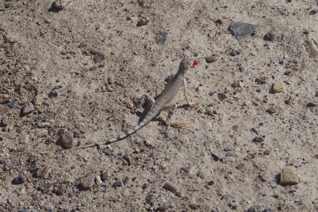
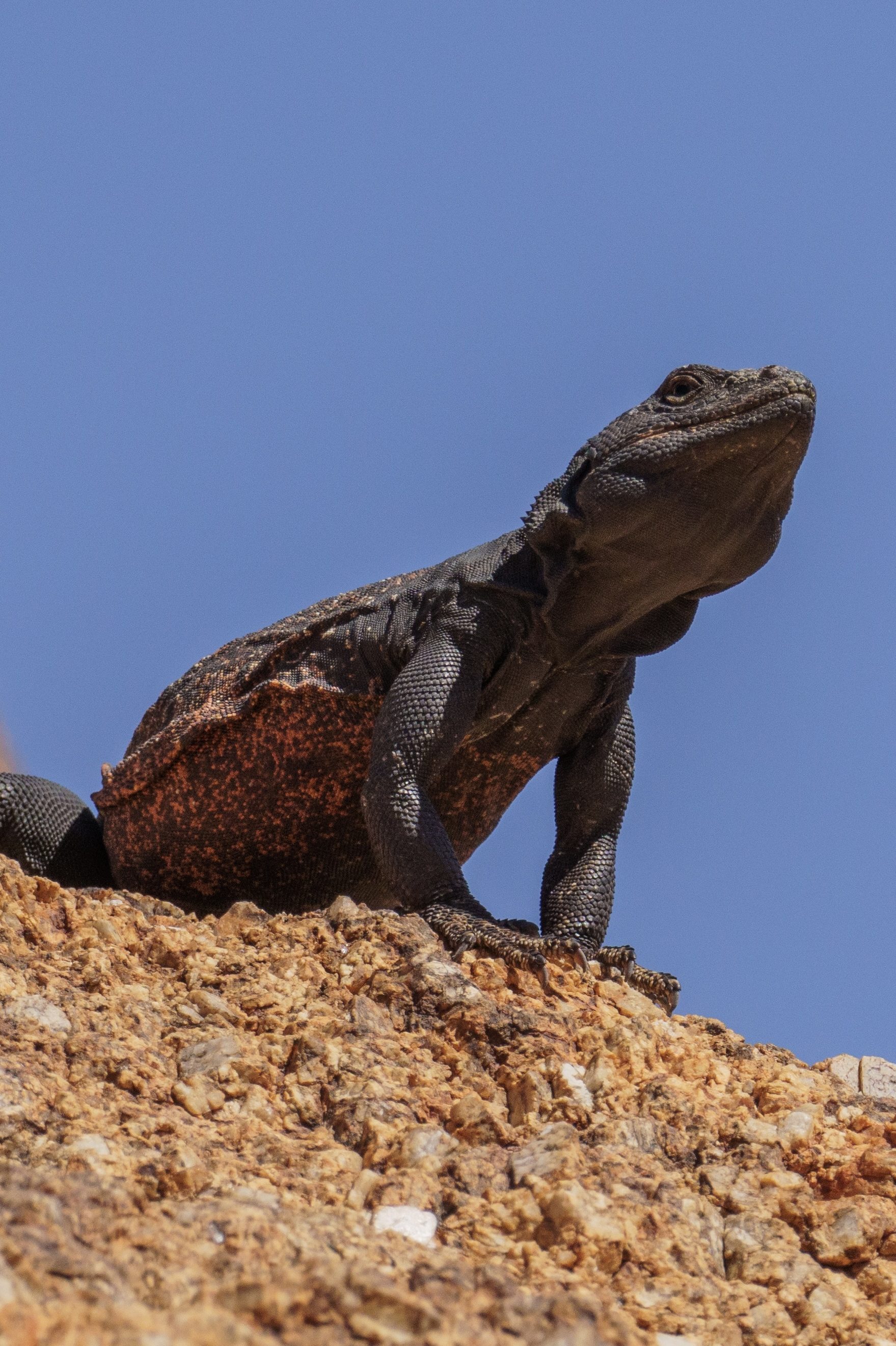
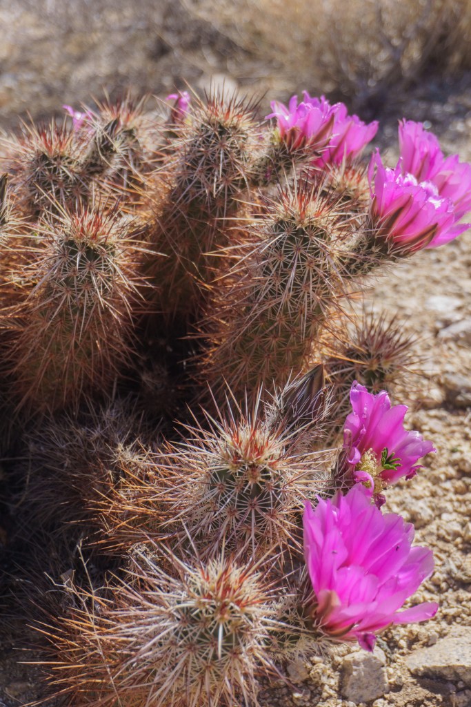
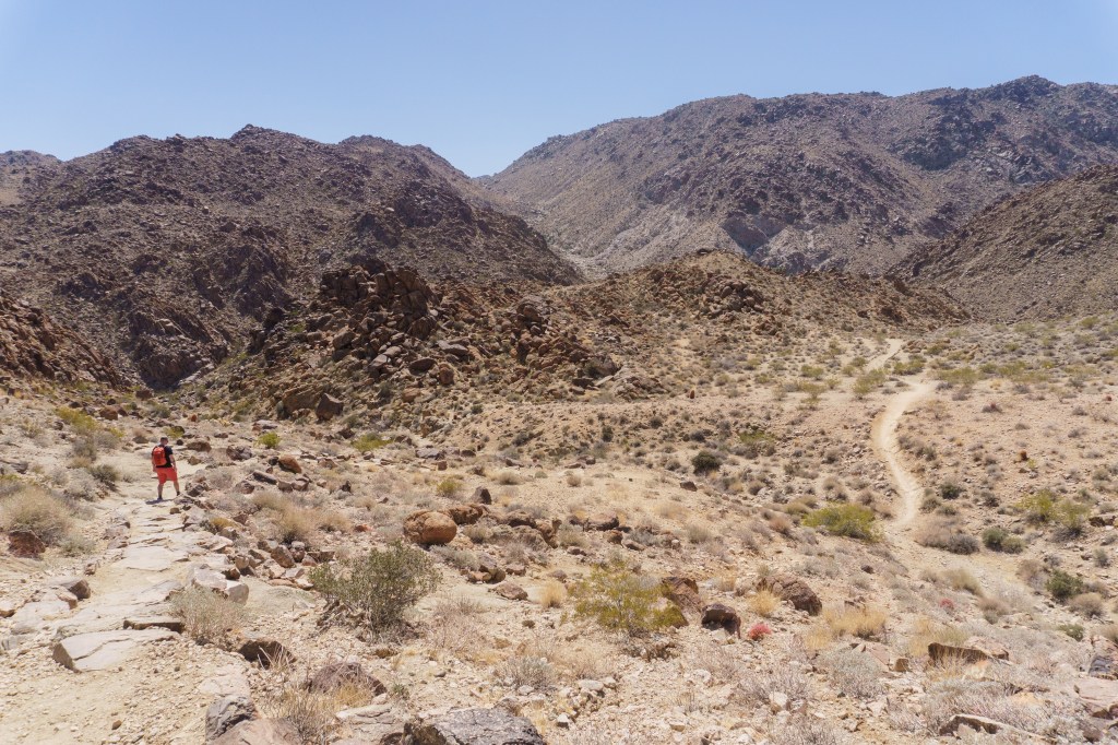
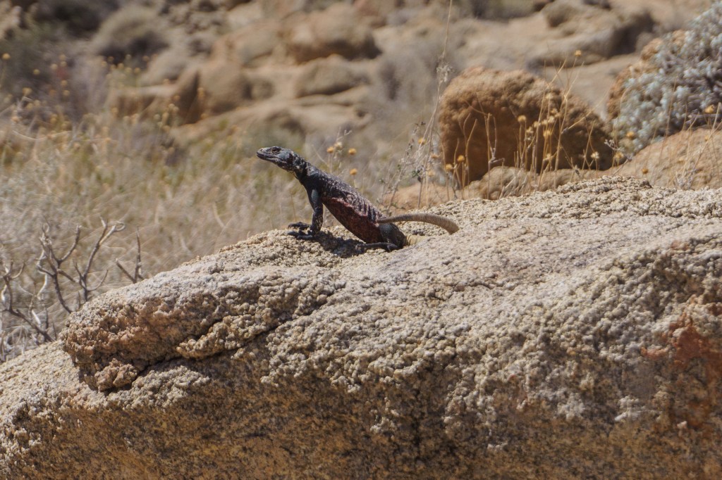
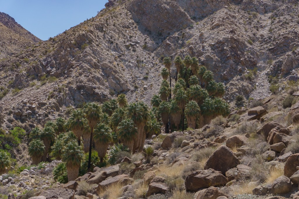
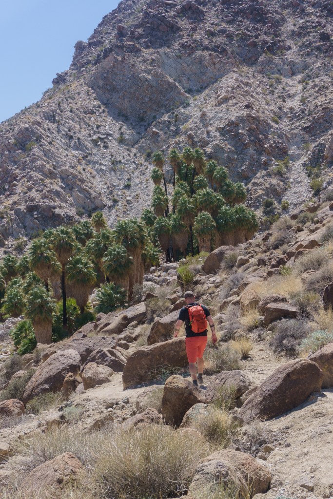
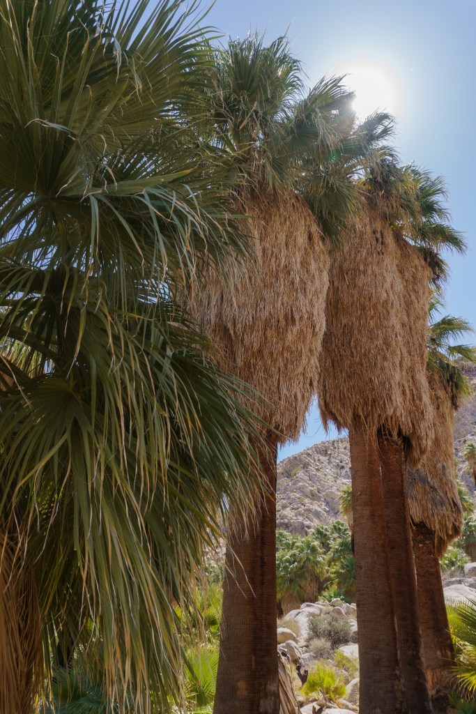
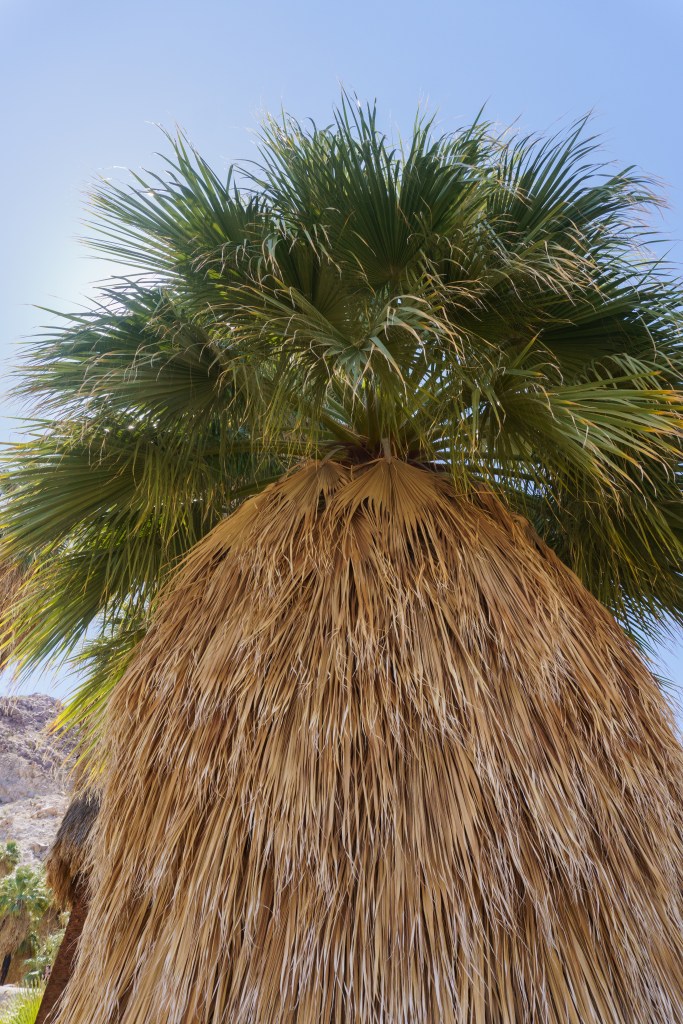
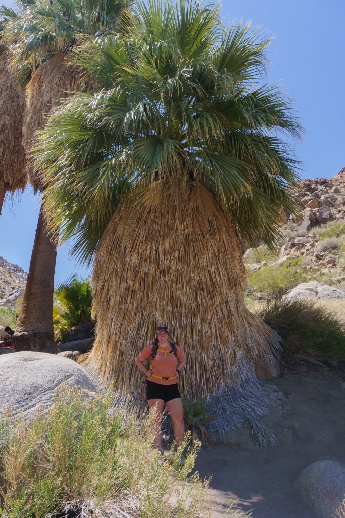
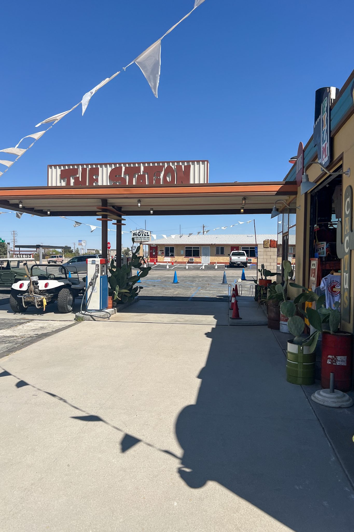
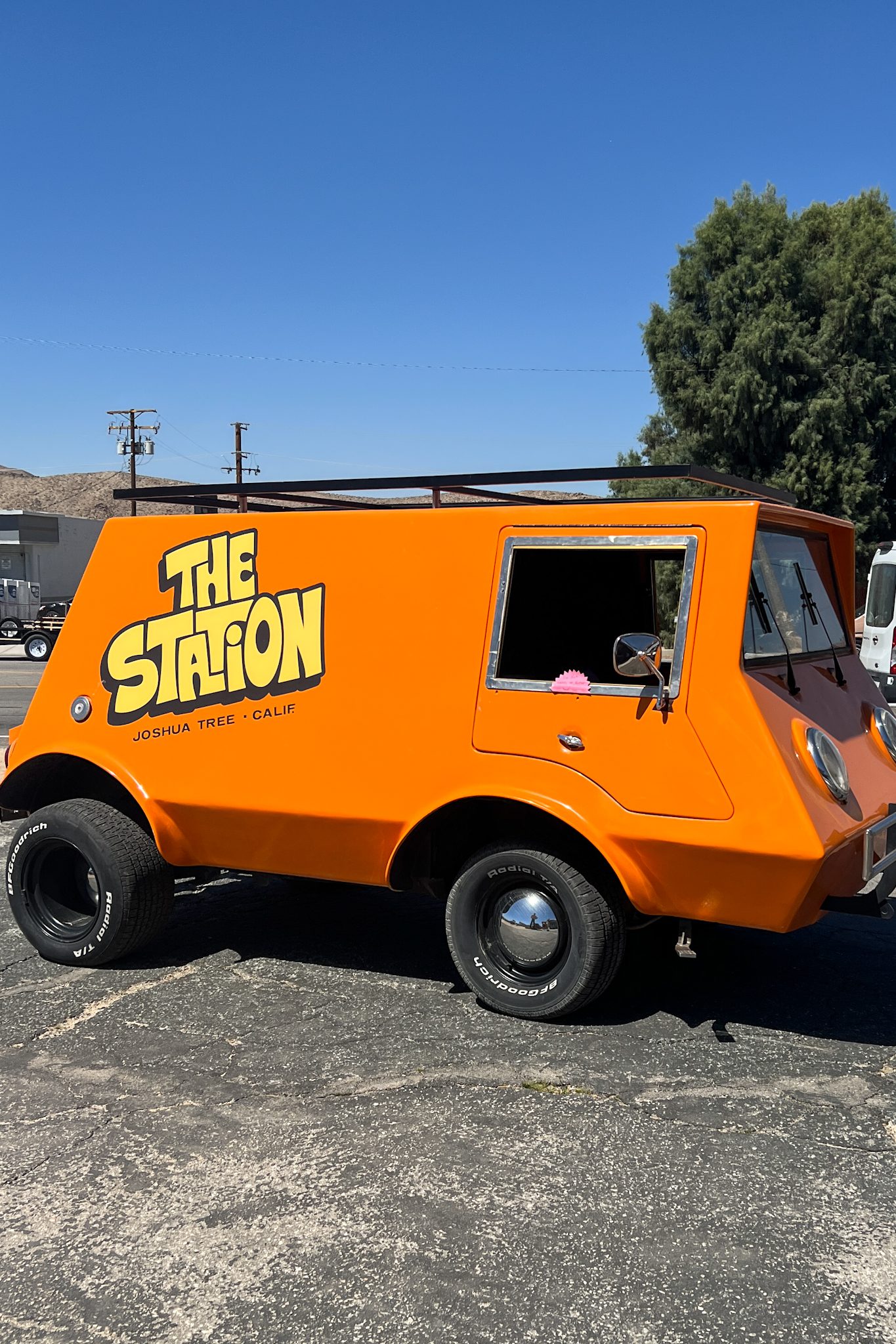
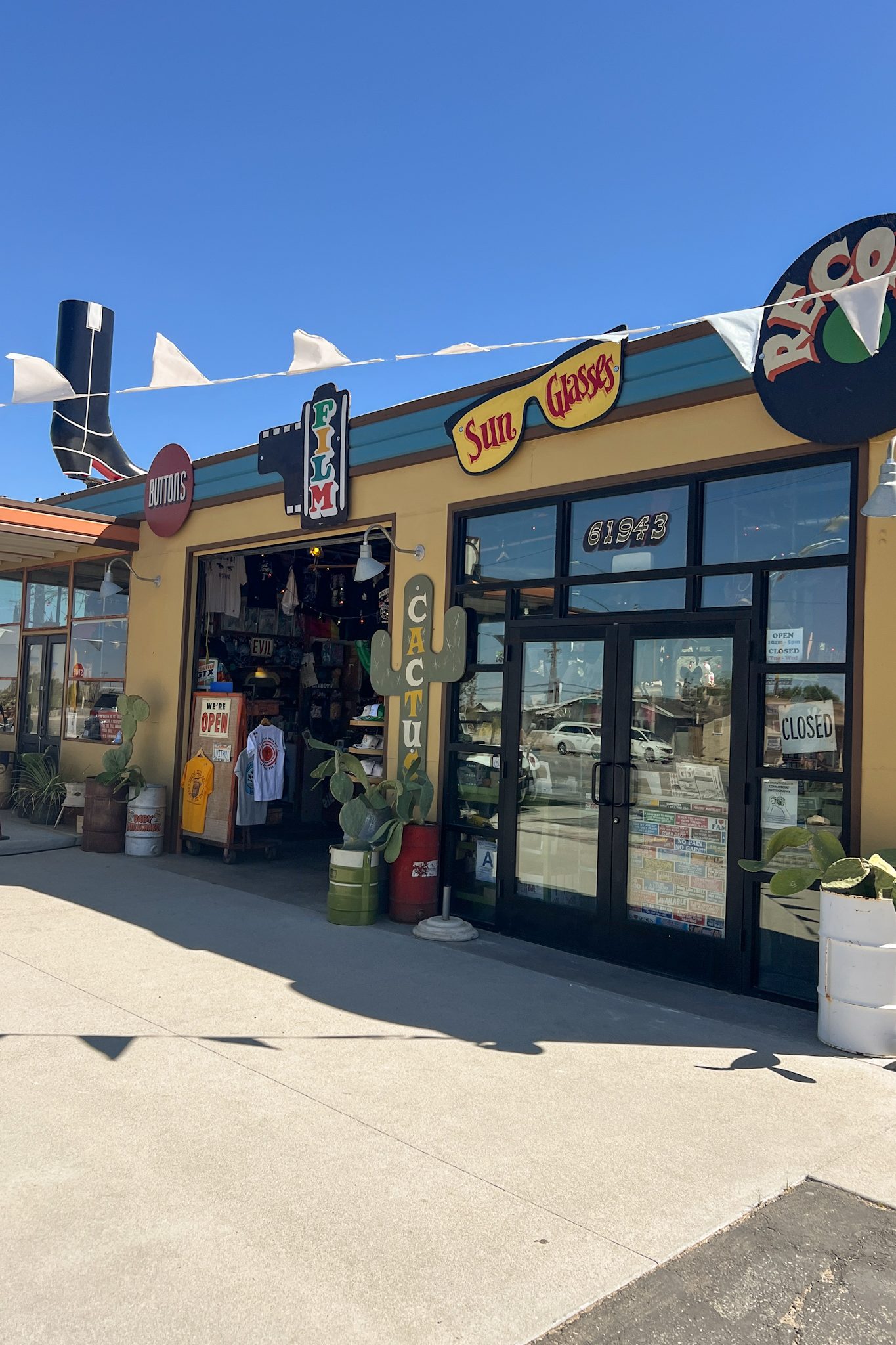
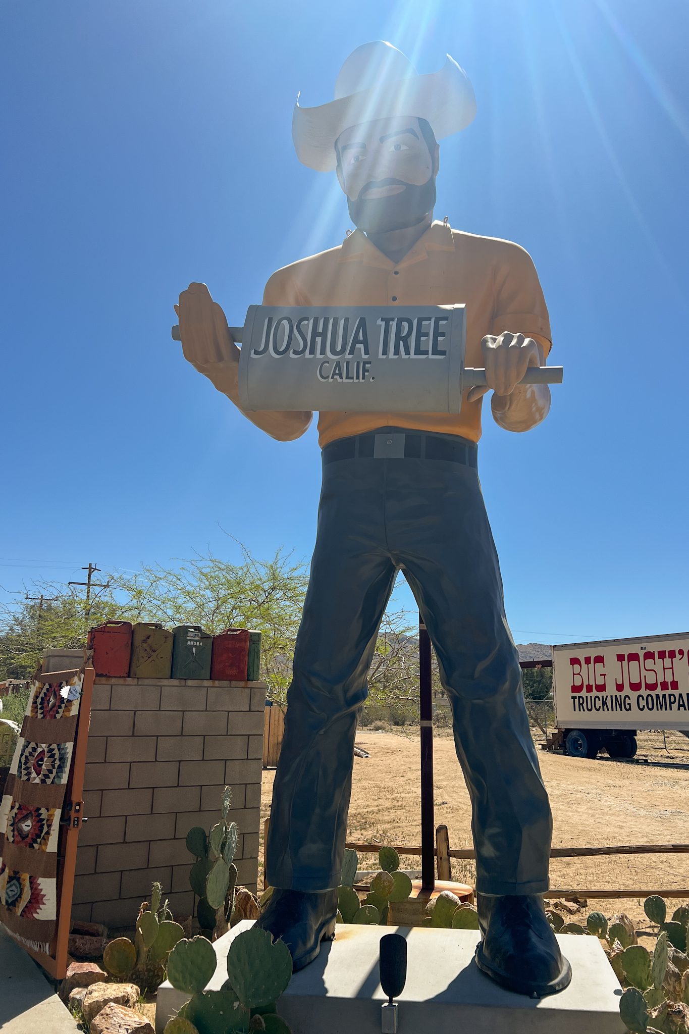
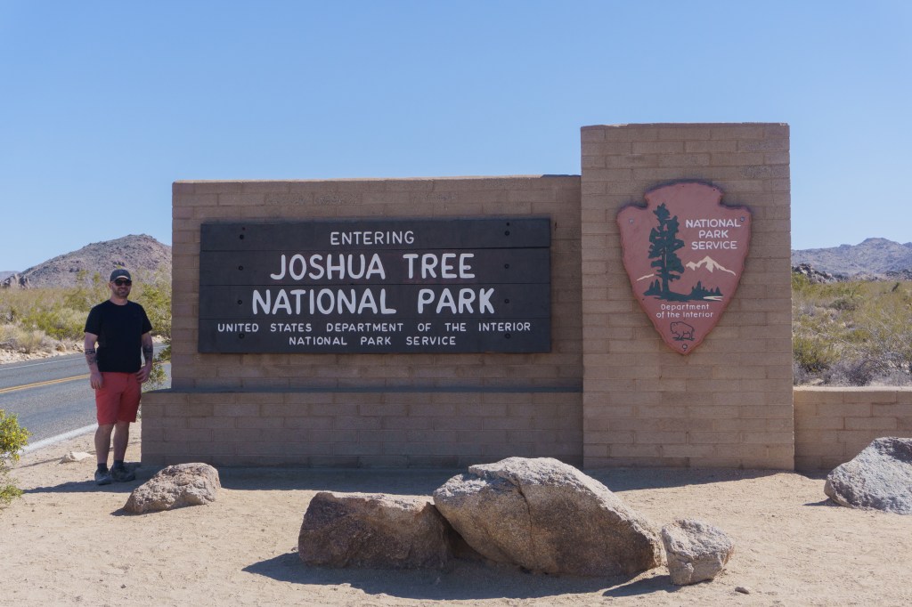
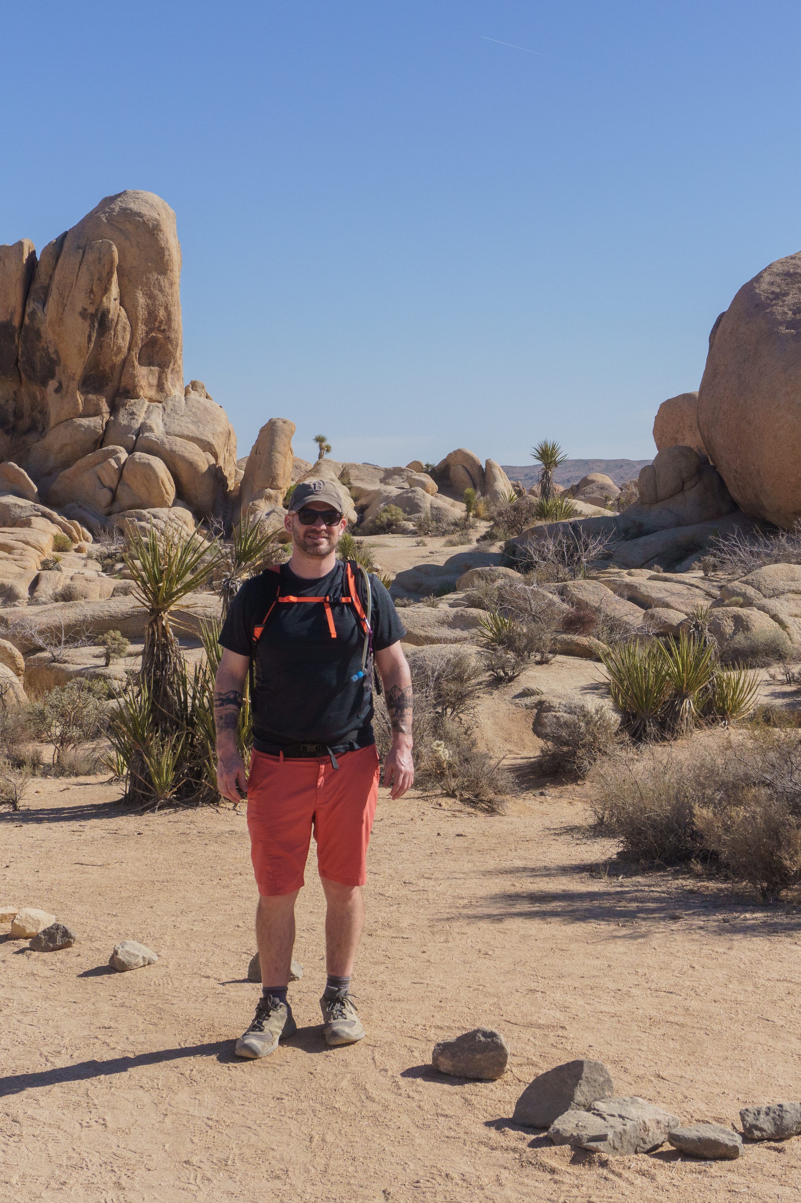
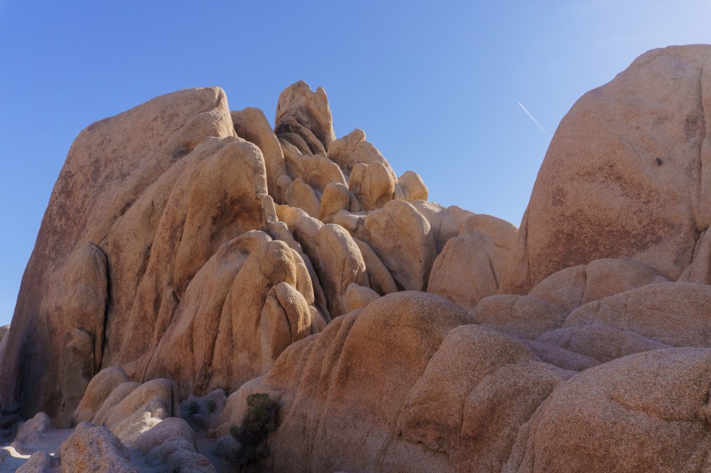
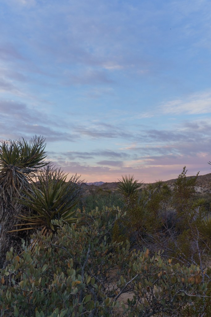
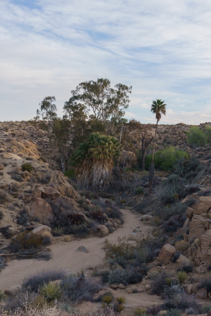
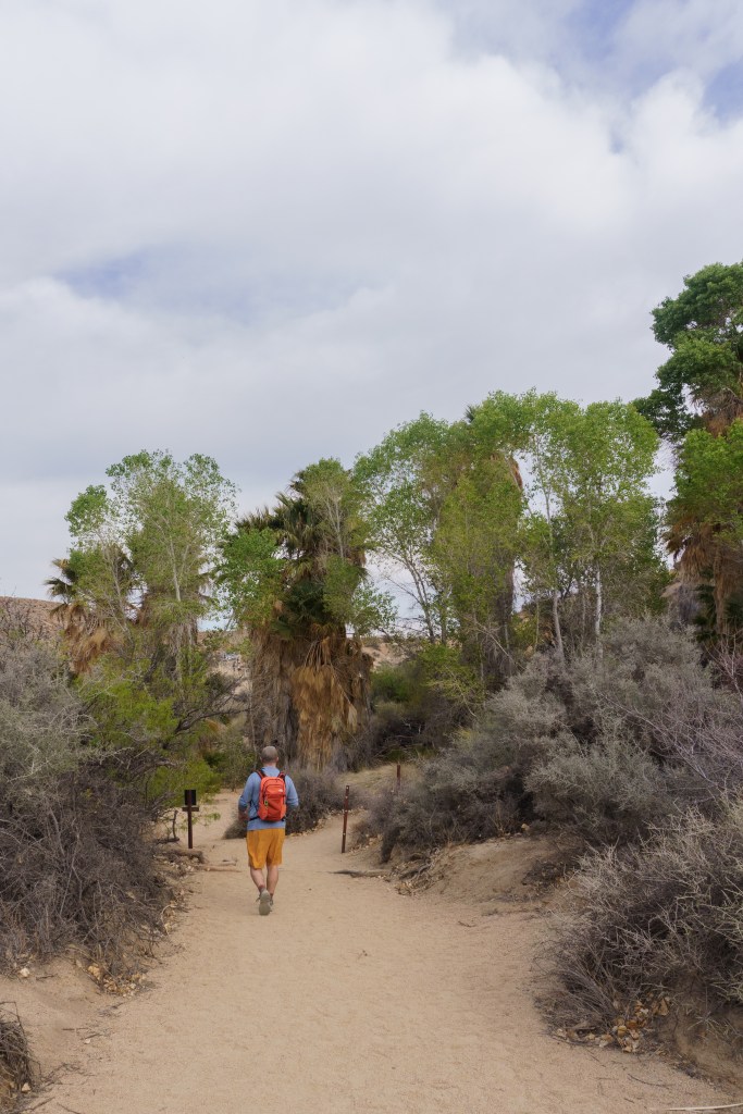
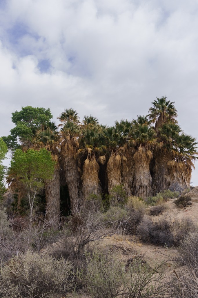
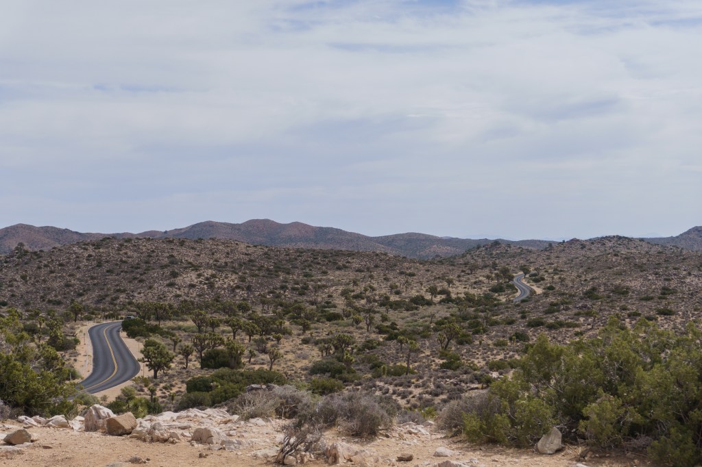
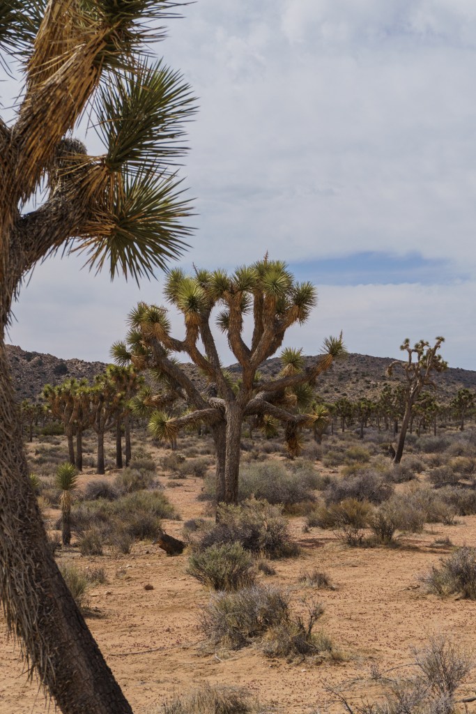
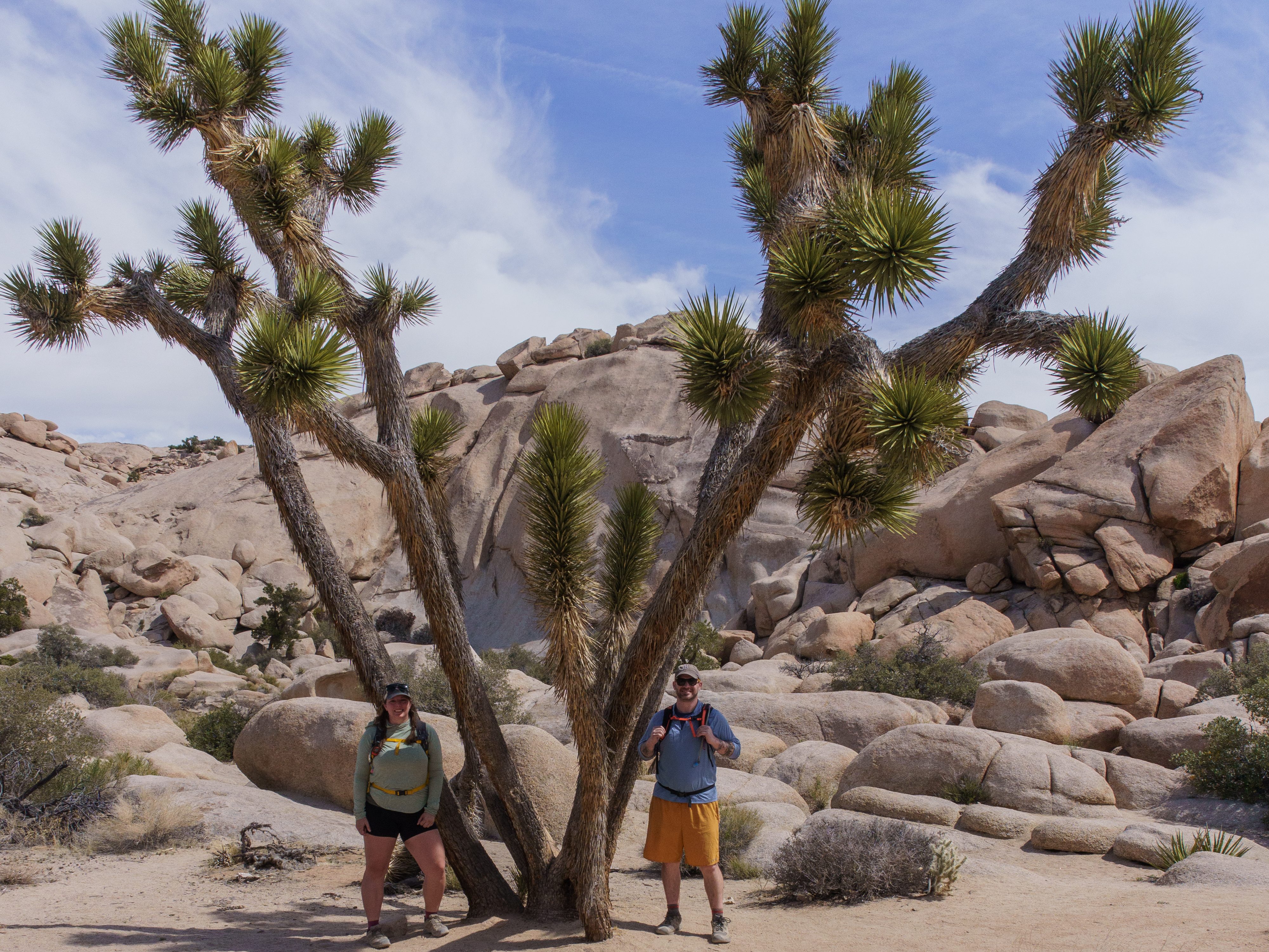
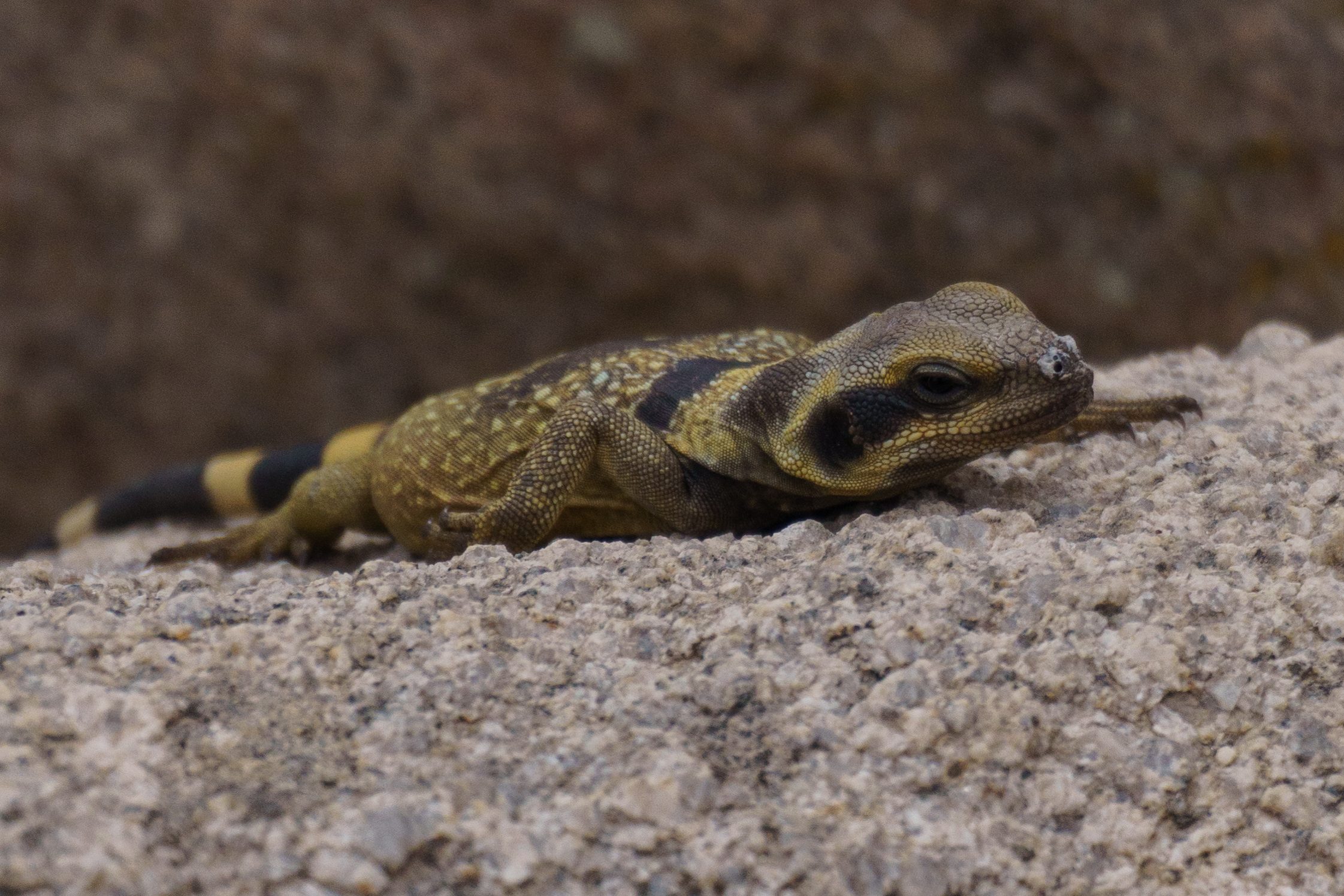
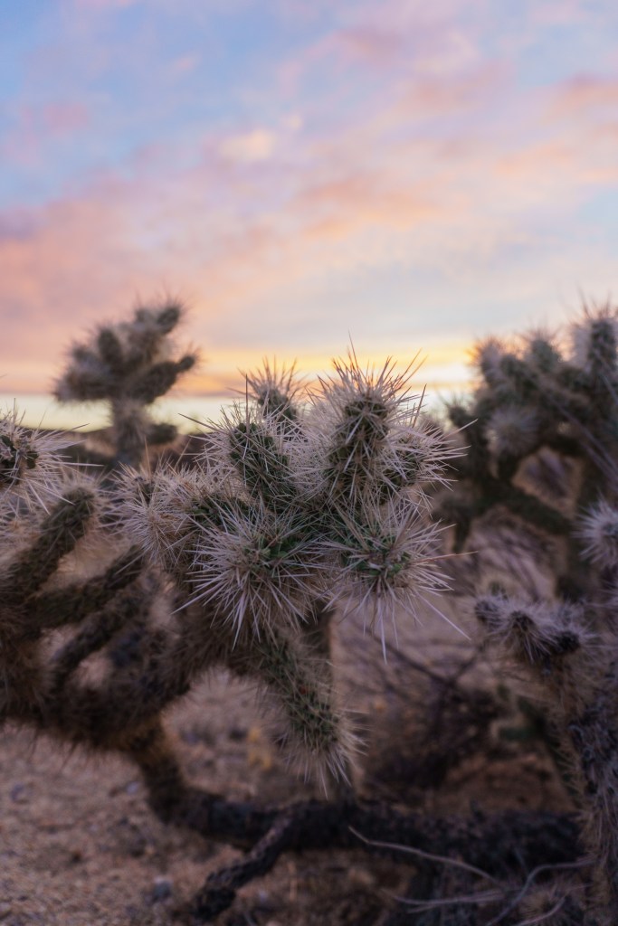
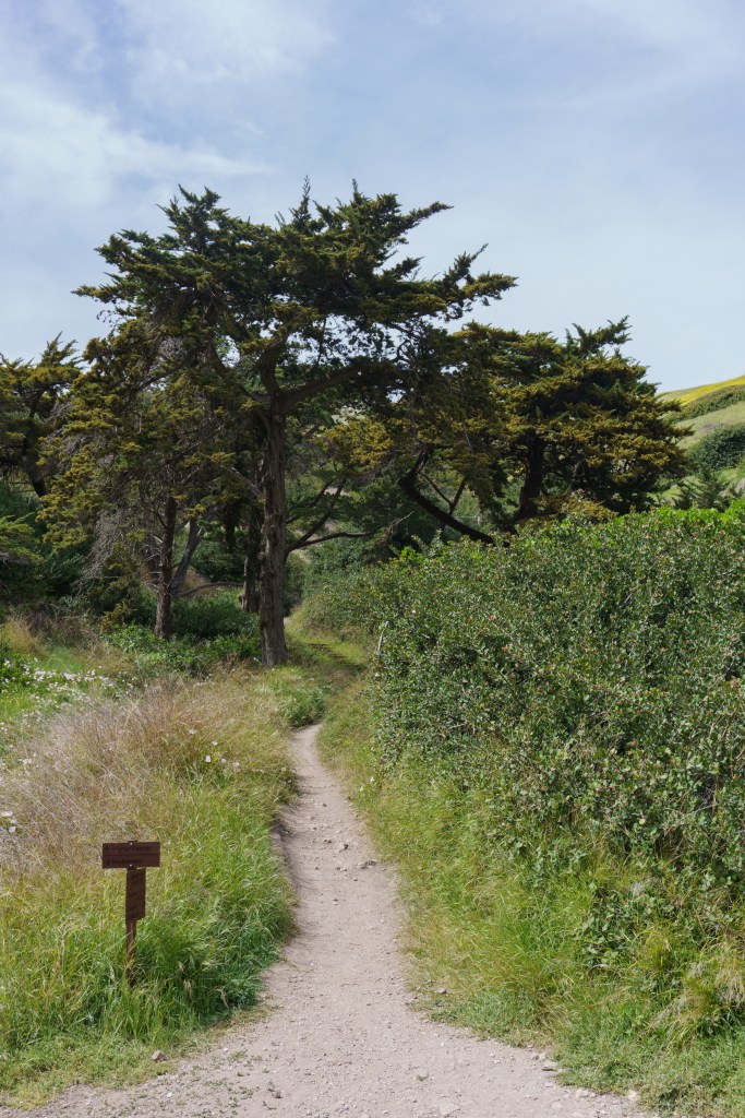
We left Death Valley early the next morning, again, getting up before sunrise to start our drive. We were headed to the next park on our list – Joshua Tree National Park! We drove directly to the trailhead of the first hike we planned to do, which was on the outskirts of the park and didn’t require passing through the park’s toll. The hike was called Fortynine Palms. It was a rocky, full exposed hike through the desert to an oasis of palm trees. We didn’t really know what to expect and it was cool to look up and see palm trees in the distance while being surrounded by rocks and cactus. The hike itself wasn’t too strenuous but being in the sun the whole time made it harder. This hike was awesome, not only because of the oasis, but because we saw SO many chuckwallas, at least 20, if not more. After the hike, we grabbed a beer and some food in Joshua Tree (the town) at Joshua Tree Saloon Bar and Grill. After we ate, we went to The Station, a weird little gift shop in town. We didn’t buy anything, but I was intrigued to visit it because it looked so quirky.
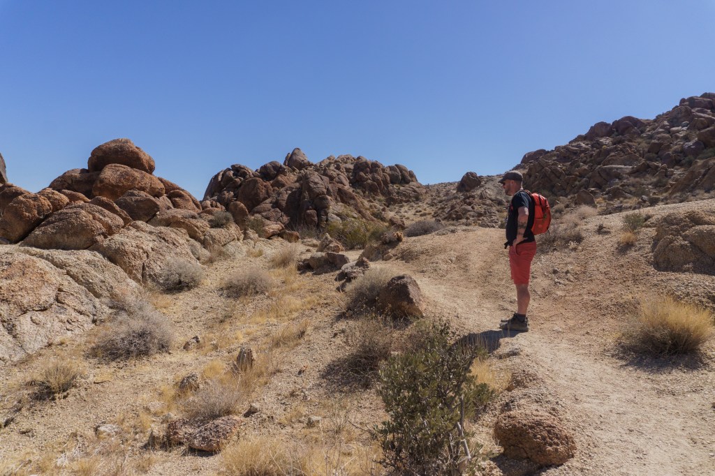
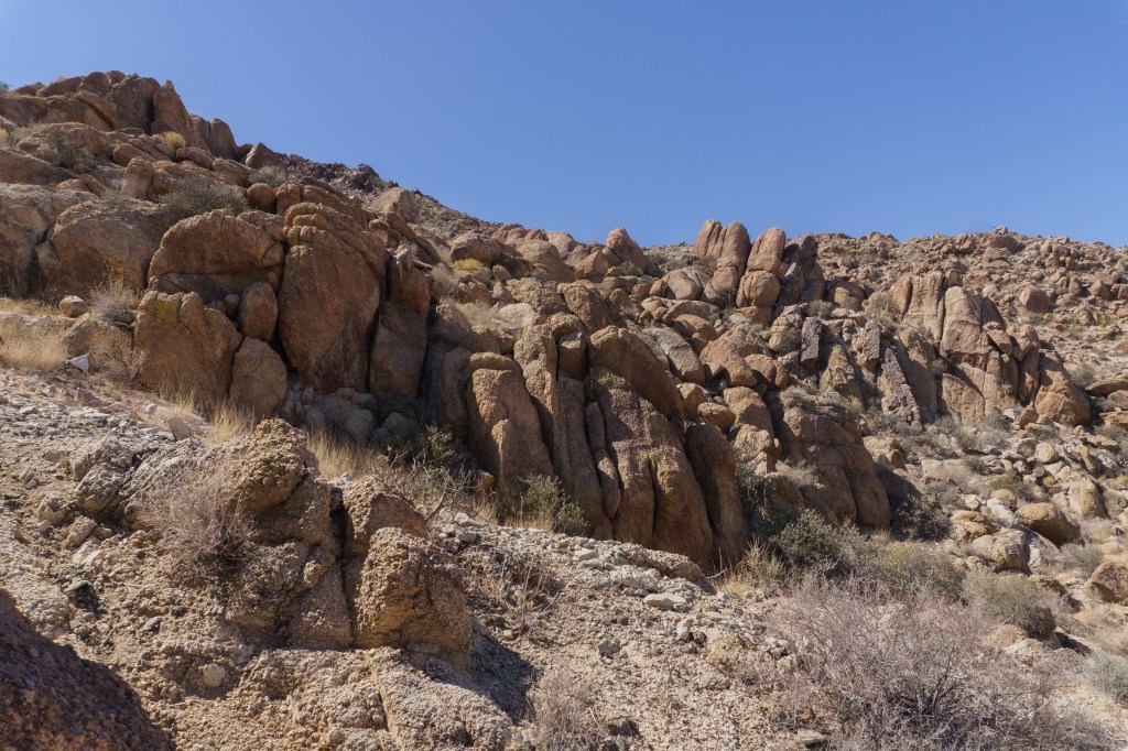
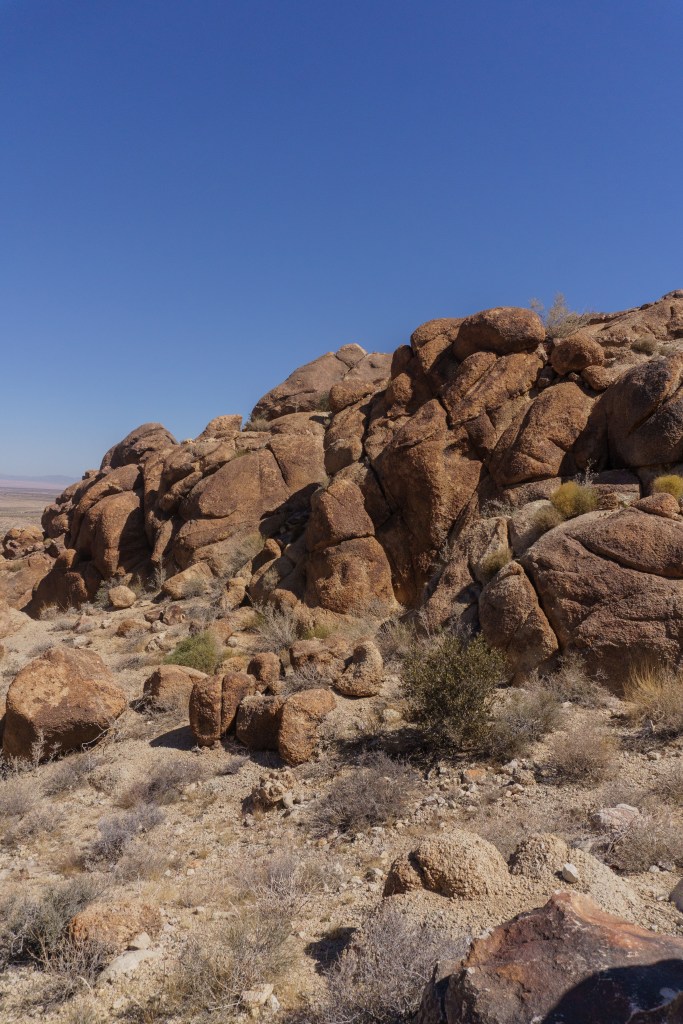
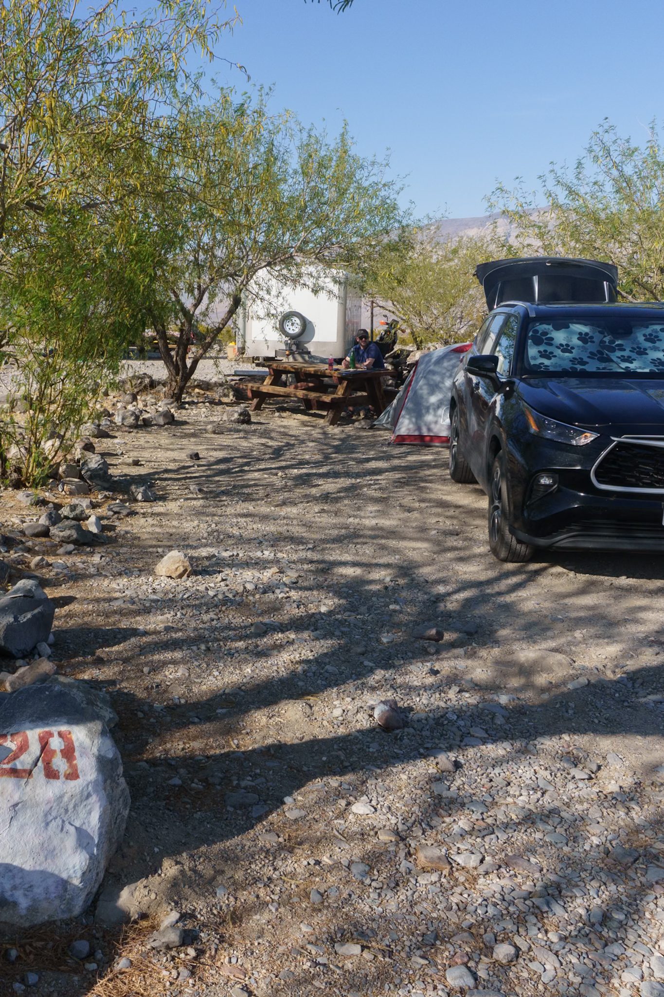
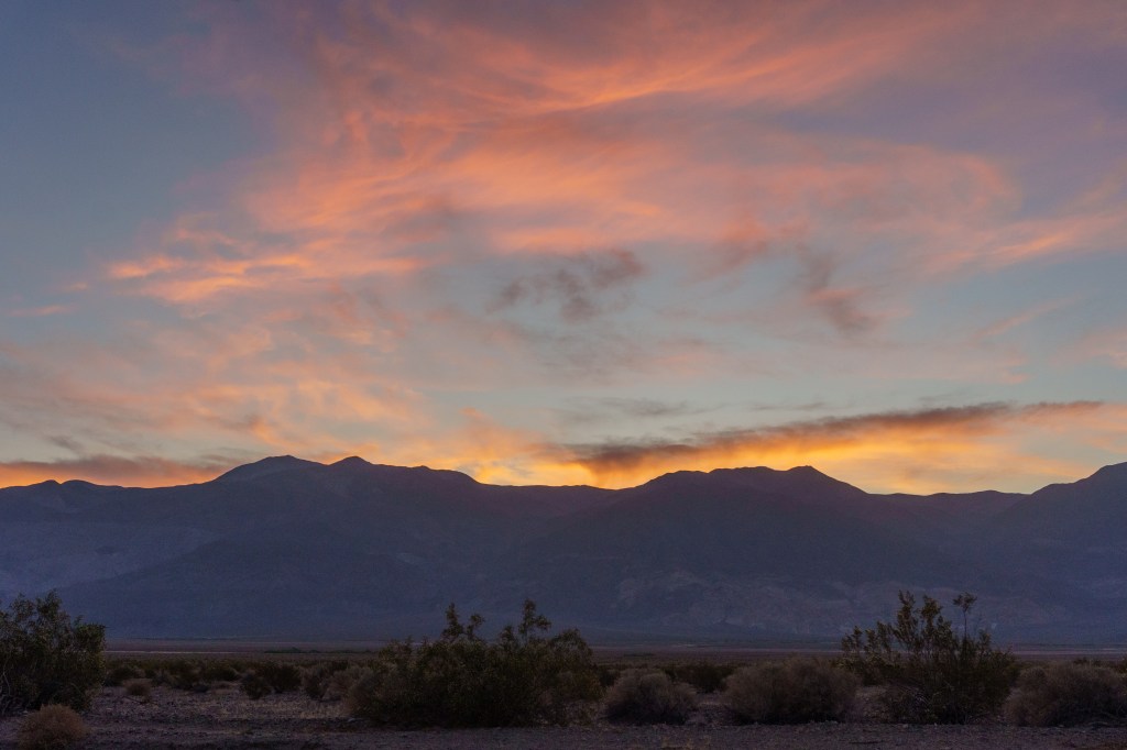
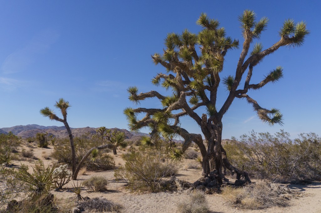
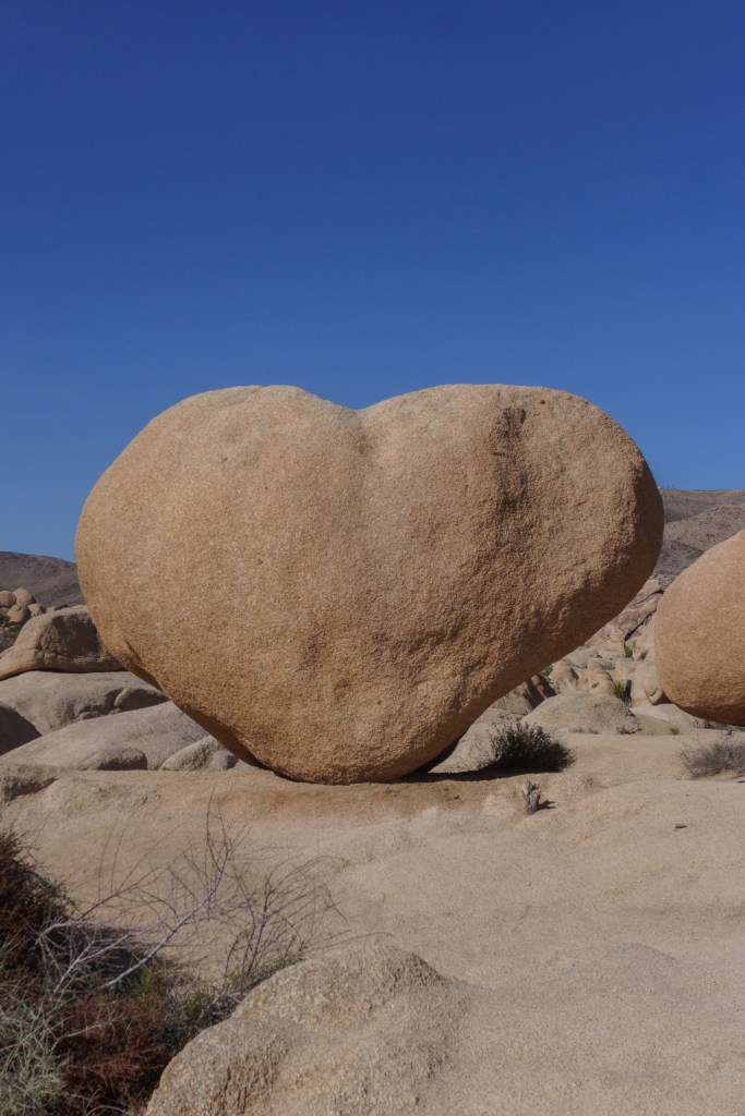
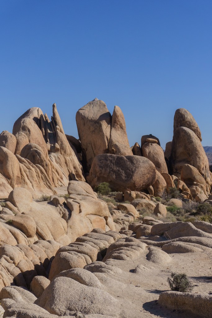
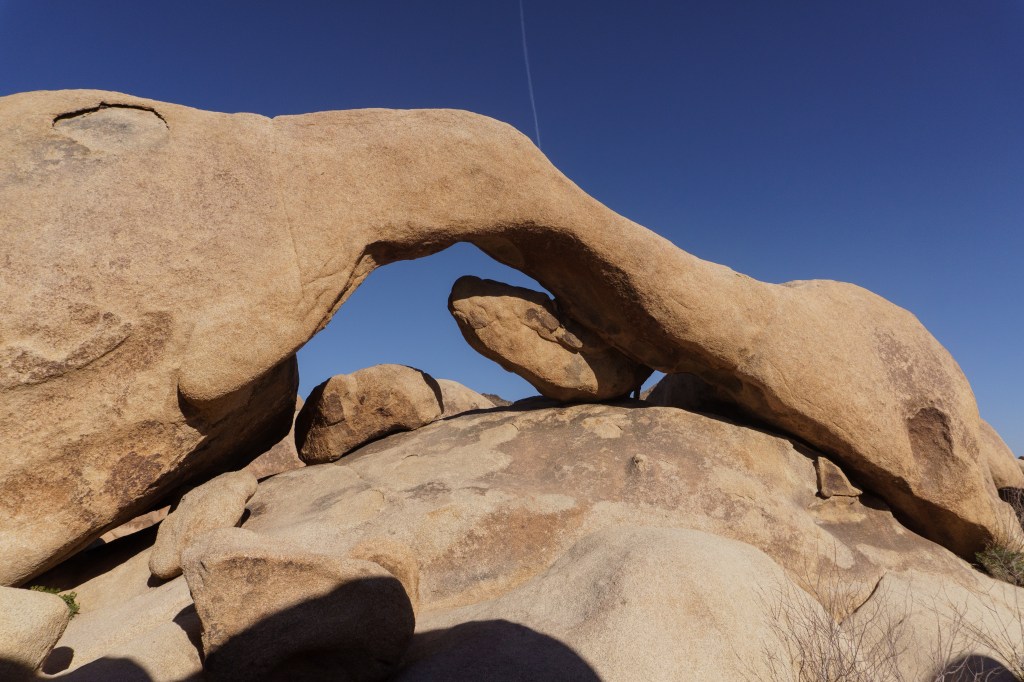
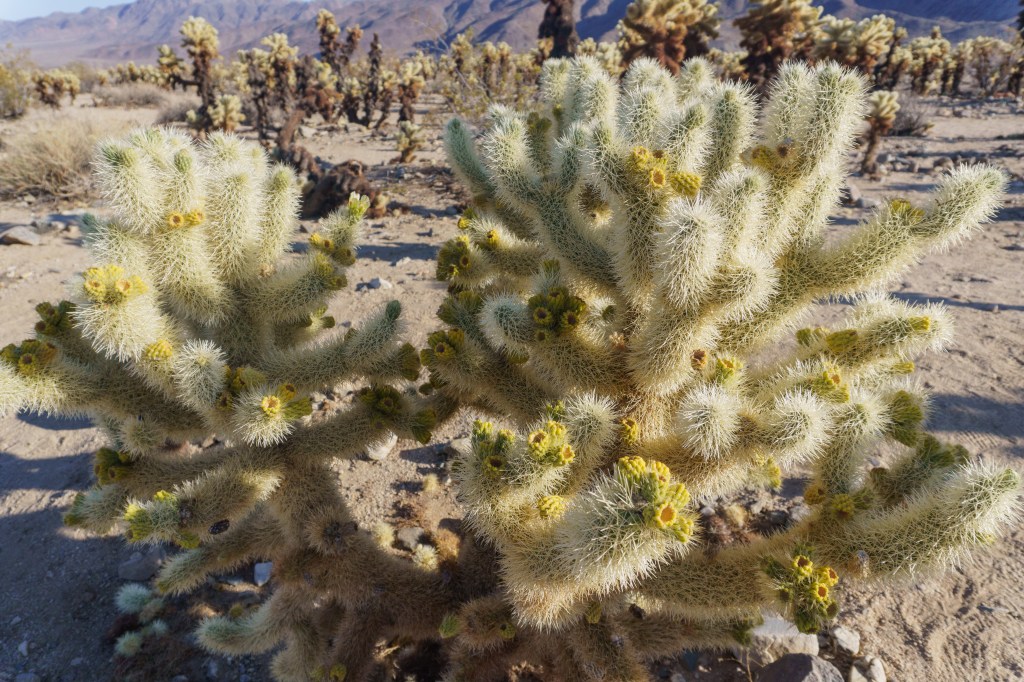
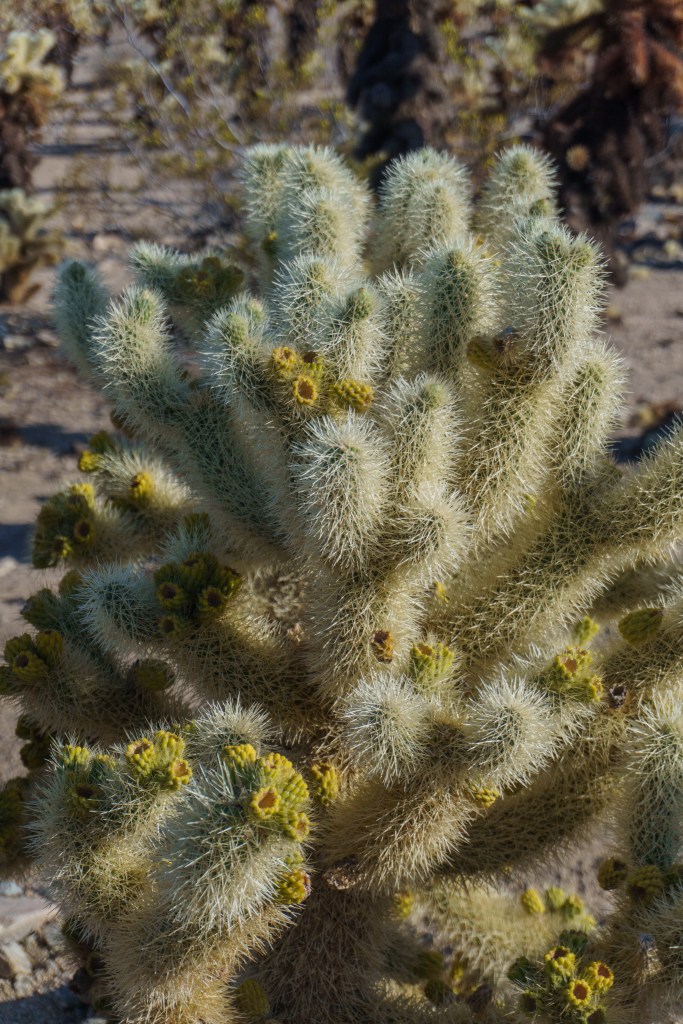
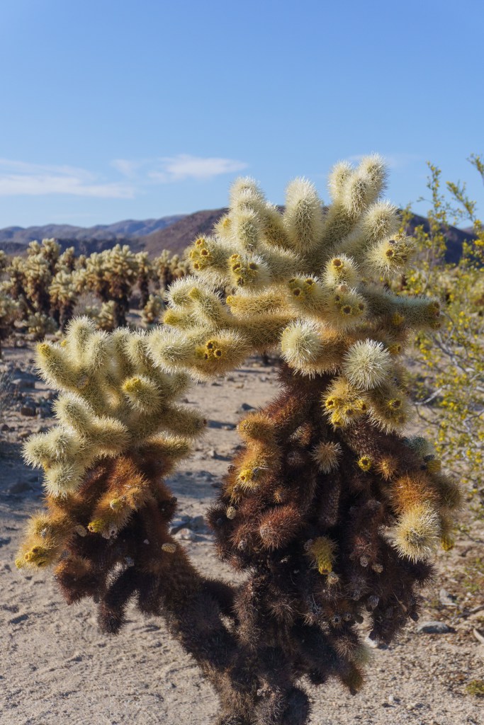
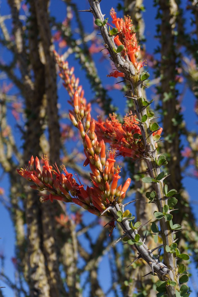
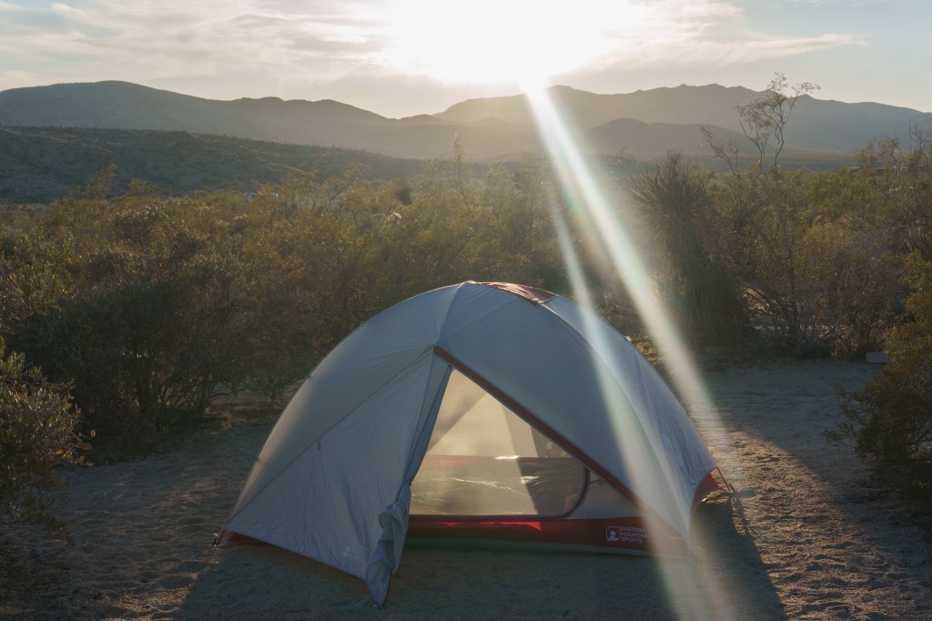
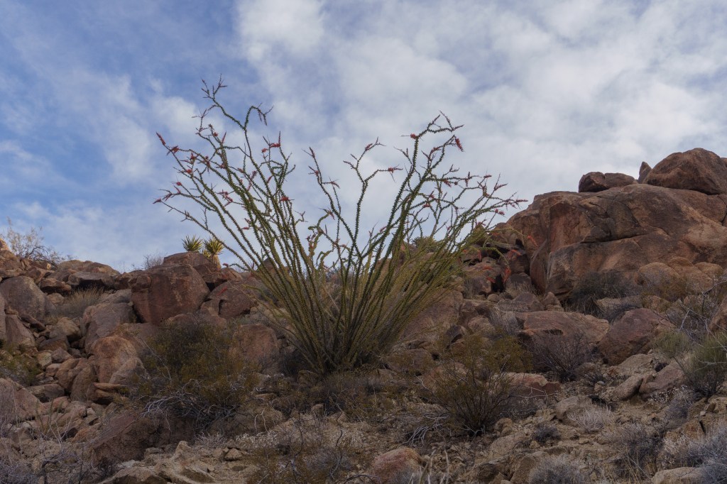
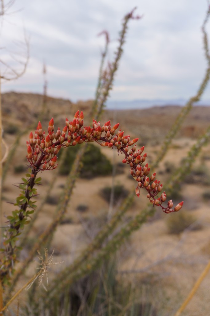
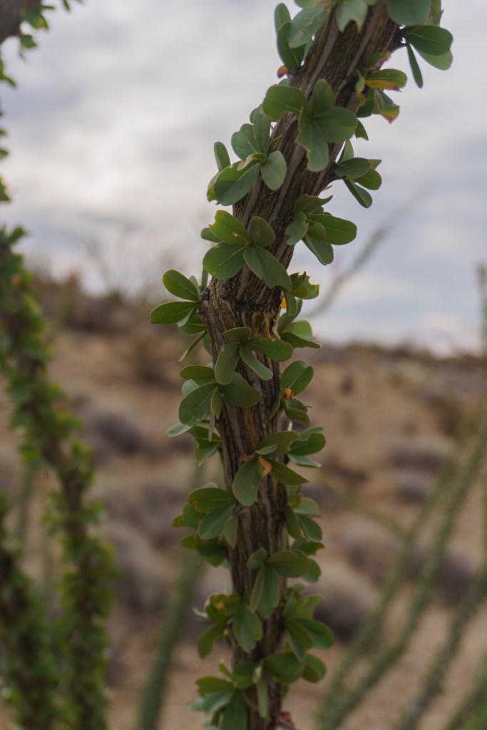
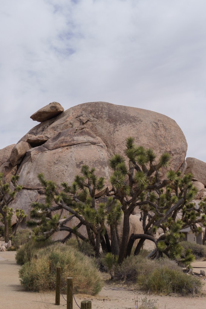
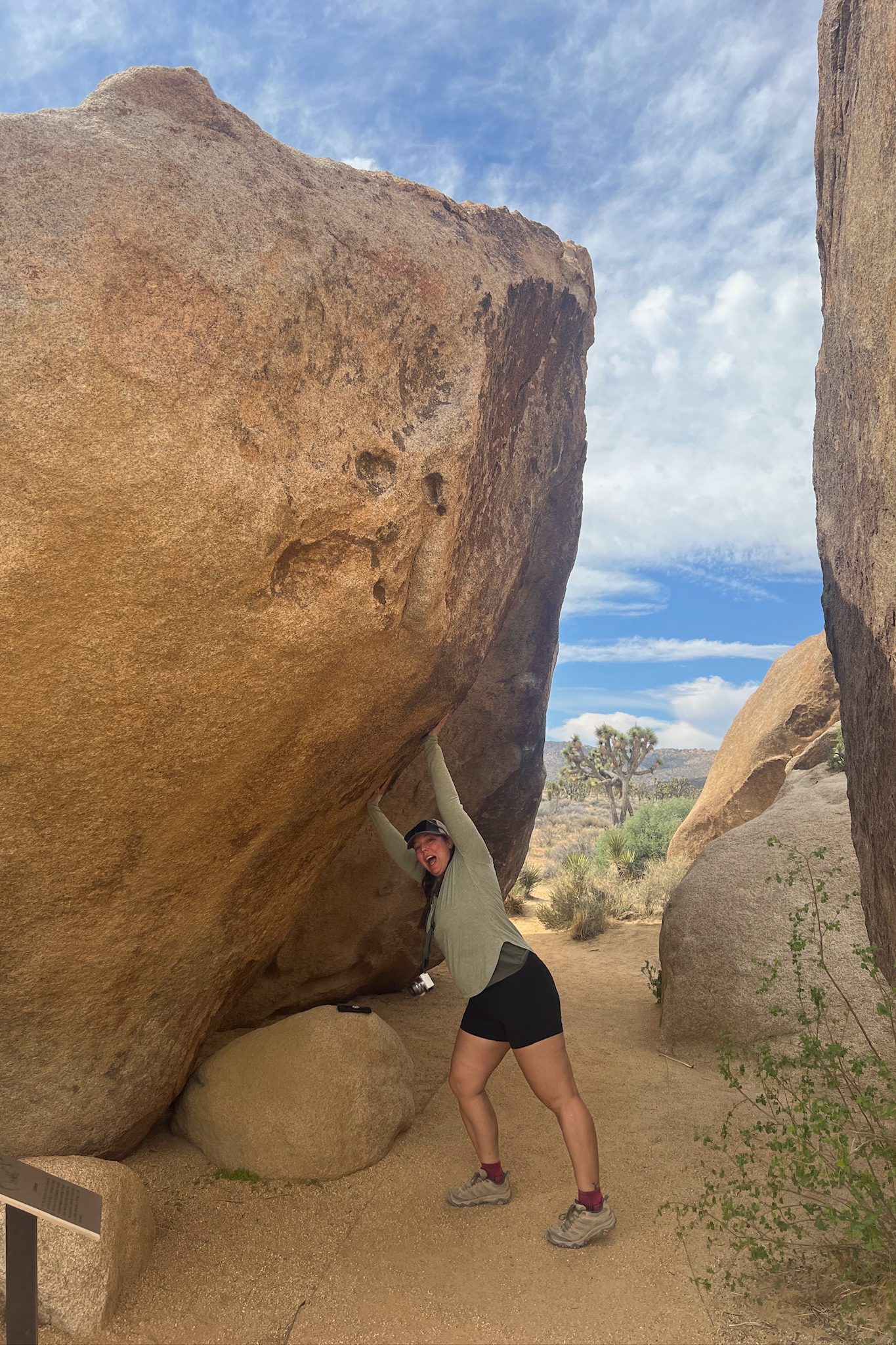
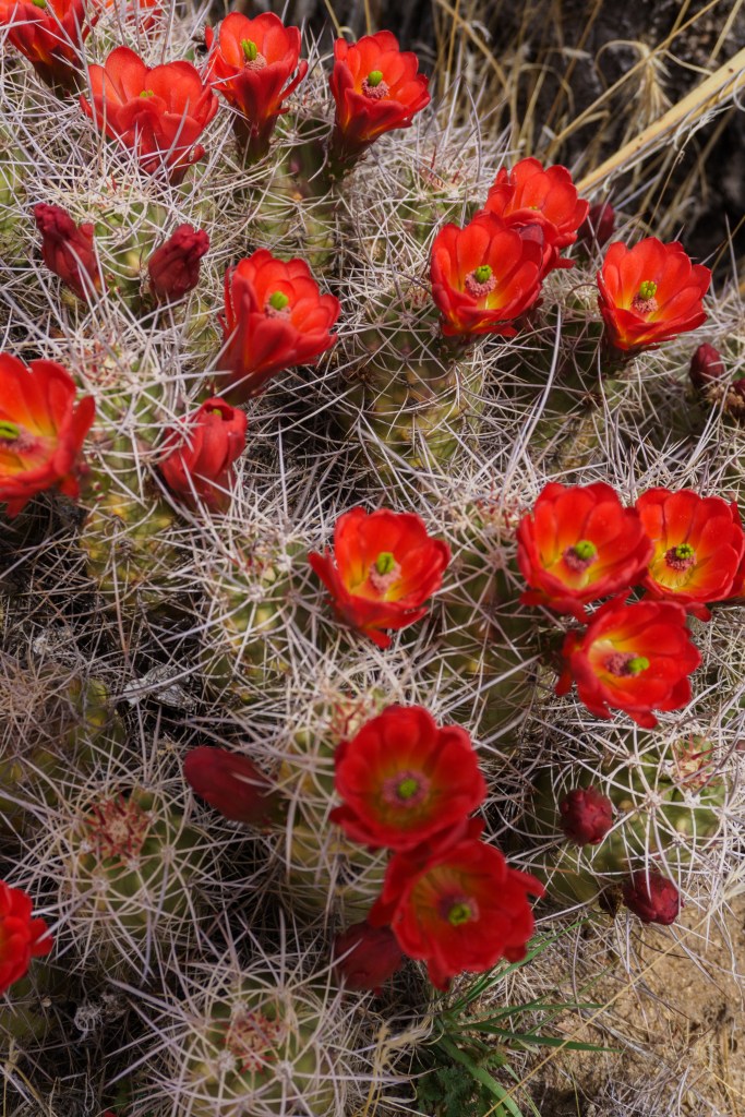
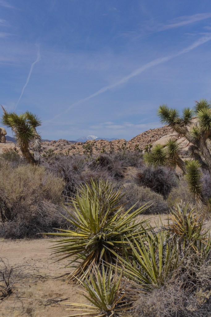
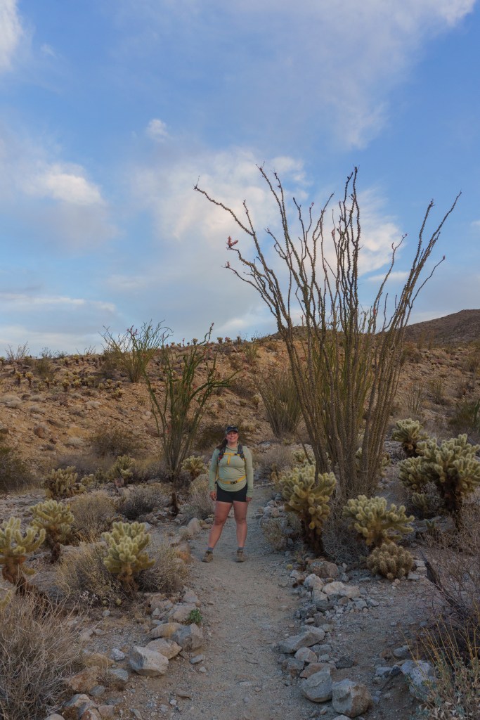
From there, we drove into the main part of the park. We were heading to our campground for the night but on the way, we stopped to do a quick hike to Arch and Heart Rock. This was an easy trail – mostly flat and sandy. It was fully exposed though, so keep that in mind. It was fun playing on all the rocks and having the freedom to scramble around. I think this is where Jarrett first fell in love with the park! After the hike, we continued the drive. We passed by the Cholla Cactus Garden, which was unfortunately closed for repairs while we were there, but you could still park on the side of the road to take pictures if you wanted. Next, we passed the Ocotillo Patch, which I loved. I had seen Ocotillo’s before in Texas and New Mexico, but I became obsessed with them after this trip. They are such a fascinating plant. We finally arrived at the Cottonwood Campground and found our spot. There weren’t showers, but they did have flush toilets, cold water sinks, trash and recycling and potable water. Our spot, A31, was perfect. We sat at the picnic table and played cards while watching the sunset.
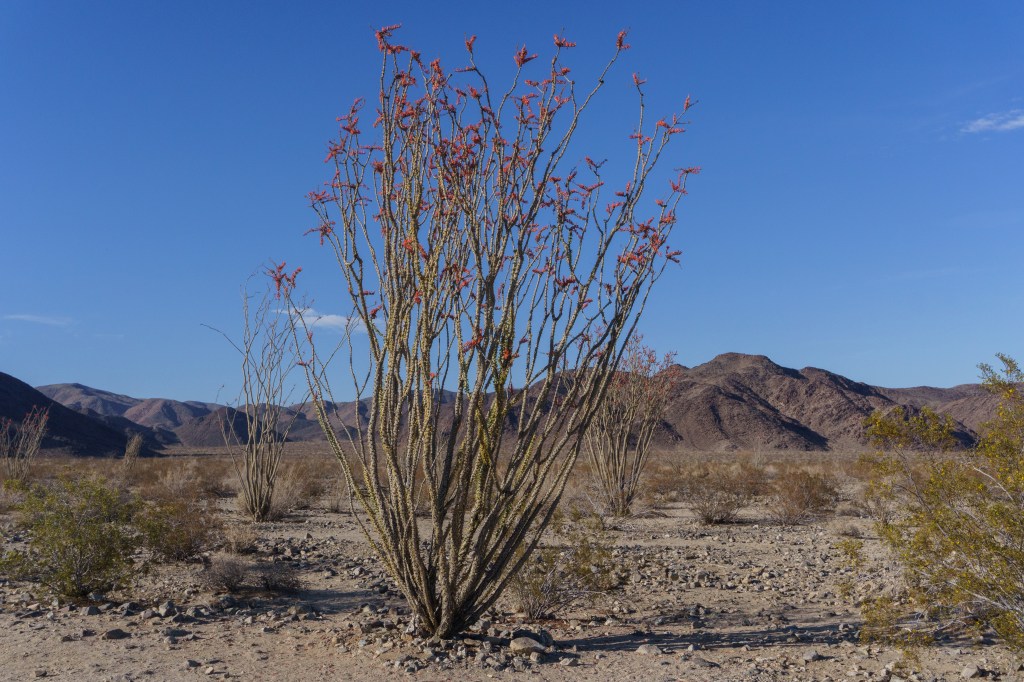
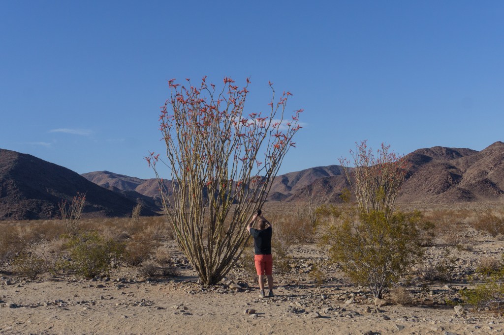
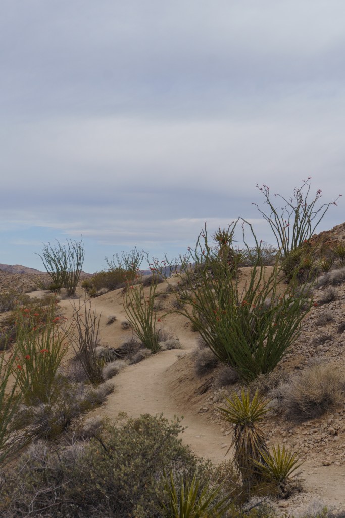
We slept well at this campsite; it was quiet with a cool breeze…but around 4:30AM we were both woken up by the howling and yipping of a coyote. It sounded fairly close and that it may have been talking to another coyote in the area. It was such a cool moment! After sunrise we decided to hike the trail that left from the campground and I’m so glad we did; it was one of my favorite hikes of the trip. It was the Mastodon Peak Loop. The trail took us through the desert, past unique rock formations, an old mine, tons of blooming Ocotillos, Mastodon Peak, and finally, Cottonwood Oasis. It was such a fun hike. It was pretty moderate, depending on your fitness level but there were so many beautiful plants everywhere. The morning was nice too and the lighting was excellent for photography. The oasis has its own parking lot so if you don’t want to do the whole loop hike, you can just go explore the oasis.
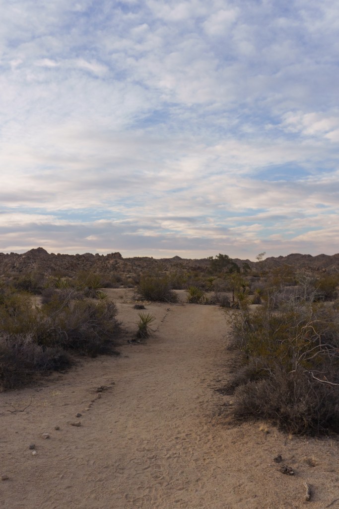
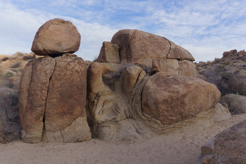
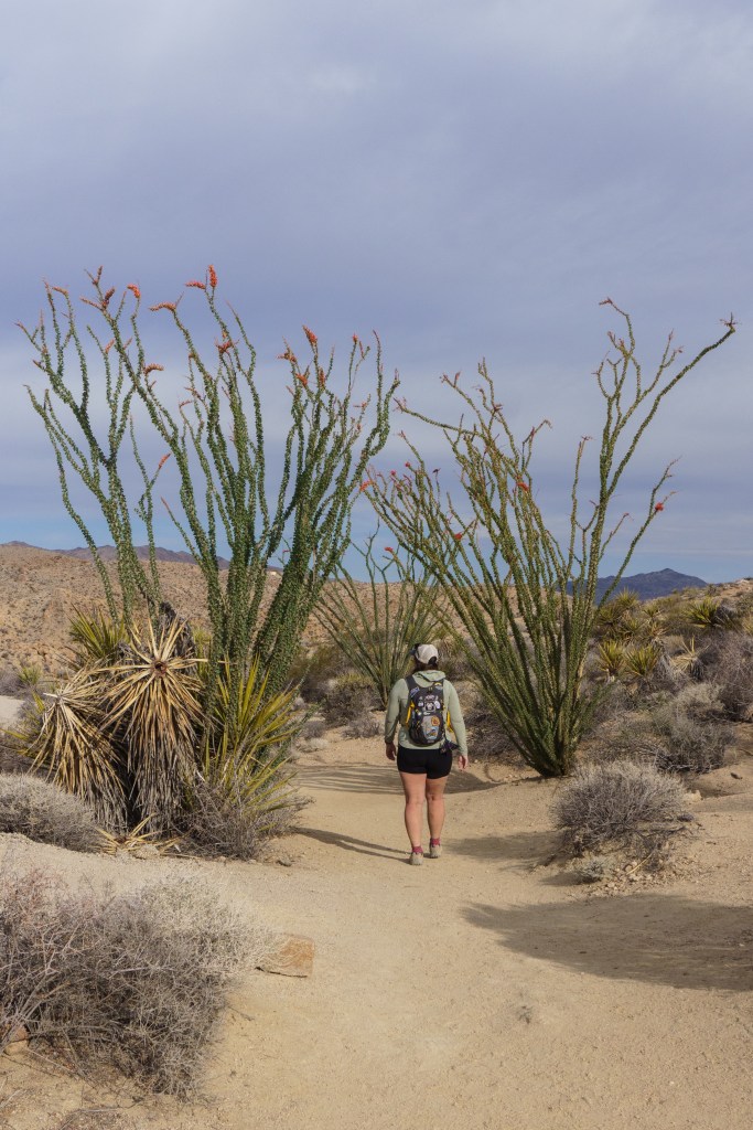
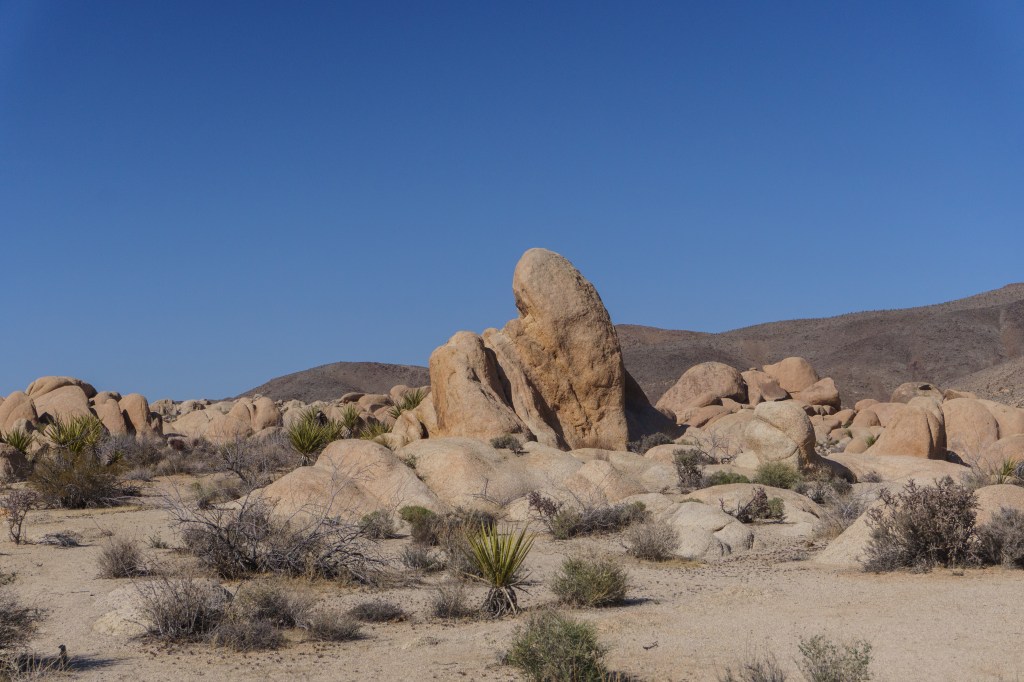
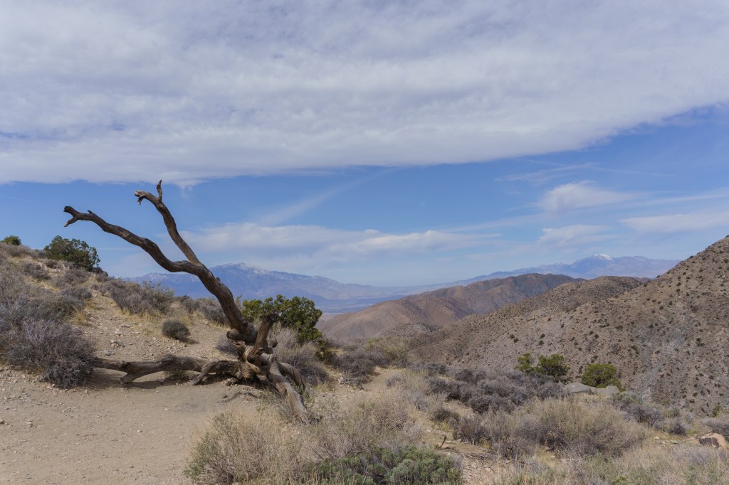
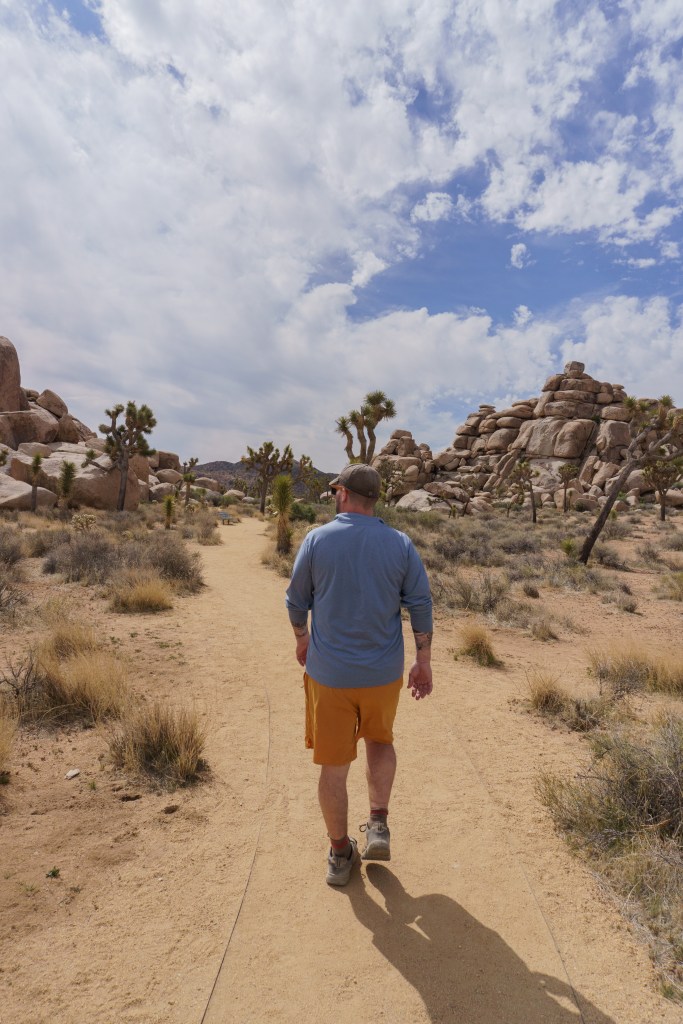
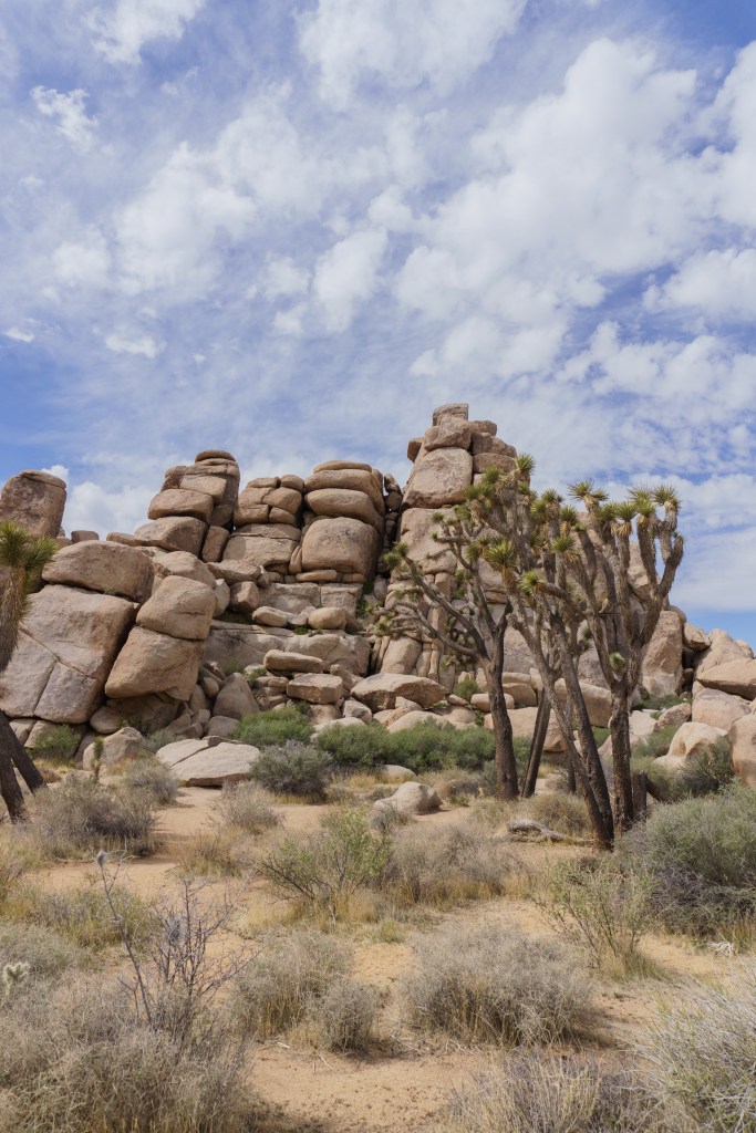
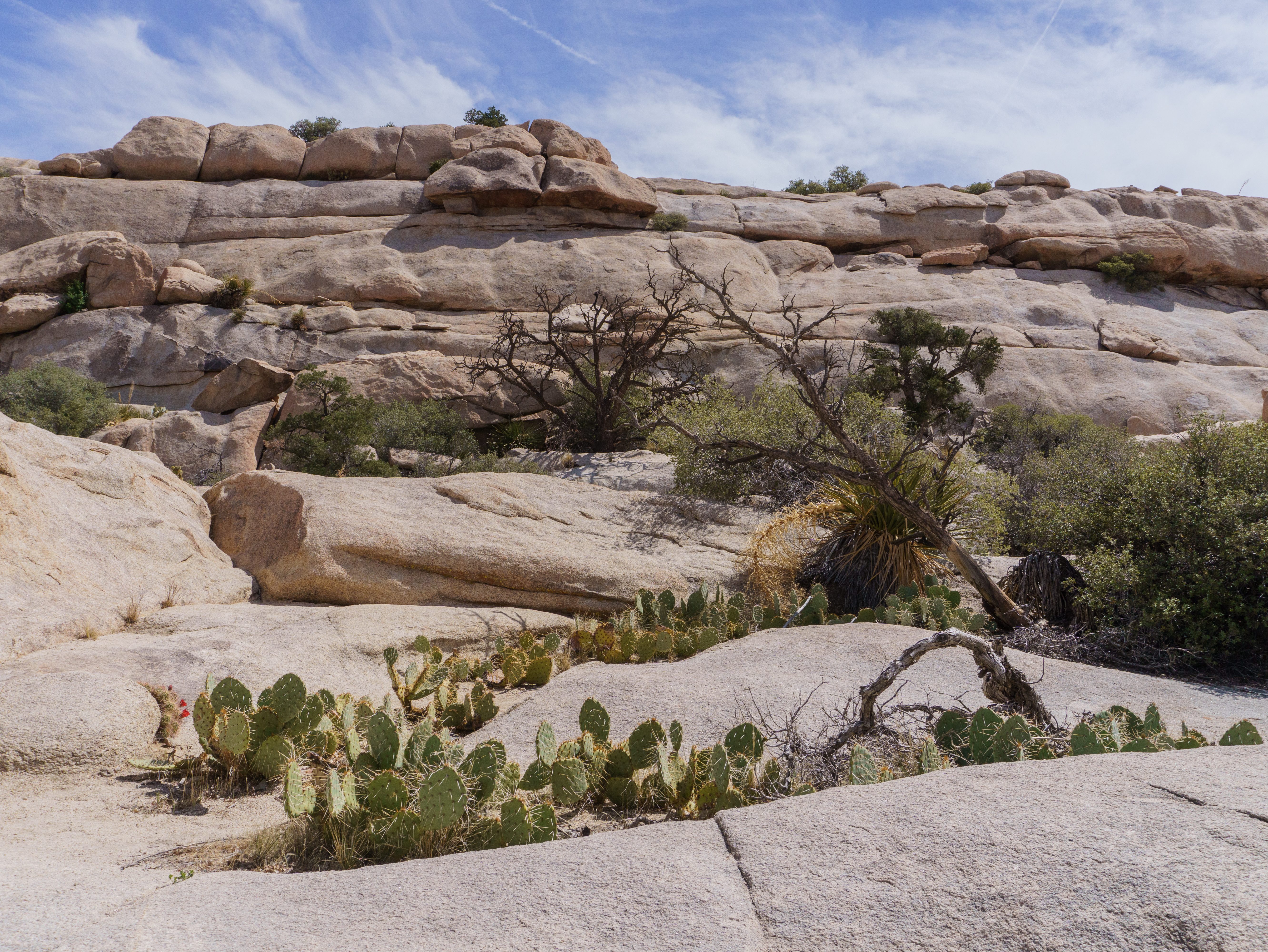
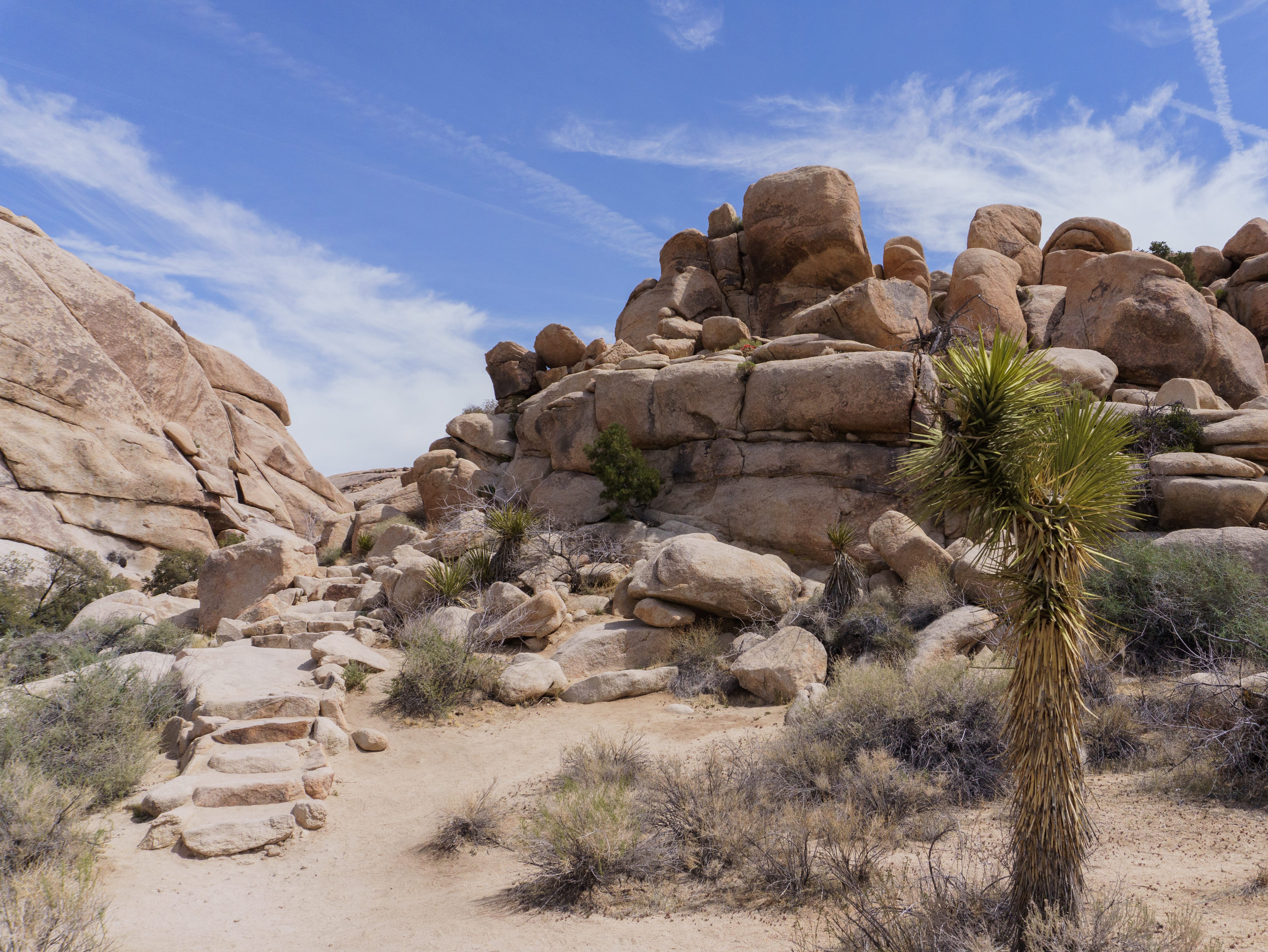
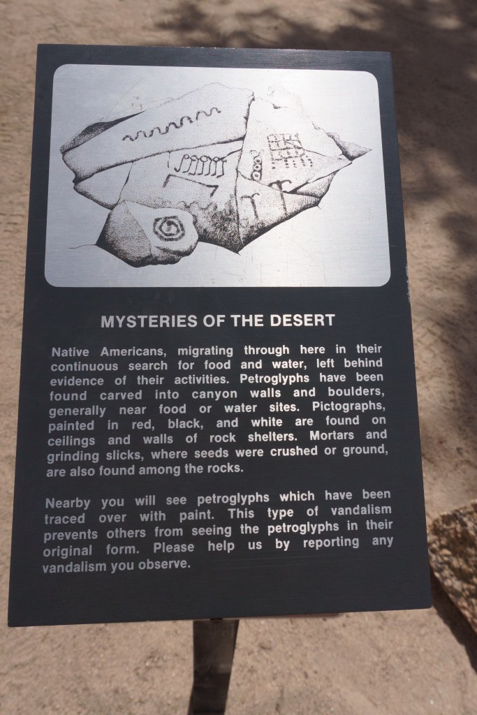
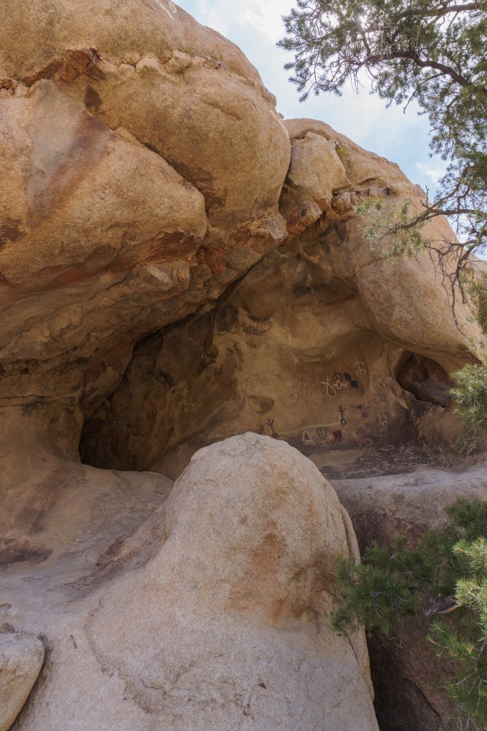
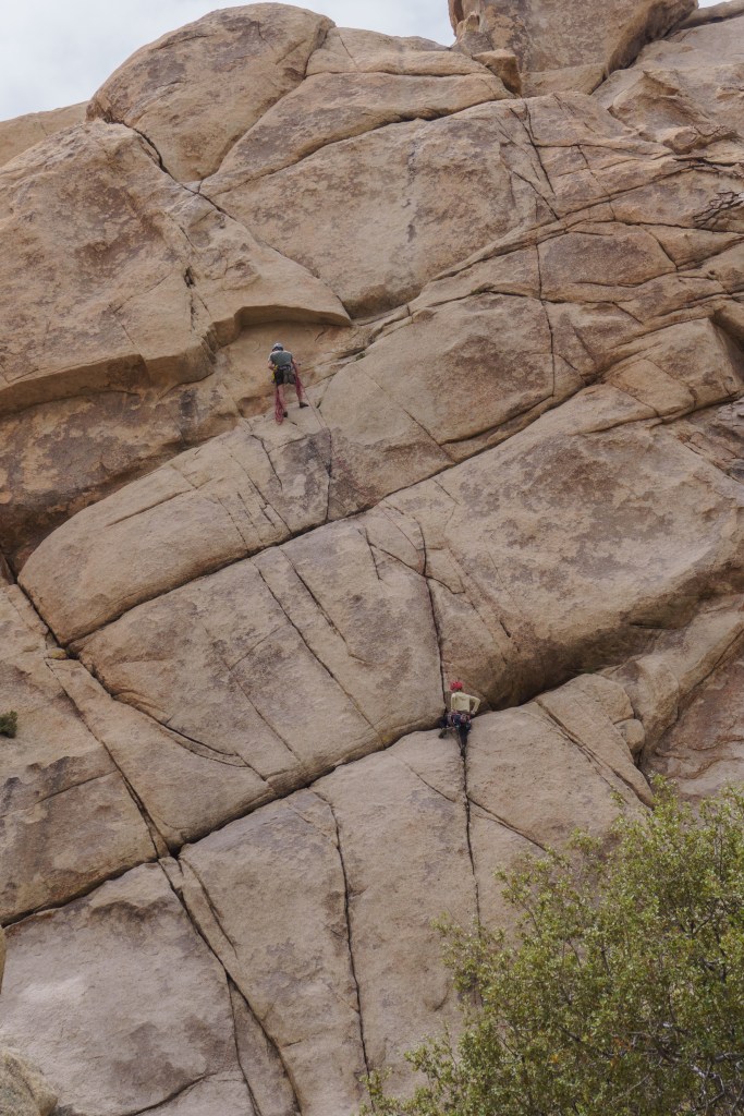
After we finished the whole loop back to the campground, we hopped in the car and headed to Keys View – a popular overlook in the park. The views were beautiful – you could see the Salton Sea in the distance and the San Andre’s Fault! From here, we drove to our next stop – Cap Rock. The rock itself looks like it’s wearing a little hat. There is a short flat trail about a quarter of a mile or so through Joshua Trees but I think most people come to this spot to rock climb as there are lots of interesting rock piles perfect for climbing and bouldering. After spending a little time here, we moved on to our next hike at Barker Dam. It was an easy and popular hike. It was really busy but the parking lot is large so we didn’t have an issue finding parking. We were able to see some Petroglyphs during the hike, sadly it looks like someone defaced them though. We figured we’d do one more short hike before calling it a day so we went over to Hidden Valley Nature Trail, which again was pretty easy, but very busy. We still had fun though. And we got to watch some rock climbers scaling a steep wall, which was cool. This trail was pretty and again, had great plant life and rock formations. This trailhead also had picnic tables, which is why I think it was so busy too.
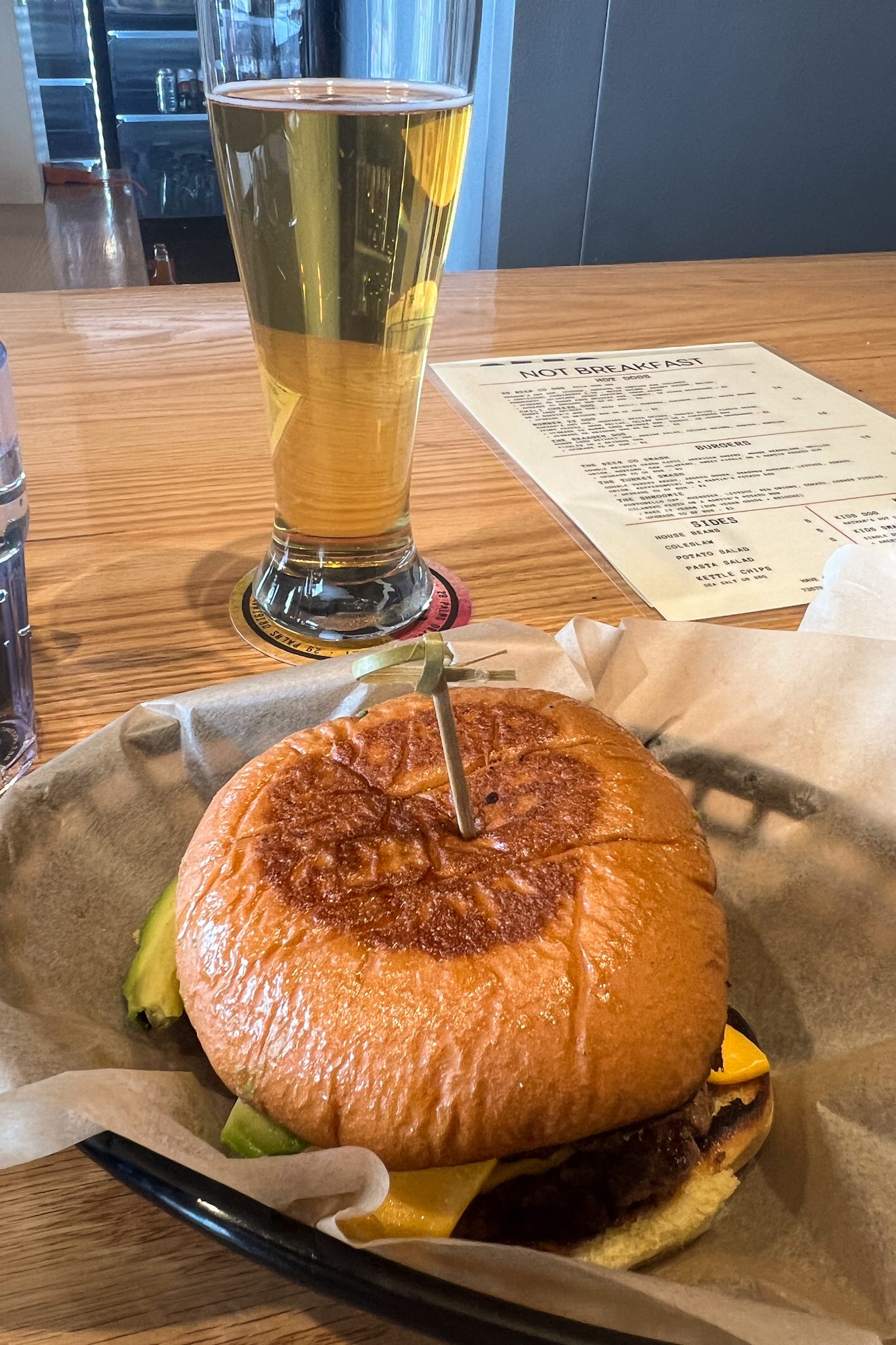
Once we finished here, we wanted to go to the visitor center, which was located outside of the park. We passed Skull Rock and thought about stopping but it was covered in people, so we skipped it. While in town, we went to a brewery and got food there. I had a smashburger that was to die for! The beer was good as well. It was nice to sit down and relax for a little bit after being busy all day. Afterwards, we headed back to our campsite to just chill and play cards. We liked the campsite so much that we wanted to spend as much time there as possible. We were treated to another beautiful sunset. We were woken up again around 5:30AM by coyotes, however this time it sounded like a small pack of them yipping and howling. We actually think they were hunting something in the campground or nearby, probably a jack rabbit. I took a video in the tent to capture the sounds – it was one of my favorite national park moments ever!
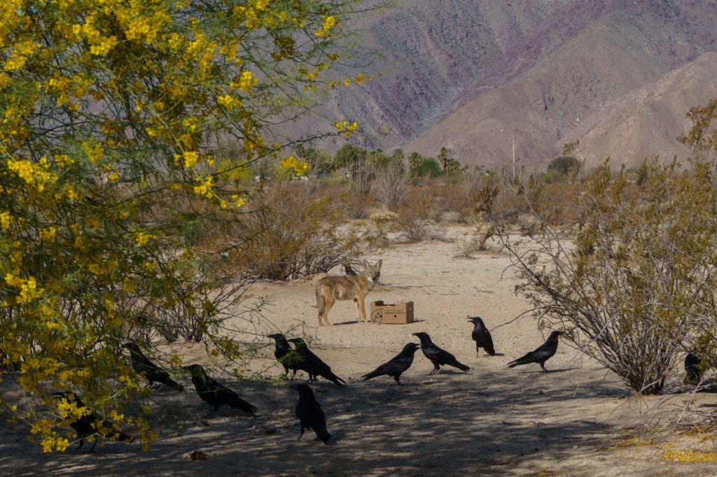
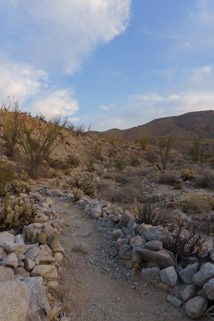
After leaving Joshua Tree, we headed to another park that I was excited to visit, however it wasn’t another National Park, it was a California State Park. I had seen so many posts and things online about Anza Borrego-Desert State Park and knew I really wanted to visit. Since we’d be somewhat close by, it made sense to take a detour there to check it out. We arrived in Borrego Springs early in the morning. Before heading to the visitor center, we stopped at a grocery store in town first. It looked like the grocery store had a habit of leaving out food for wildlife, so there were a ton of turkey vultures hanging around the parking lot. We also noticed a coyote and her pup snacking too. I know that feeding wildlife isn’t good, because it’ll food-condition the animals and they will start to associate food with humans. When this happens, they start to lose their fear of humans, which results in more animal/human conflict. However, since there wasn’t anything I could do to rectify the situation, I took advantage of the coyote occupying itself with meat and got some pictures with my zoom lens.
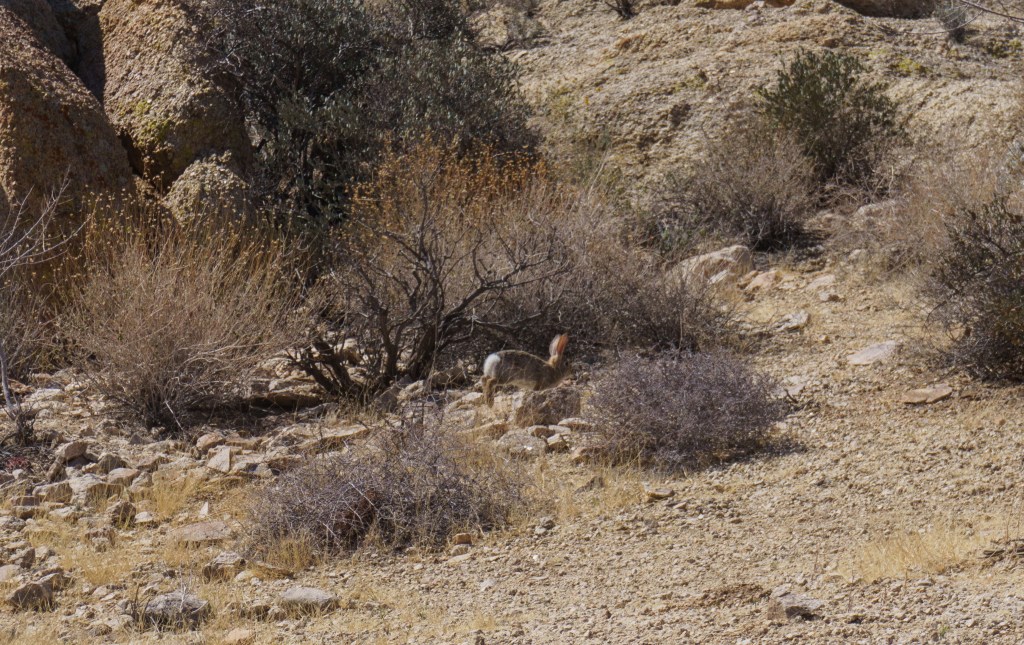
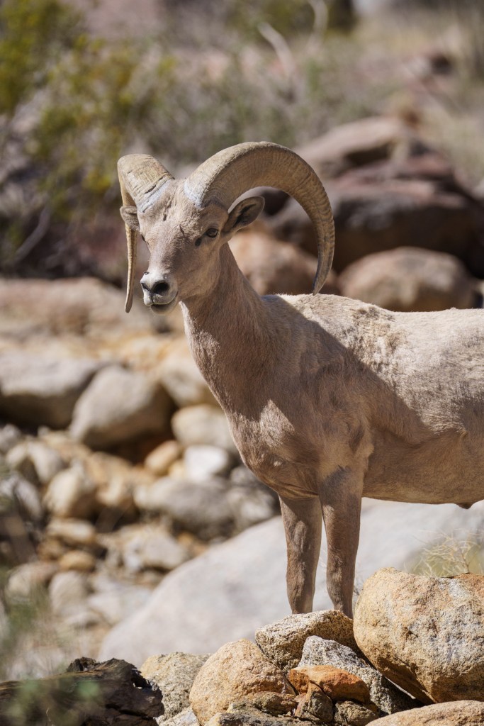
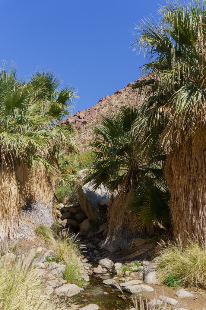
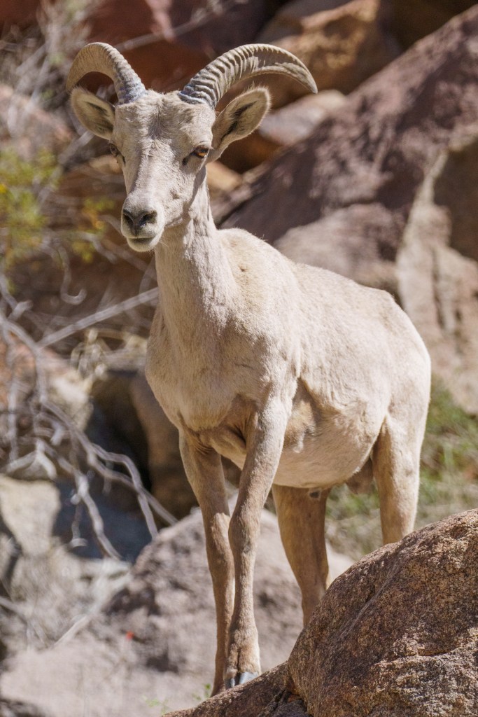
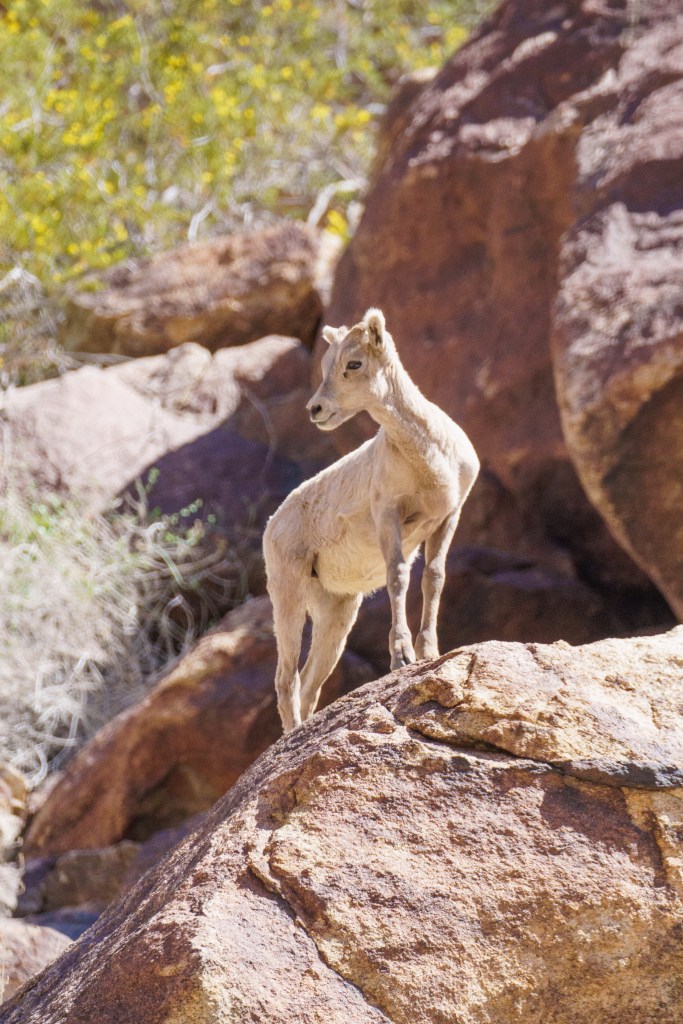
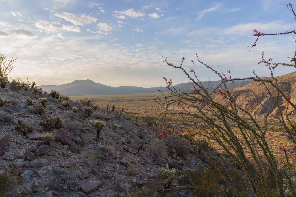
After a quick stop at the visitor center, we went to the trailhead for our first hike in the park – the Palm Canyon Trail. This was such a fun hike. It wasn’t too challenging, but it was very hot, so plan accordingly. About 15 minutes into our hike, we saw a group of six or so male bighorn sheep! They were all just hanging out, some laying down in the shade. I was able to take a lot of pictures of them. One of them, I’m guessing he was the alpha male, was very curious about the hikers on the trail and came out on a rock to overlook the trail. It was a perfect photo! After enjoying the sheep for a while, we continued on our way. The trail took us a long a small river, which actually had some running water! We passed a group of people who told us that further up we’d see a herd of bighorn sheep, so we hurried along. Near the end of the trail, near an oasis, there was a herd of about 20 bighorn sheep scampering along the cliff walls right above the trail. It appeared to be all ewes and babies, plus some adolescents. We absolutely loved watching them – it’s so impressive how nimble they are on the narrow, sheer rock cliffs! As we hiked back to the start of the trail, the herd traveled alongside of us, just on the opposite side of the river. We actually had one sheep come flying across the trail in front of some other hikers and go leaping through the overgrowth to catch up with the rest of the herd! It was a very exciting hike!
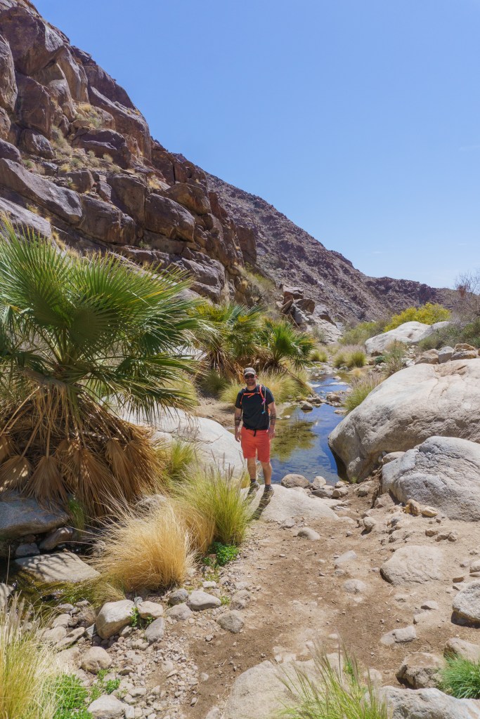
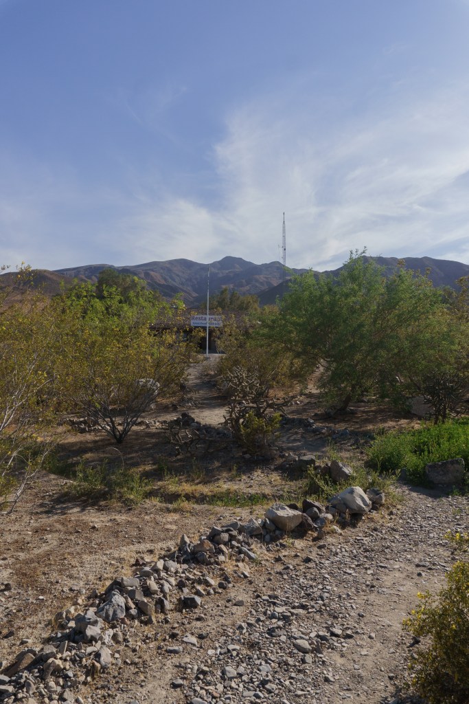
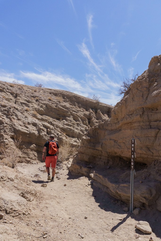
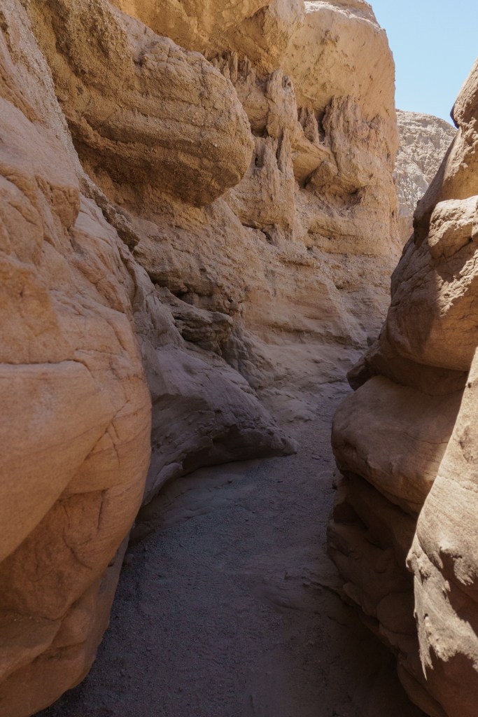
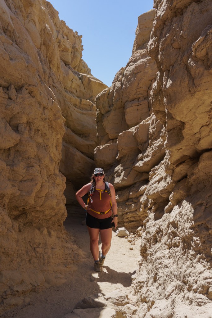
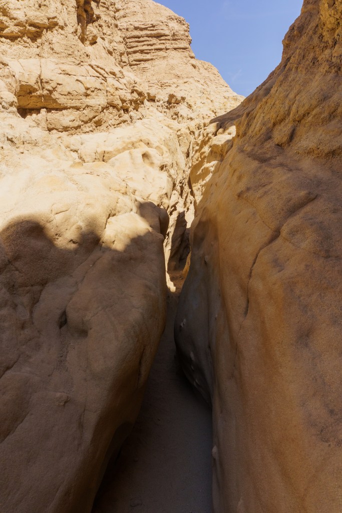
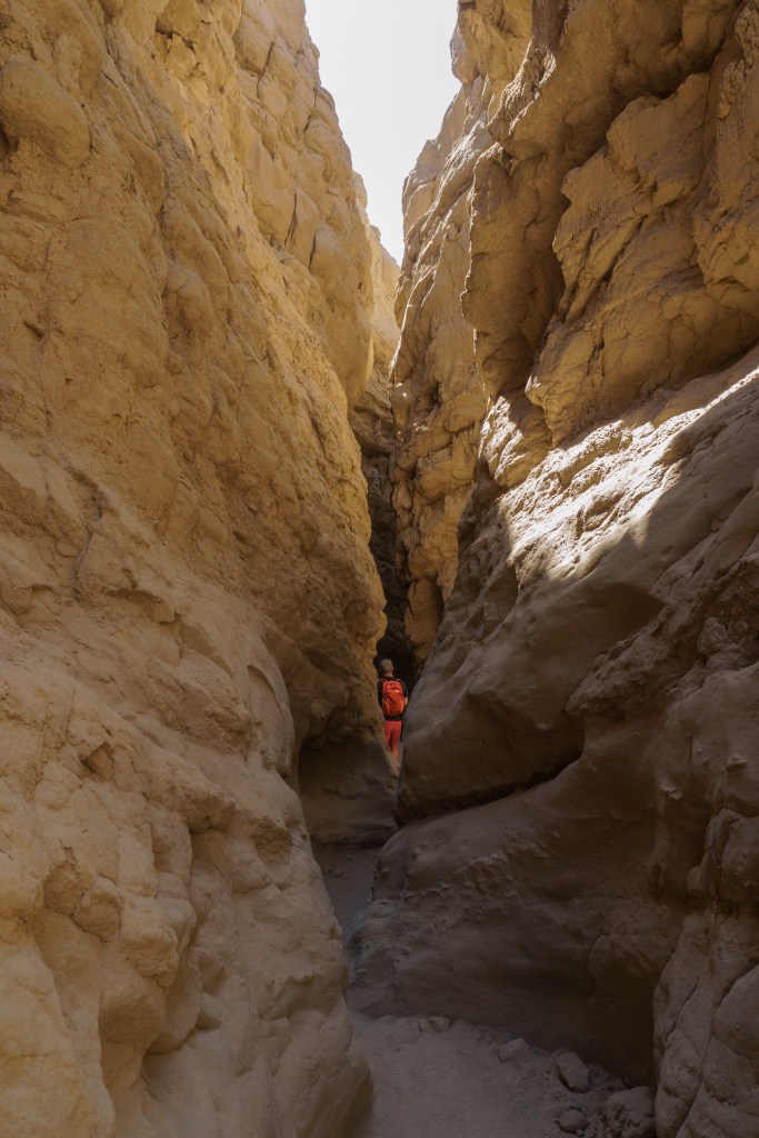
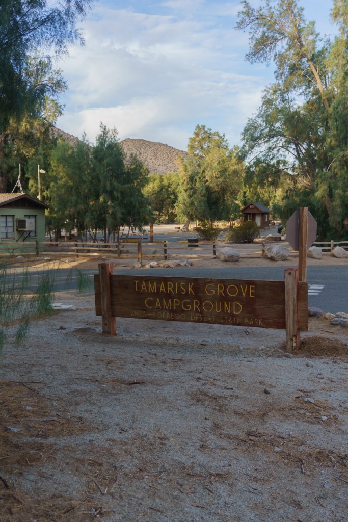
Afterwards, we went into town and checked out The Red Ocotillo for lunch. Then we went to the next hike, The Slot, which was at another part of the park. It doesn’t look like much to start…just some dusty mud hills, but then you descend into the canyon and things get really fun! It was our first slot canyon hike and we had a great time navigating it. There is a full loop but most of it is exposed, so a lot of people just do the slot canyon part as an out and back. It was a quick hike but a lot of fun. We headed over to Tamarisk Grove Campground for the afternoon to get our campsite set up. It was a small but beautiful campground with flush toilets, sinks and showers (with tokens). For people without a trailer or a tent, they do have some small cabin rentals! It was a nice spot; however, it was close to the road. Luckily, there wasn’t a lot of traffic so it was quiet.
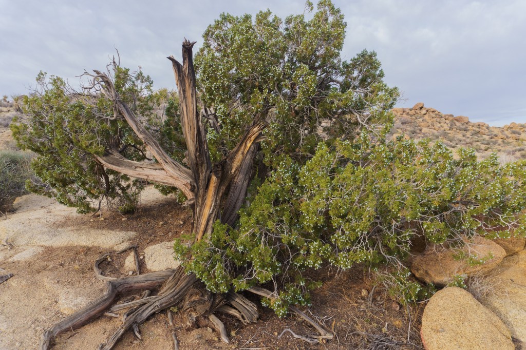
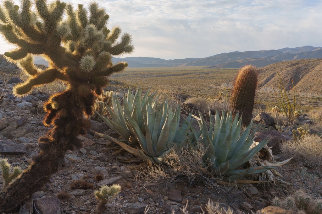
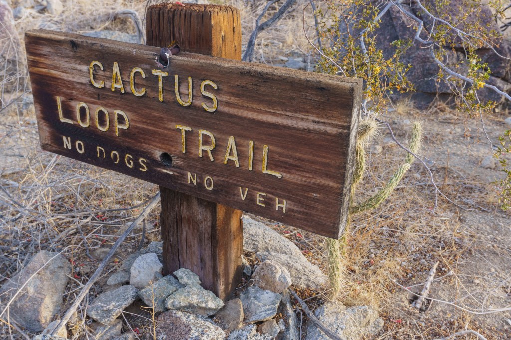
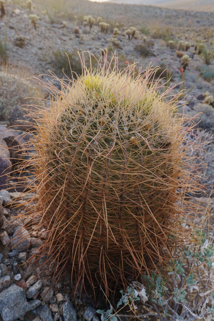
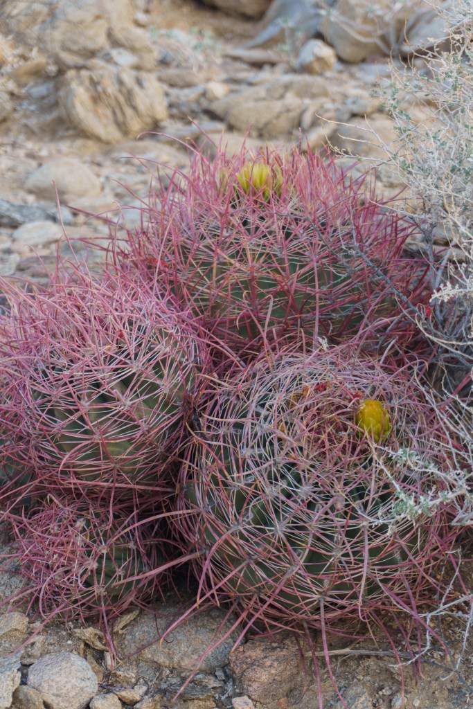
The next morning, before we left the park, we walked across the street from the campground to hike the Cactus Loop Trail. It was a short 1-mile hike but it was beautiful in the early morning light and there were so many different kinds of plants and cacti! Once we packed up, we headed west to the coast to visit my cousin Michael in Long Beach. Him and his partner, Kim, had just had a baby the month before so we wanted to meet the new little dude. On our drive, I got a notification on my phone that there was a 6.5 magnitude earthquake (it was later downgraded)! I started to look up more about it on my phone and found out that there was another earthquake the night before right by our campsite! We didn’t feel either of them. We went for a walk with Mike and Kim to get lunch and spend time with the baby, but then continued on our journey. It was a short visit, but it’s always nice to see family or friends during our travels. We were staying in Ventura for the night so while there, we walked to Topa Topa Brewing. We got great beers, some fun merchandise and tacos for dinner from a food truck at the brewery.
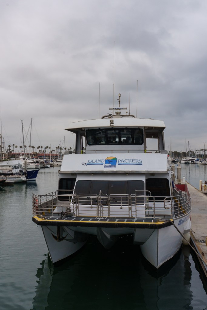
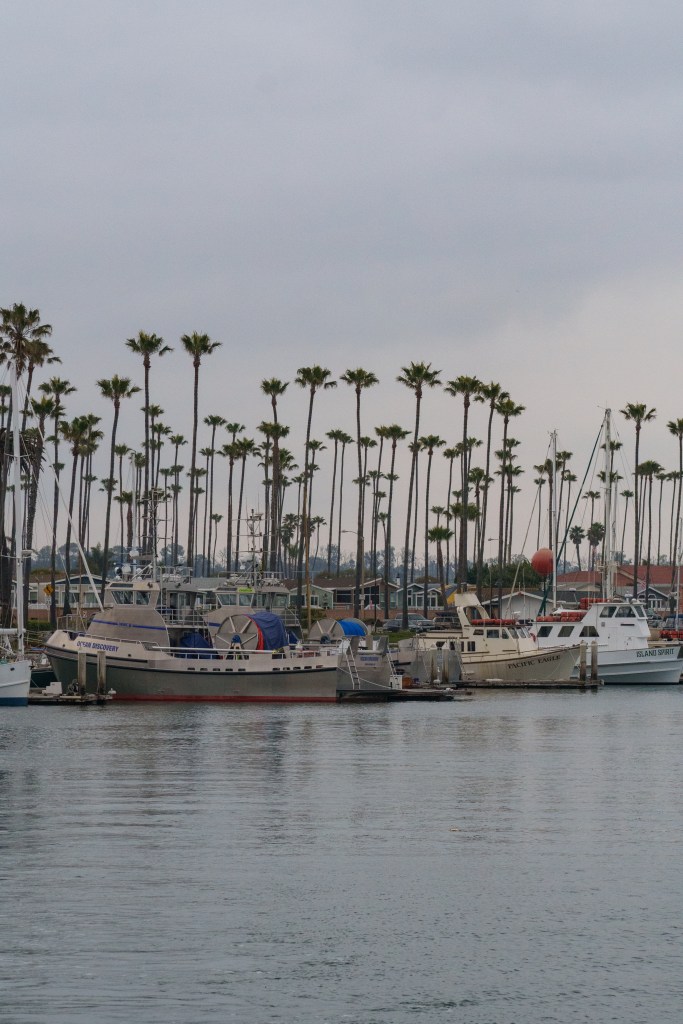
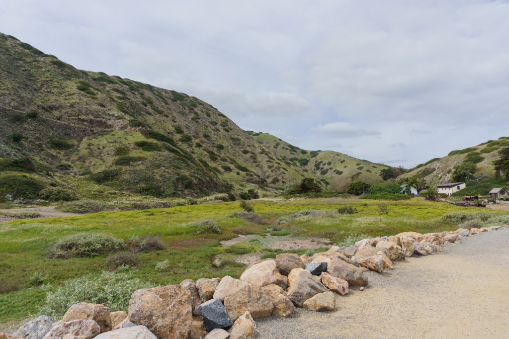
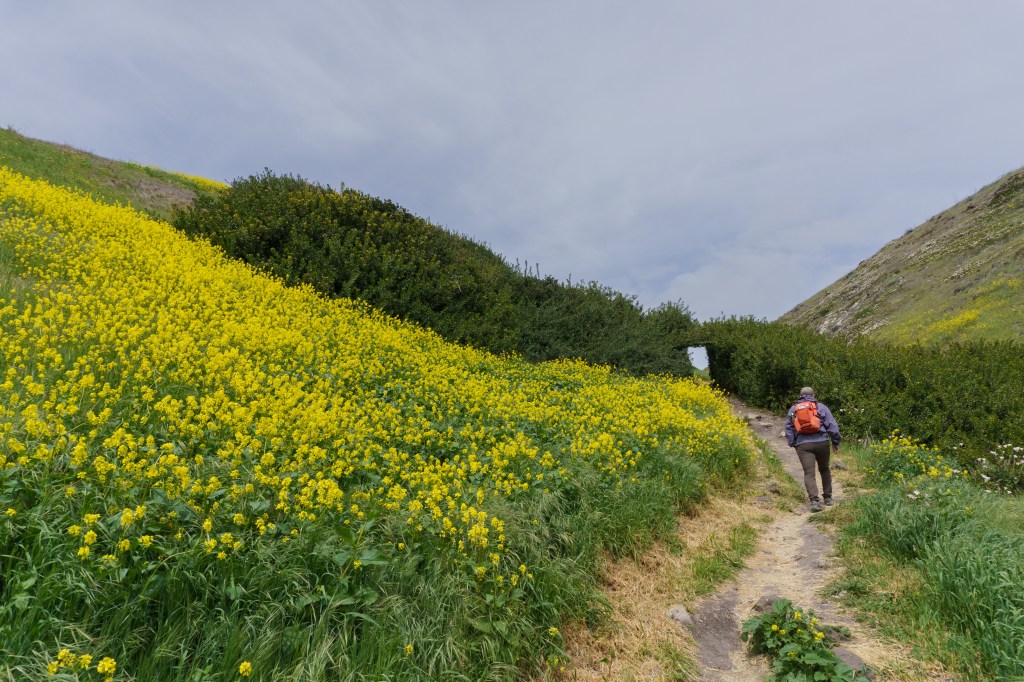
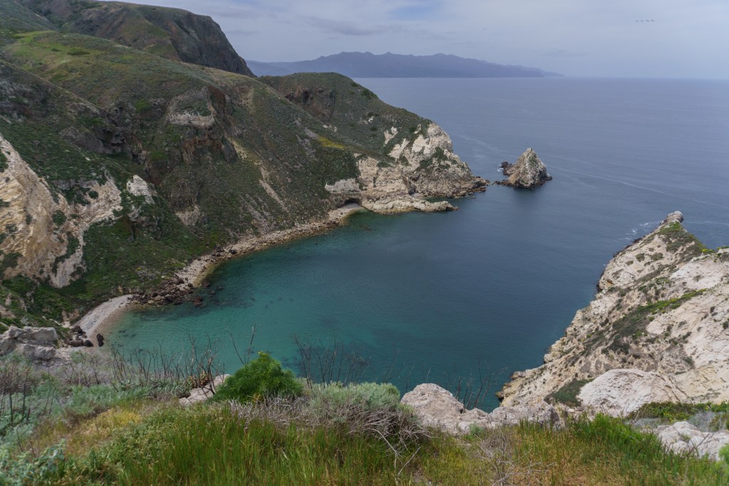
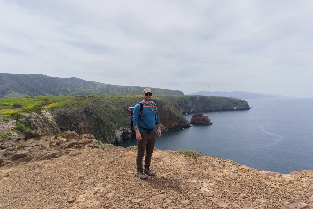
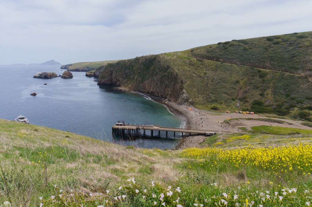
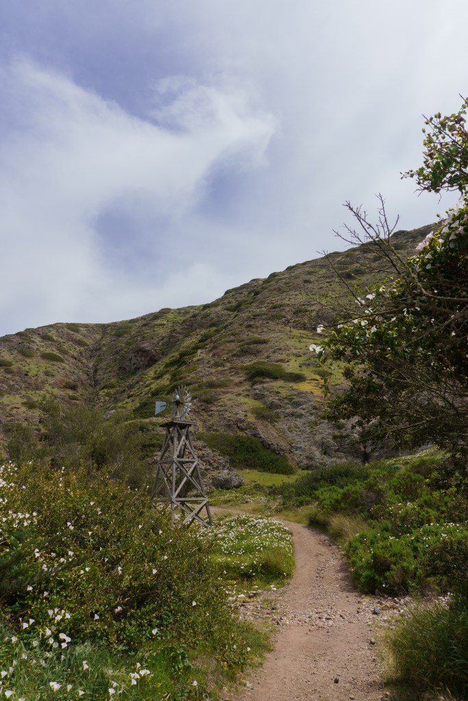
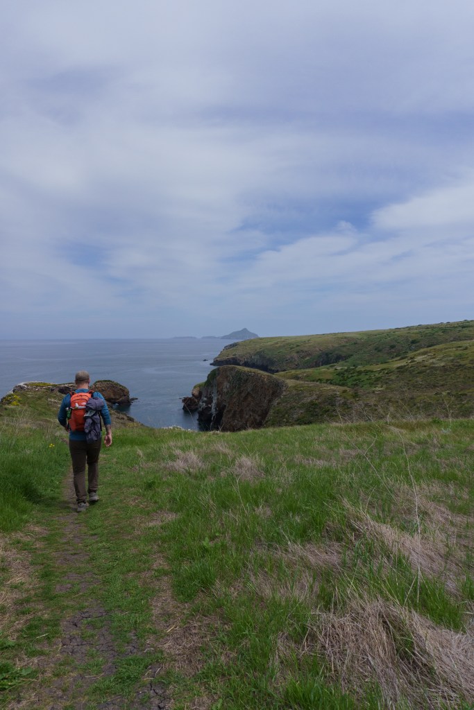
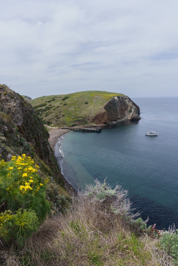
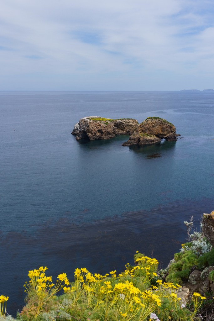
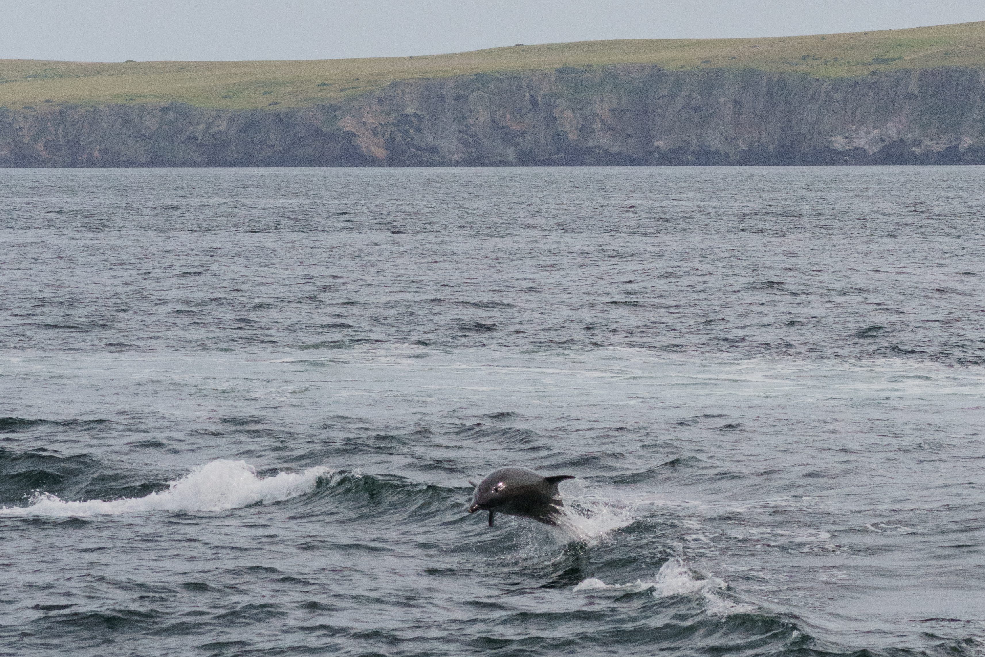
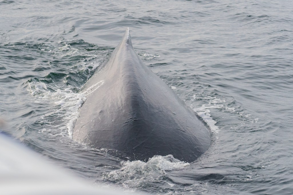
The next morning, we got up early and headed down to the harbor to get the ferry over to the third National Park of the trip – Channel Islands! The park is made up of eight islands off the California coast. There are different ferries that run to the different islands and the schedules are all different, some run weekly, others are daily. We decided to visit Santa Cruz, the most popular island and the easiest to visit. The ferry ride was about an hour. It went by quickly but when we did see whales or dolphins, they would slow down or stop so we could appreciate the wildlife. Once we got to the island, we didn’t waste any time, we hit the trail immediately. We hiked out to Potato Harbor. The views from the island are incredible. The landscape reminds me of what you might see in Ireland or something – it was so green and lush! The overlook at Potato Harbor was beautiful and was a great spot to break for lunch.
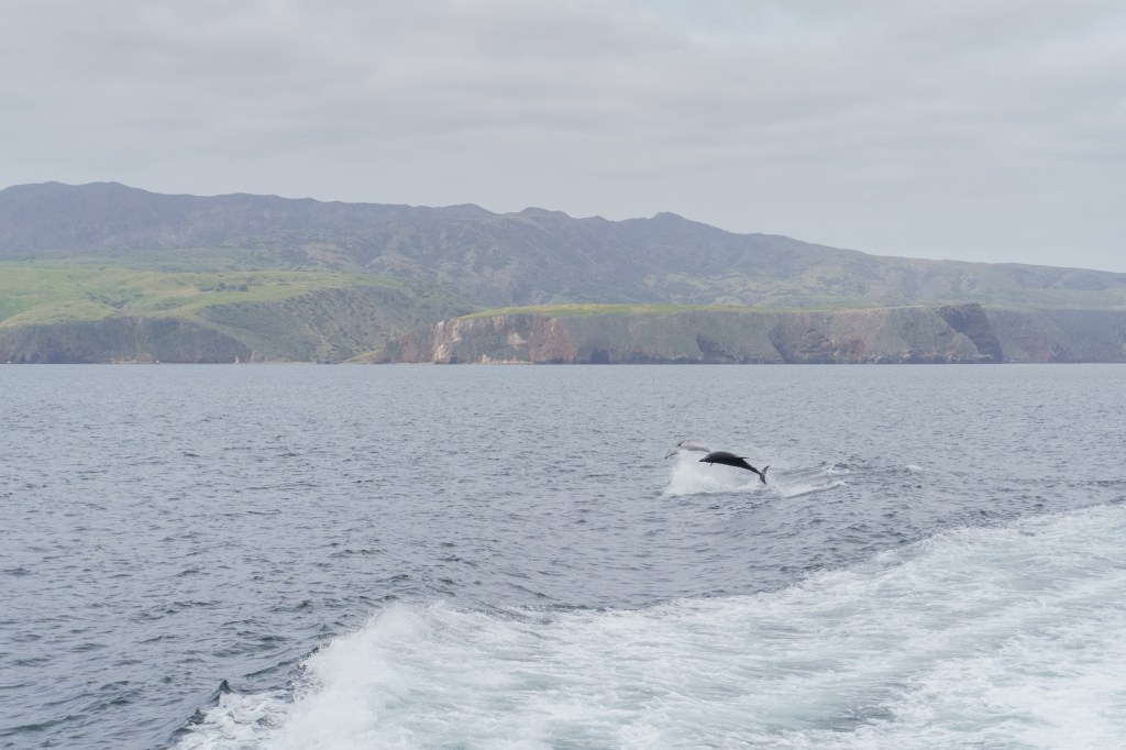
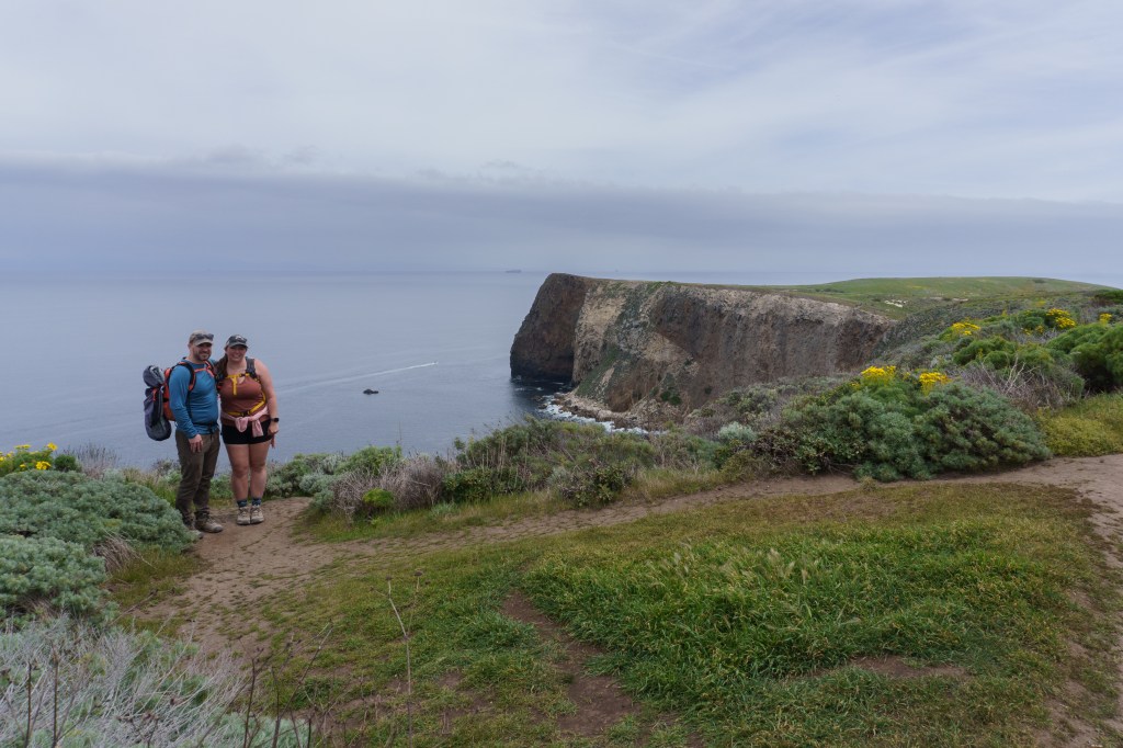
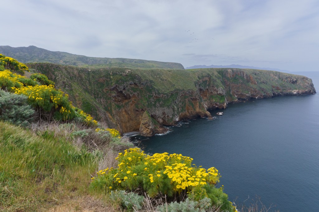
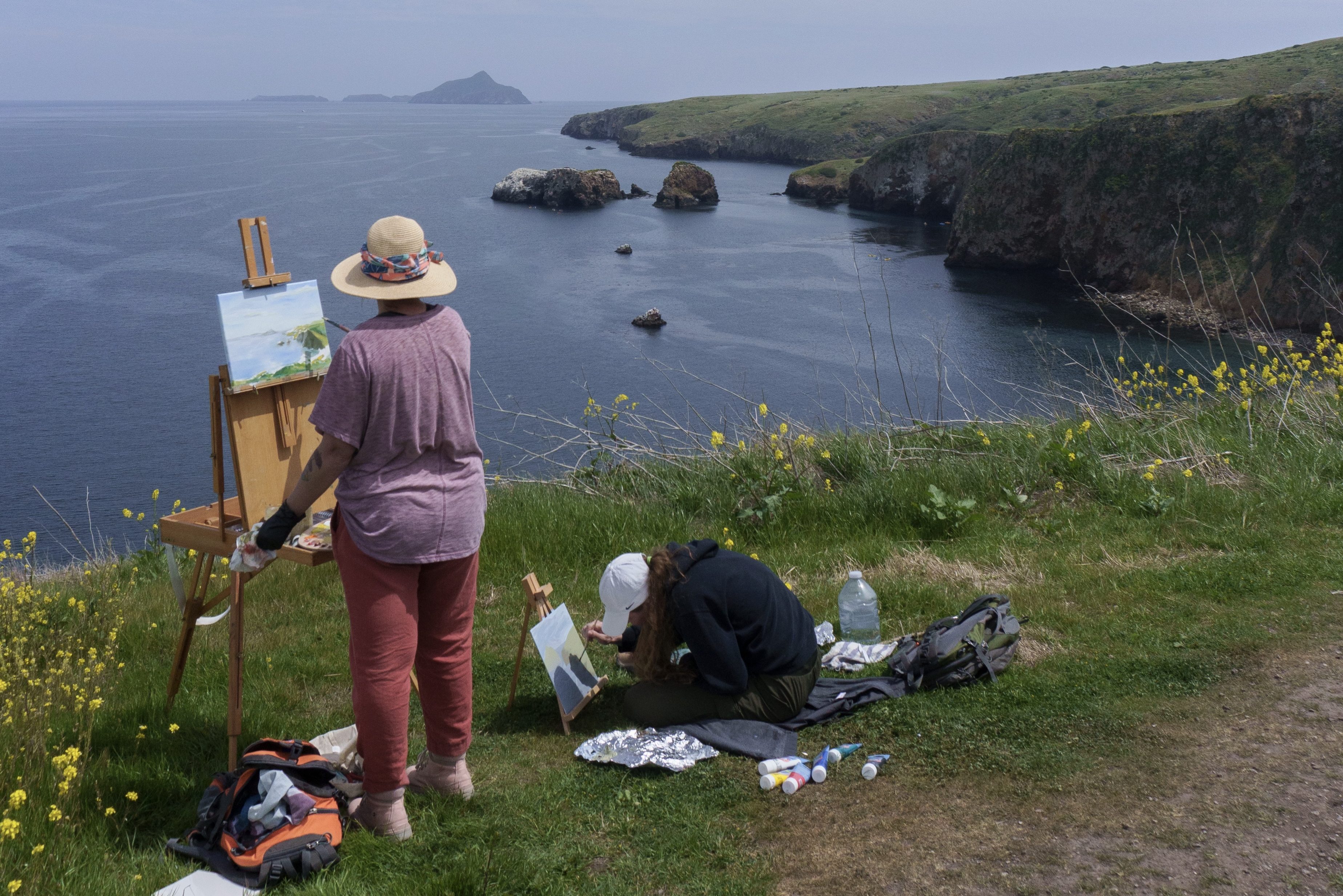
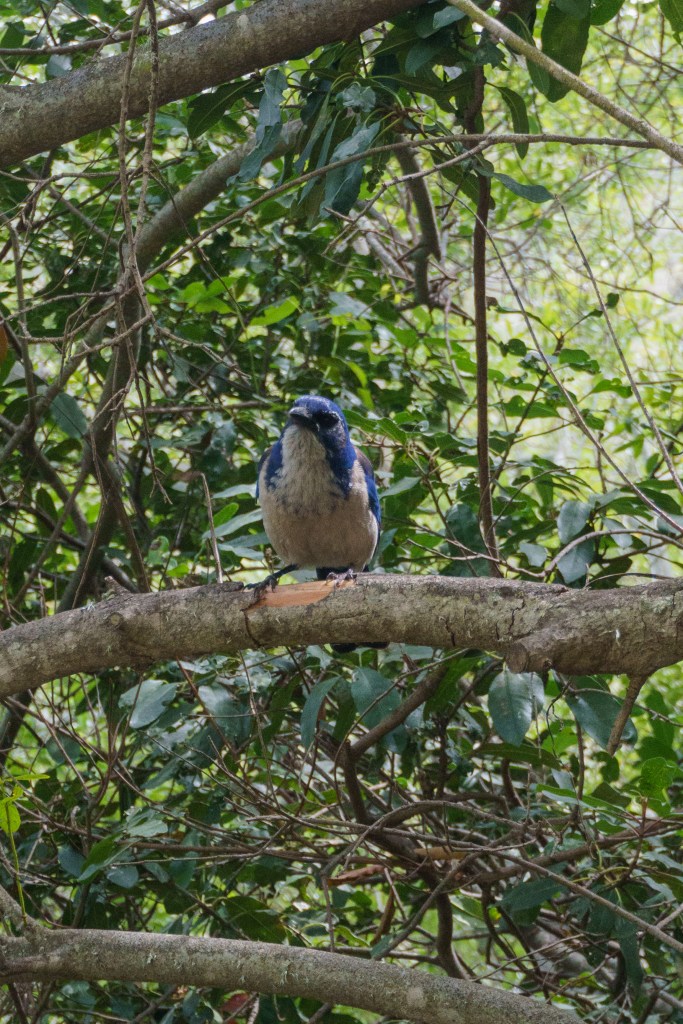
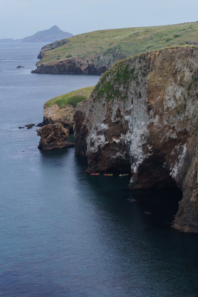
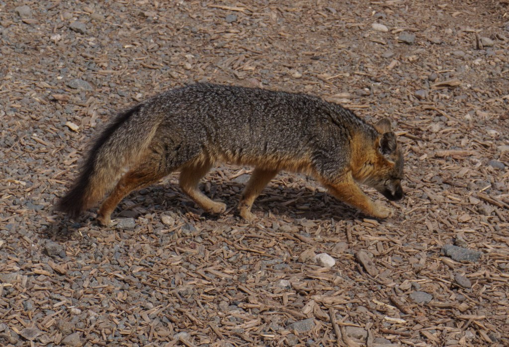
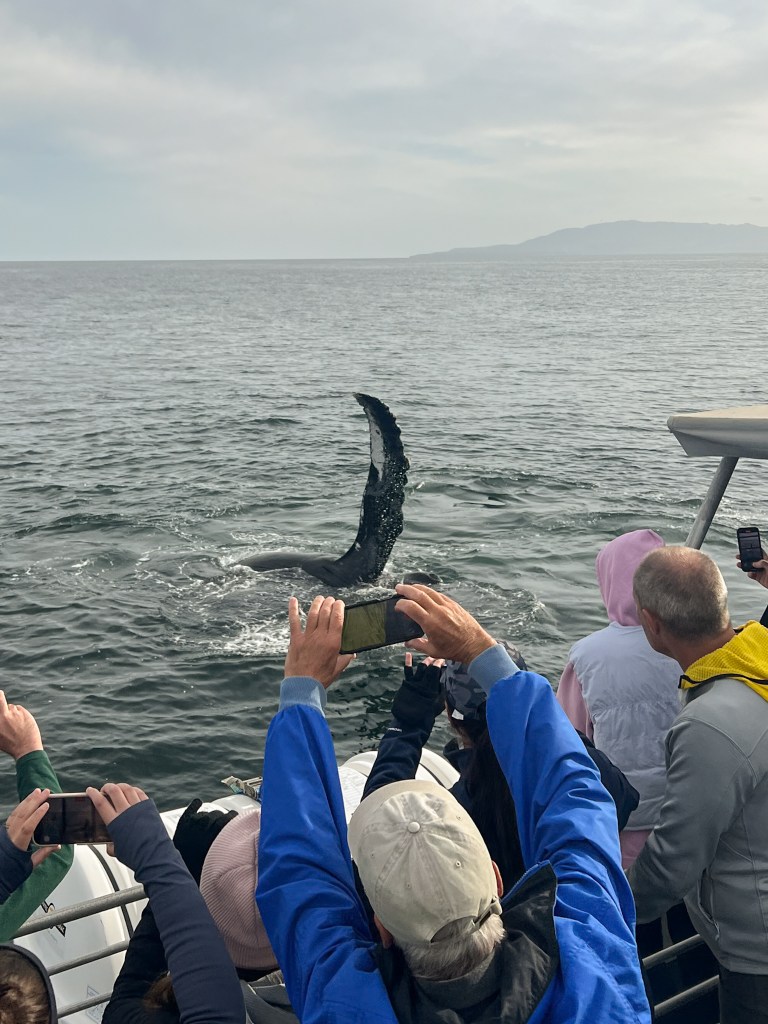
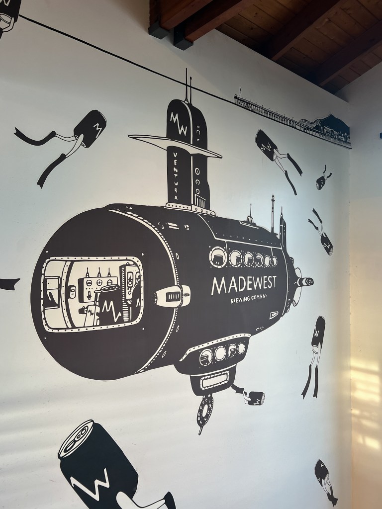
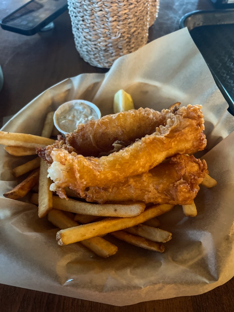
From here, we hiked over to Cavern Point. During this part of the hike, we saw an artist painting the view. I asked if I could take a picture of her and we exchanged information and now we’re Instagram pals! Check out her page – @evamae_art. We ended up back down near the harbor and stopped for a quick bathroom break. While here, I sat at a picnic table to take a short rest and a snack, when all of a sudden, an island fox came out of the woods and walked right under the table and sat nearby watching me. The island fox only lives on six of the eight Channel Islands and are found nowhere else on earth! It was really special getting to see one! After seeing the fox, we walked up another trail to Scorpion Rock overlook for more impressive views. We got to see people kayaking below through the sea caves which was neat! Shortly after, we got back on the ferry to head back to the mainland. On the ride back, we were taken hostage by humpback whales for almost an hour, it was awesome! We had two of them feeding right around and under the ferry so the captain wasn’t able to move the ferry until they moved. It was like getting a whale watching tour for free. Once back at Ventura, we stopped at MadeWest Brewing Co. for a beer and got some yummy food at Eric Ericssons Fish Co. We were exhausted so went to bed early since we had another early morning the next day.
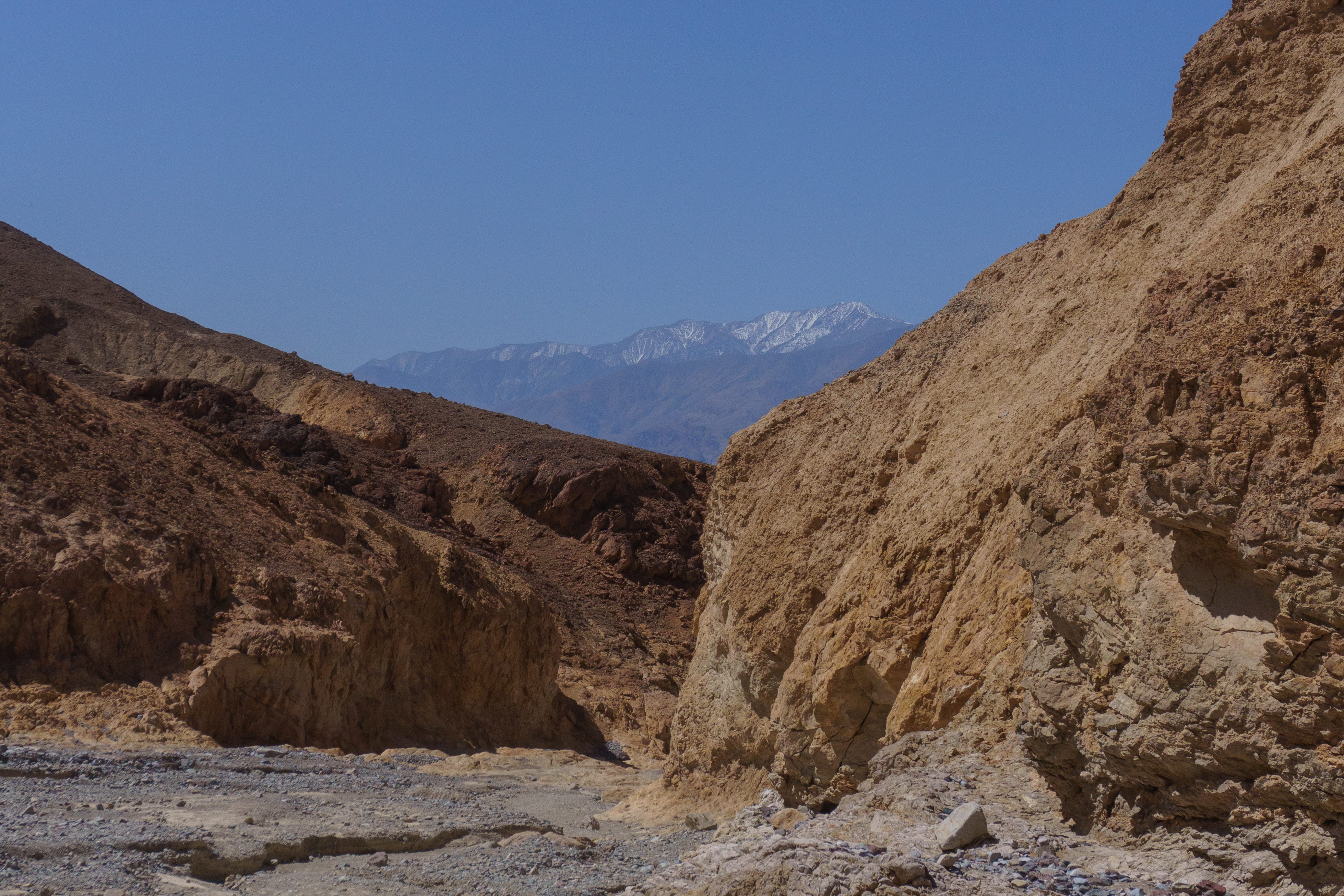
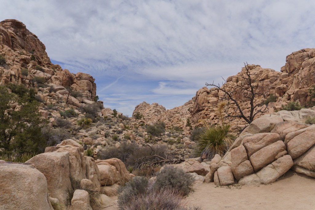
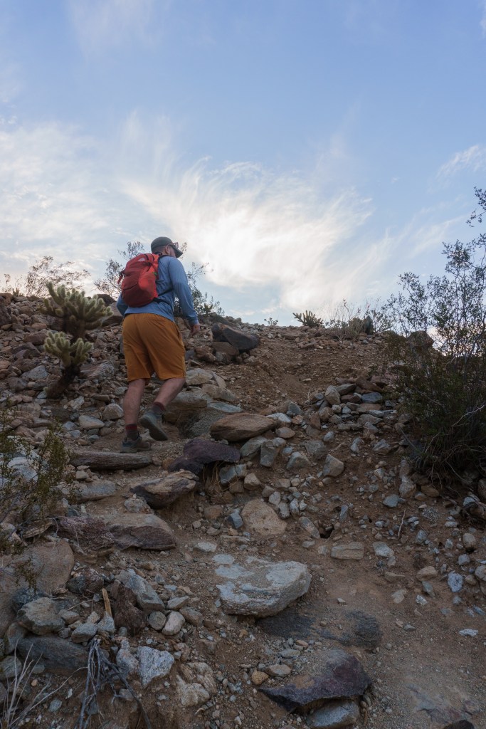
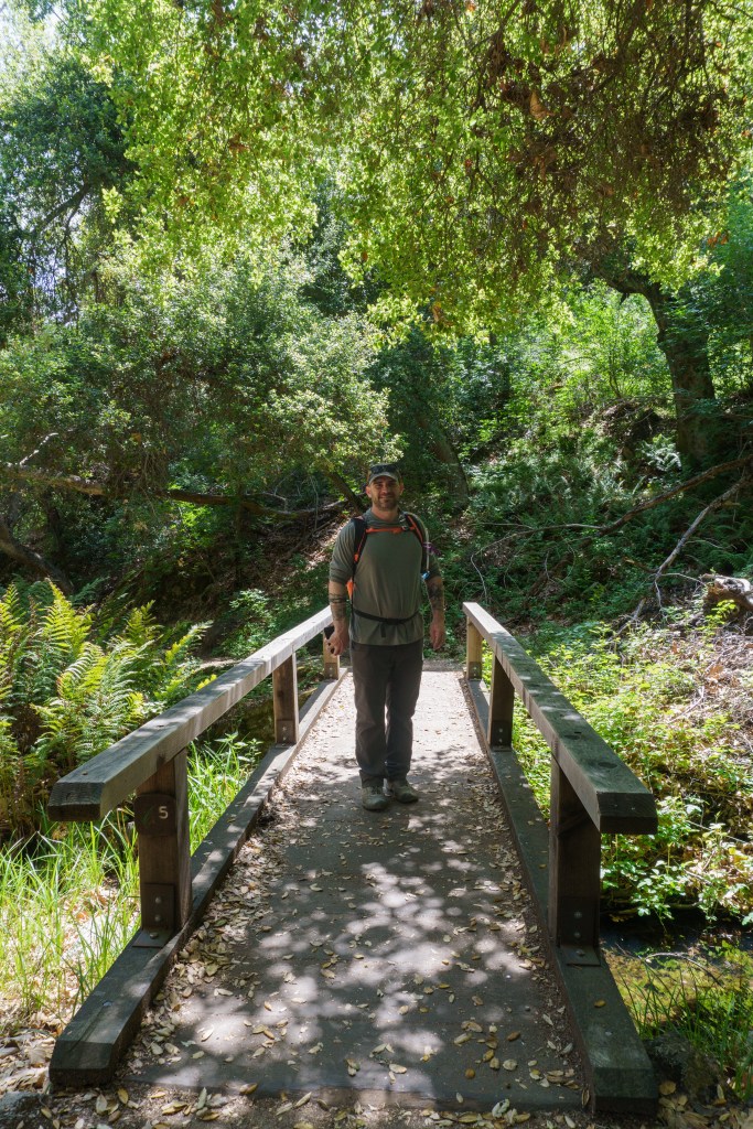
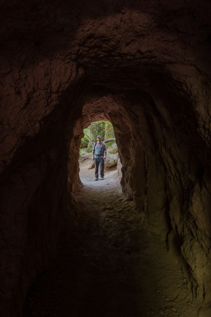
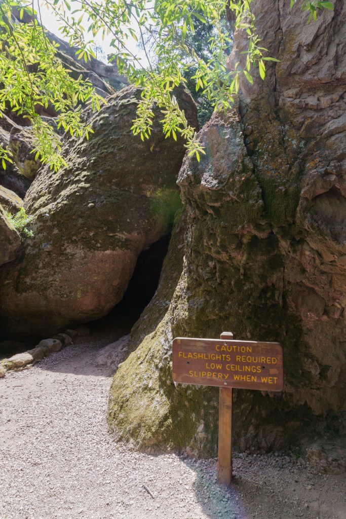
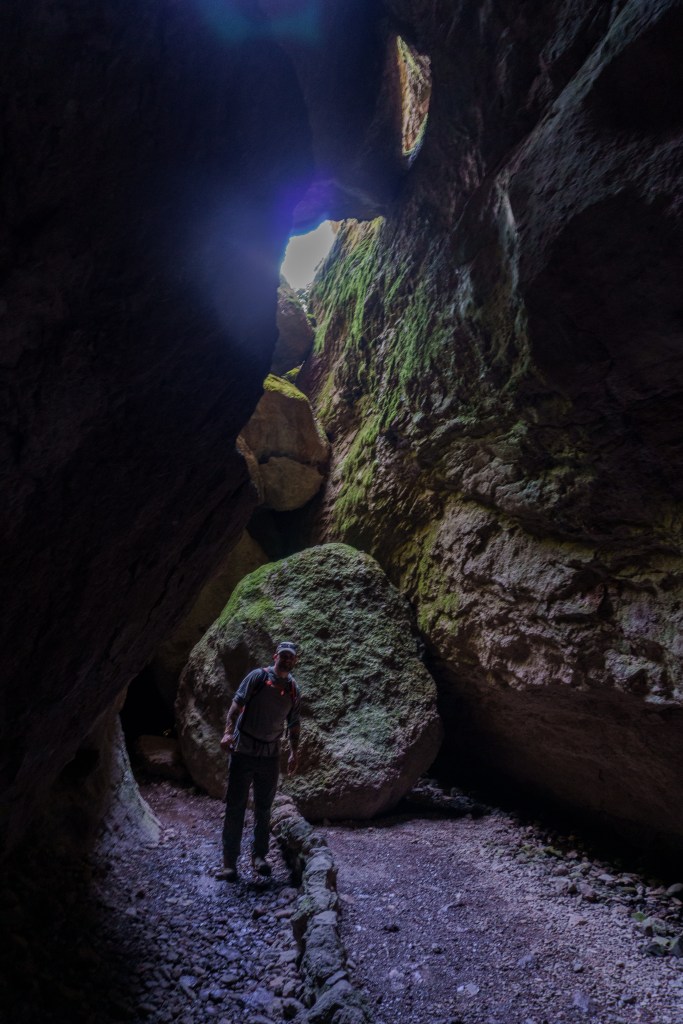
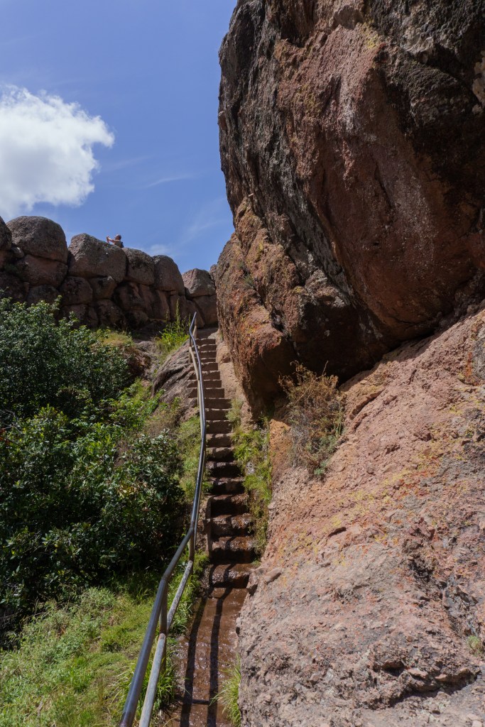
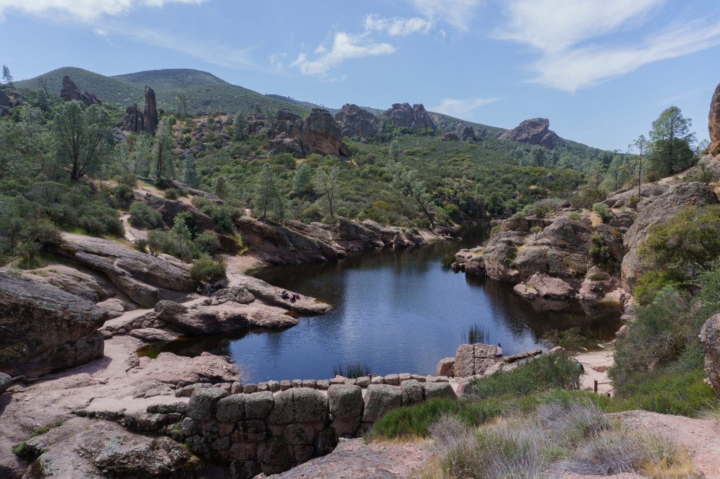
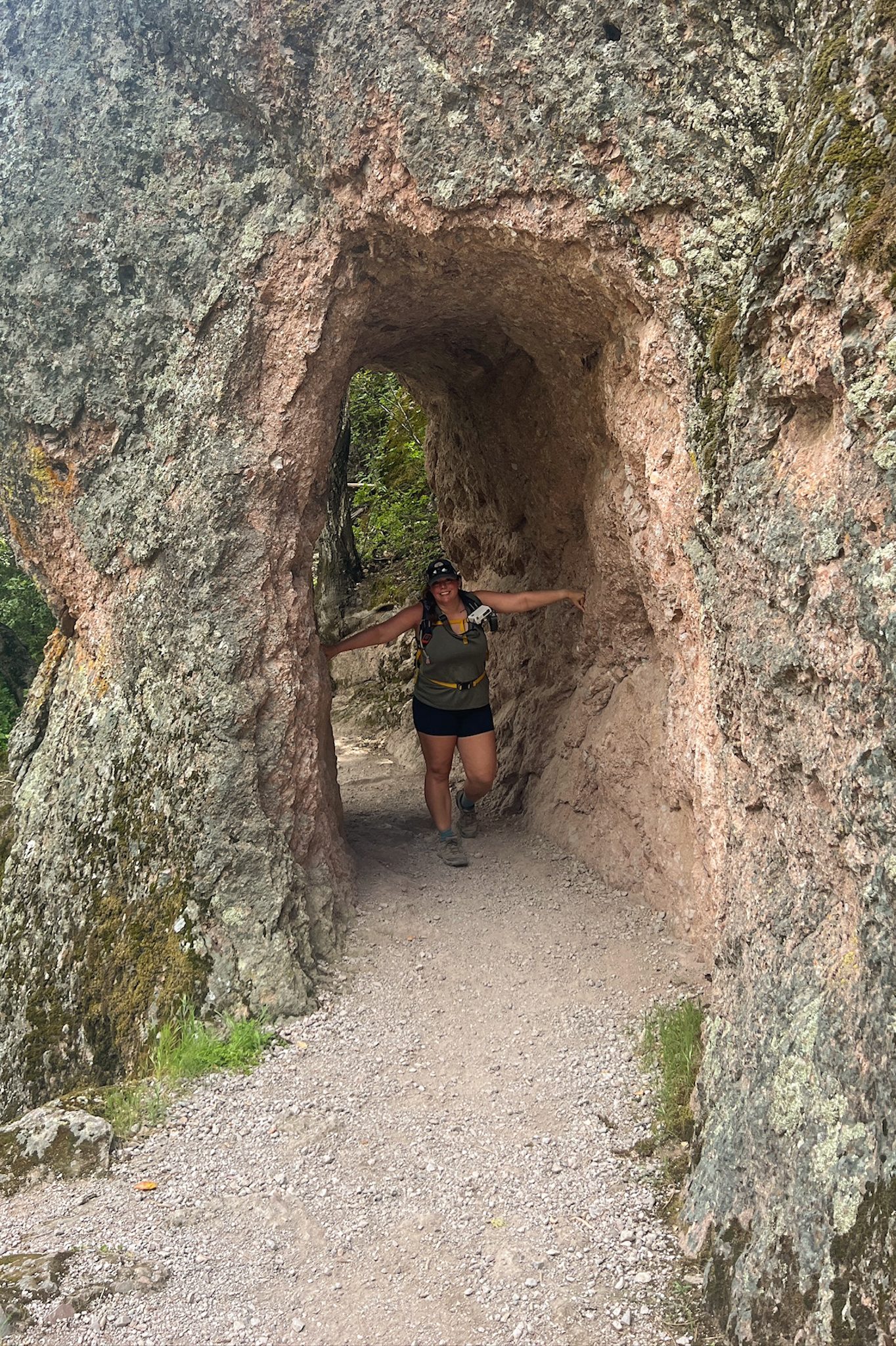
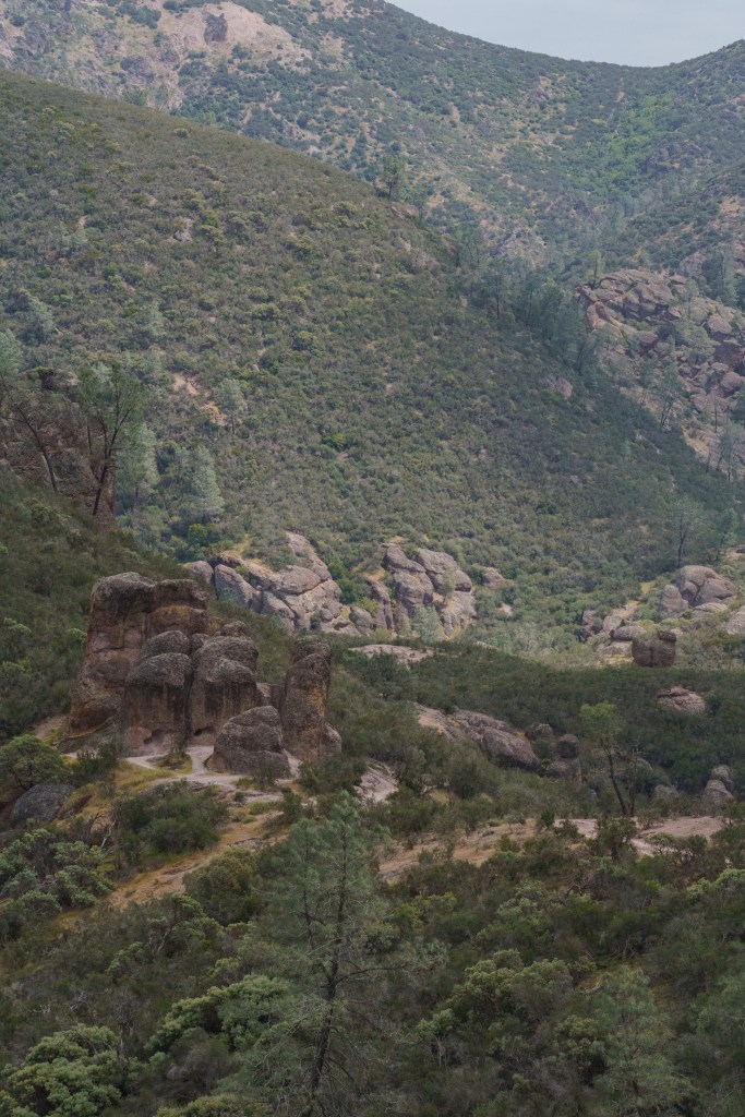
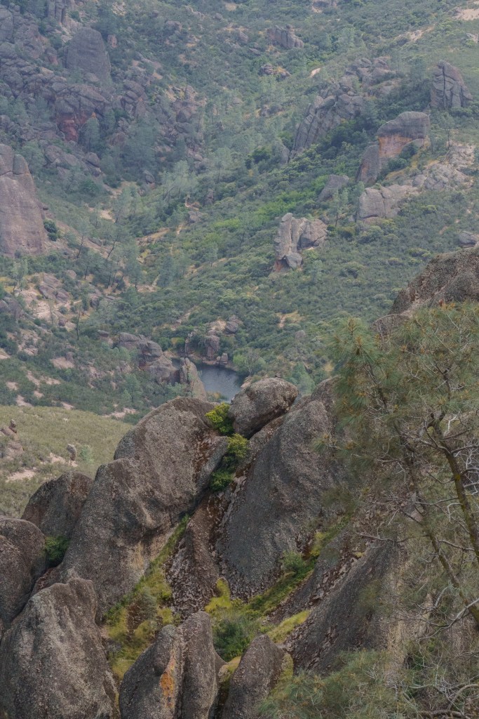
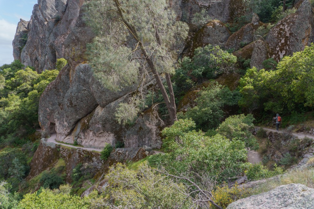
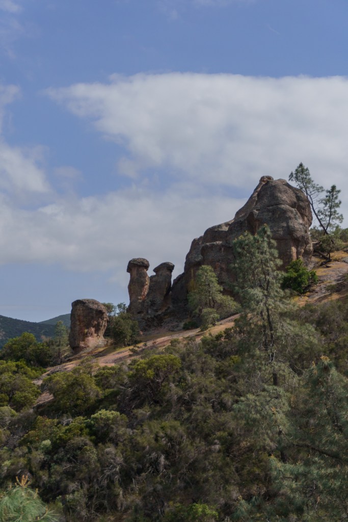
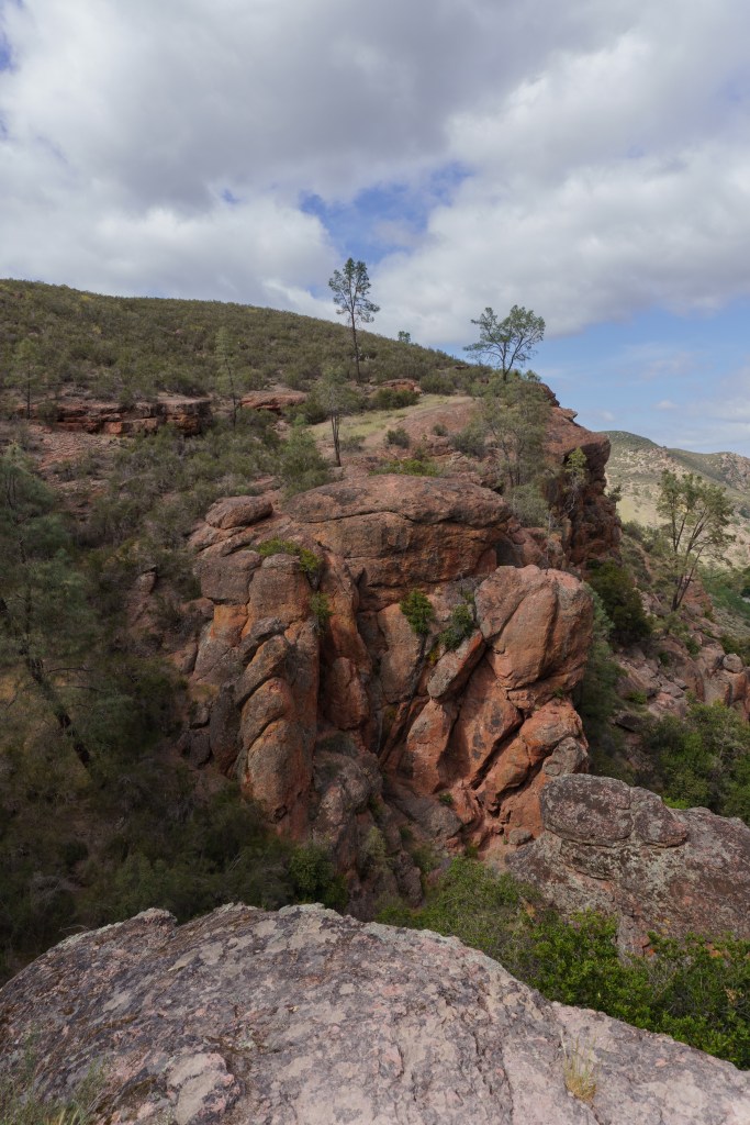
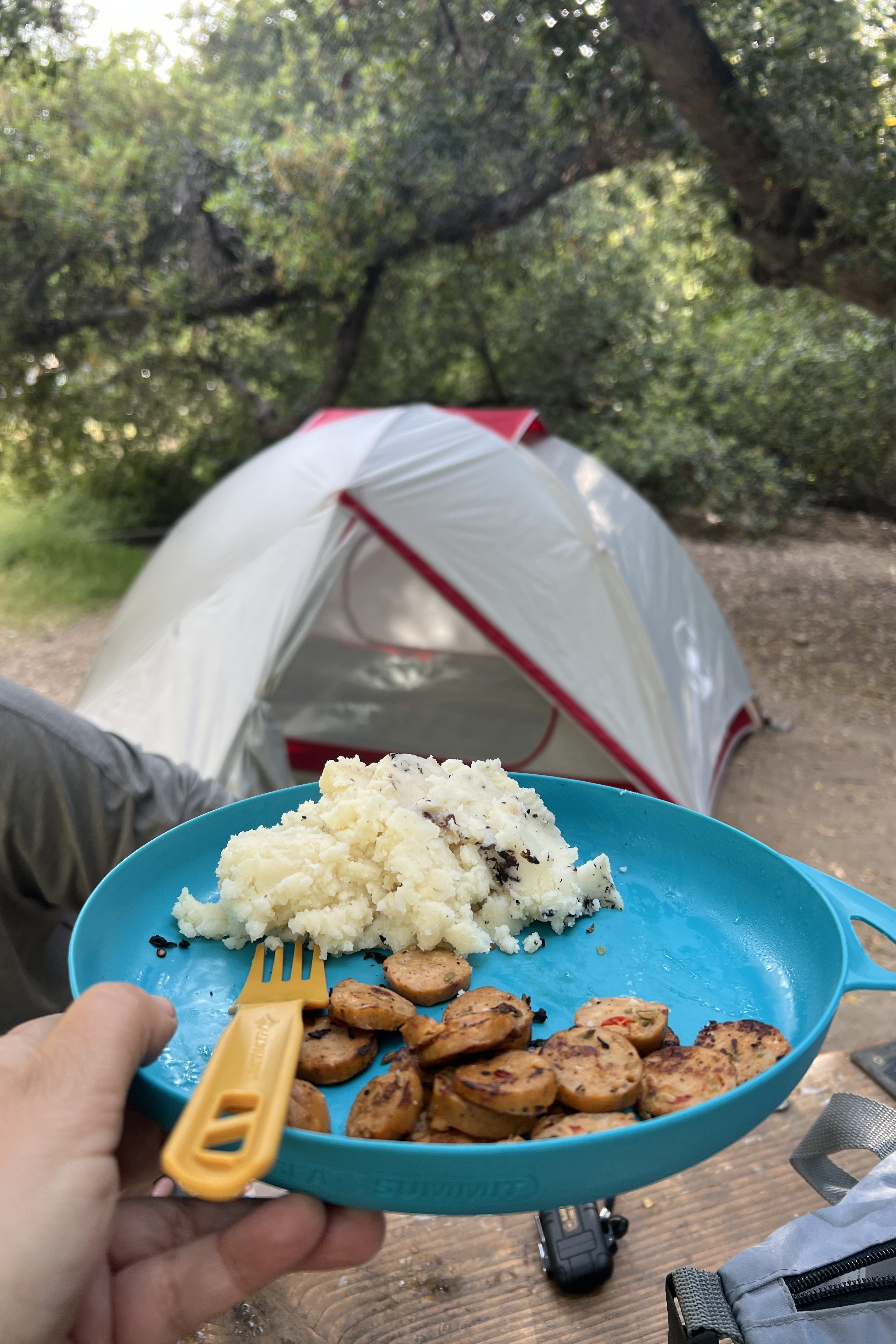
We woke up early to start our drive to Pinnacles National Park. It was a longer drive so we tried to leave as early as possible but it was hard to wake up and get on the road. There are two sides to Pinnacles, east and west, but there isn’t a way to get from one side to the other, unless you leave the park and drive about two hours around the park (or hike from one side to the other). We stayed on the east side of the park since that’s where the campground was. We got into the park around 11:30 AM, which was later than I had hoped. The parking lots on the east side are all TINY! There is a shuttle that operates in the park but it’s only during certain days, so we struggled to find a parking spot at the trailhead we wanted. We ended up having to park further away and hike to the trailhead, which added on more mileage. Because of the additional two miles added to the hike, we weren’t able to do the full loop we wanted but we still enjoyed the hike. We took Bench Trail to Moses Spring to Bear Gulch Caves. The caves were a lot of fun to explore; we really enjoyed it. From there we continued up to the Bear Gulch Reservoir, which was beautiful. I felt like it could’ve been a scene from Jurassic Park, I was expecting some dinosaurs to stroll by.
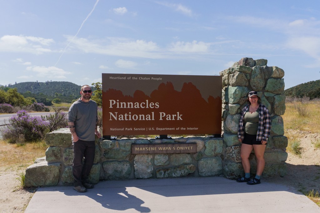
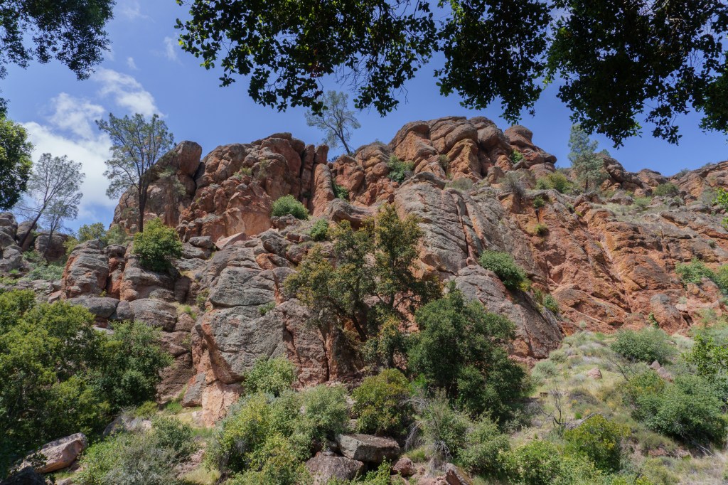
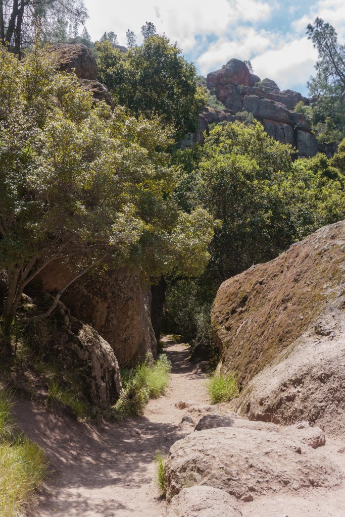
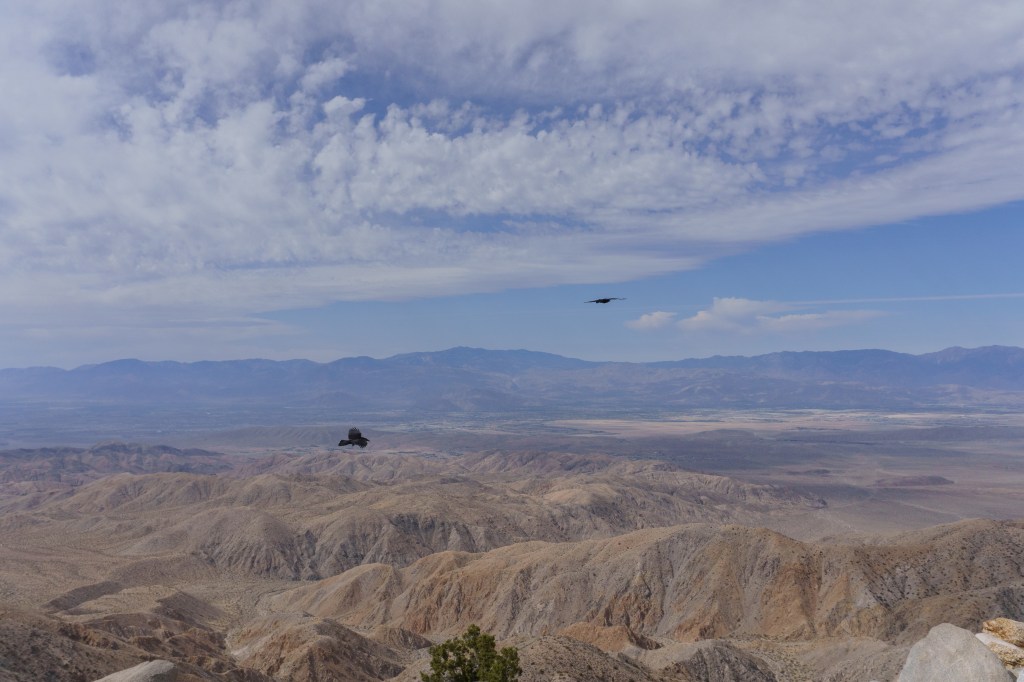
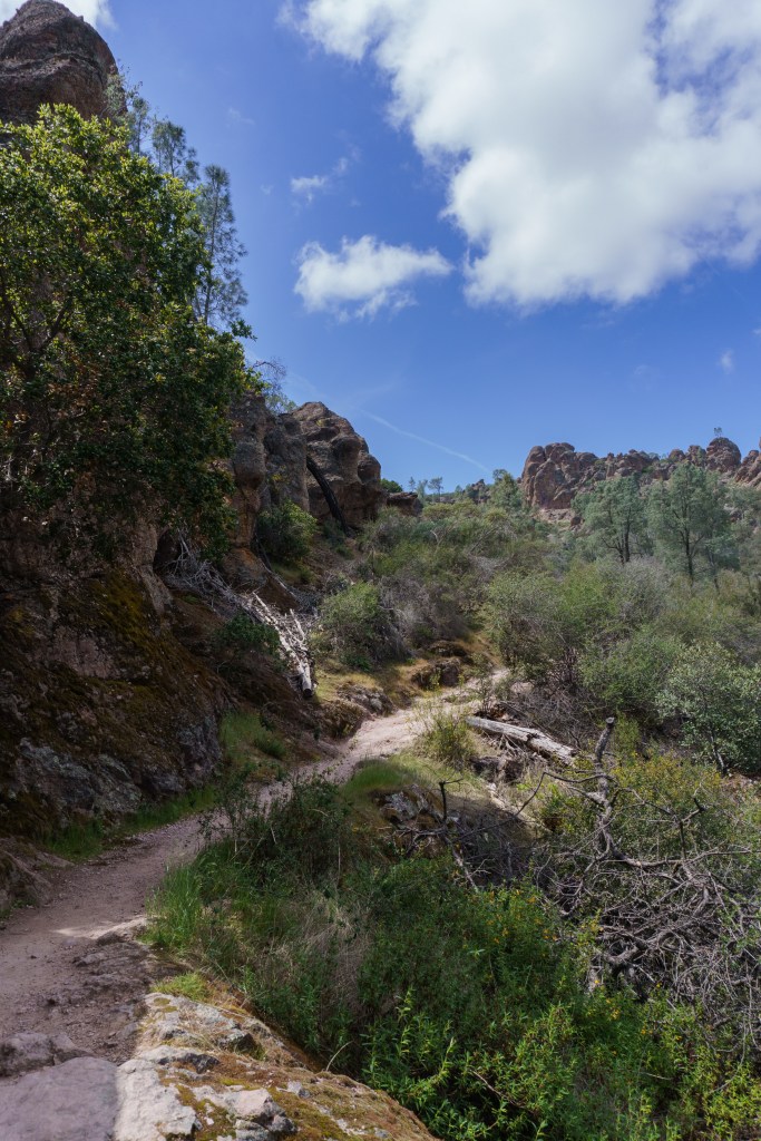
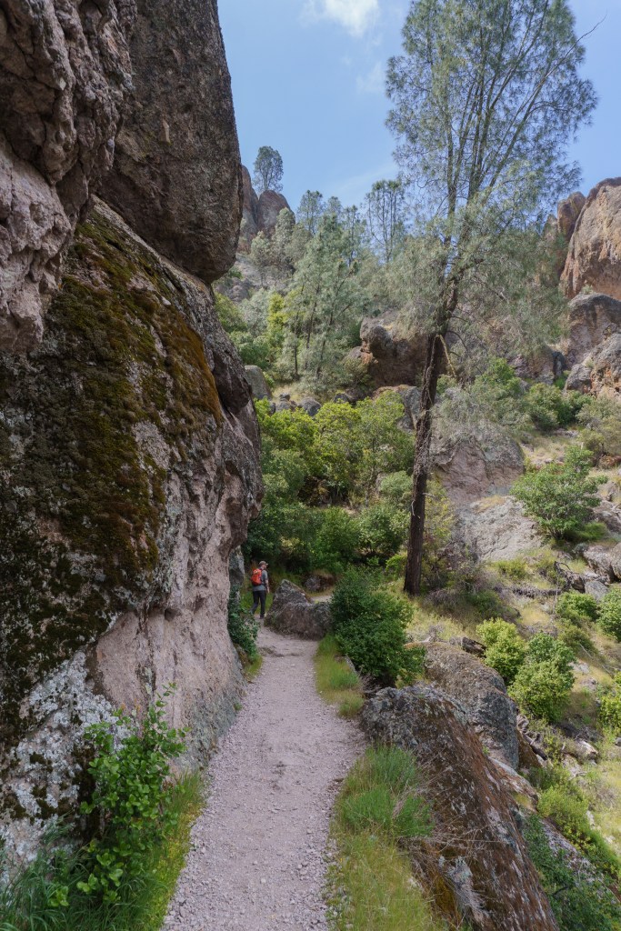
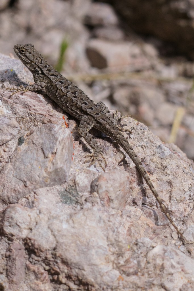
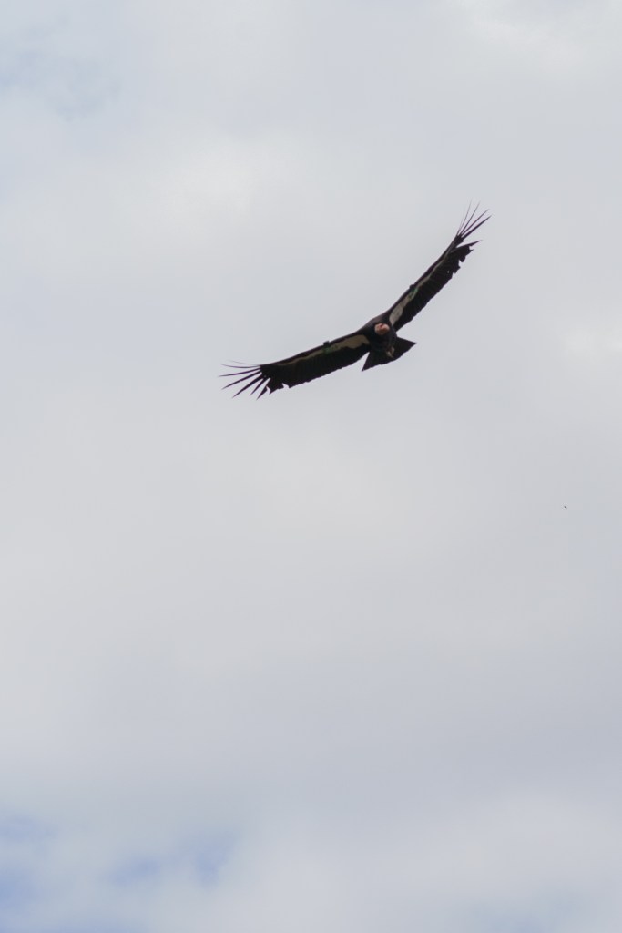
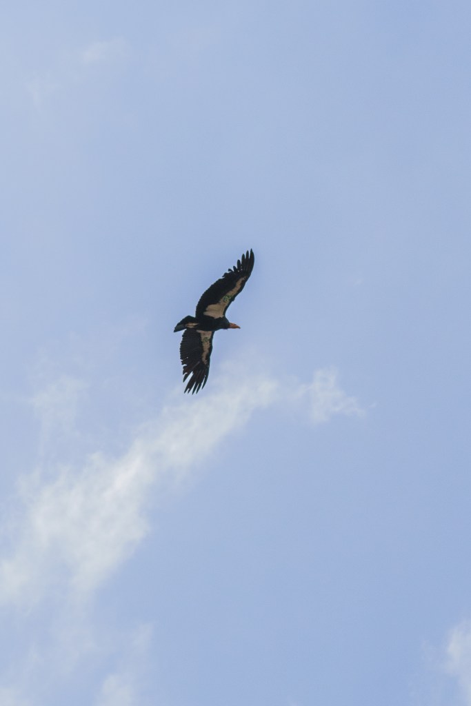
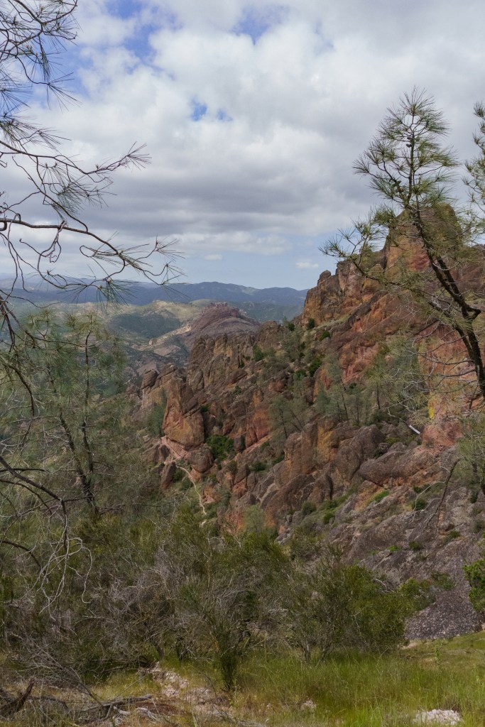
We followed the Rim Trail to High Peak up to Scouts Look Out. I had wanted to continue along the Balconies Trail but we were running behind schedule because of our parking fiasco, so when we made it to Scouts, we ended up turning around and headed back the way we came. Pinnacles has a really special landscape, it’s so different than anything I’ve seen before. It’s also well known for being a place to see the endangered California Condor. I had hoped to see a few but we only saw one (#20 Tagged), plus tons of vultures. After a long vacation, we were both wiped out and happy to make it to our campsite for the night. The campground at the park was very large and had a park store, camp store, pool, showers and multiple bathrooms. Our site was quite a far walk from the bathrooms, which I didn’t love, I get nervous at night walking around in the dark! But overall, it was an uneventful last night.
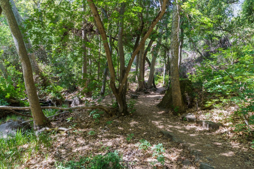
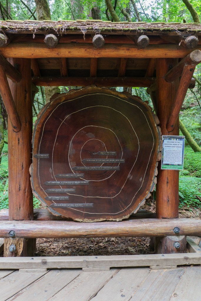
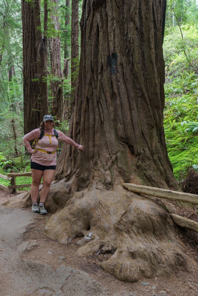
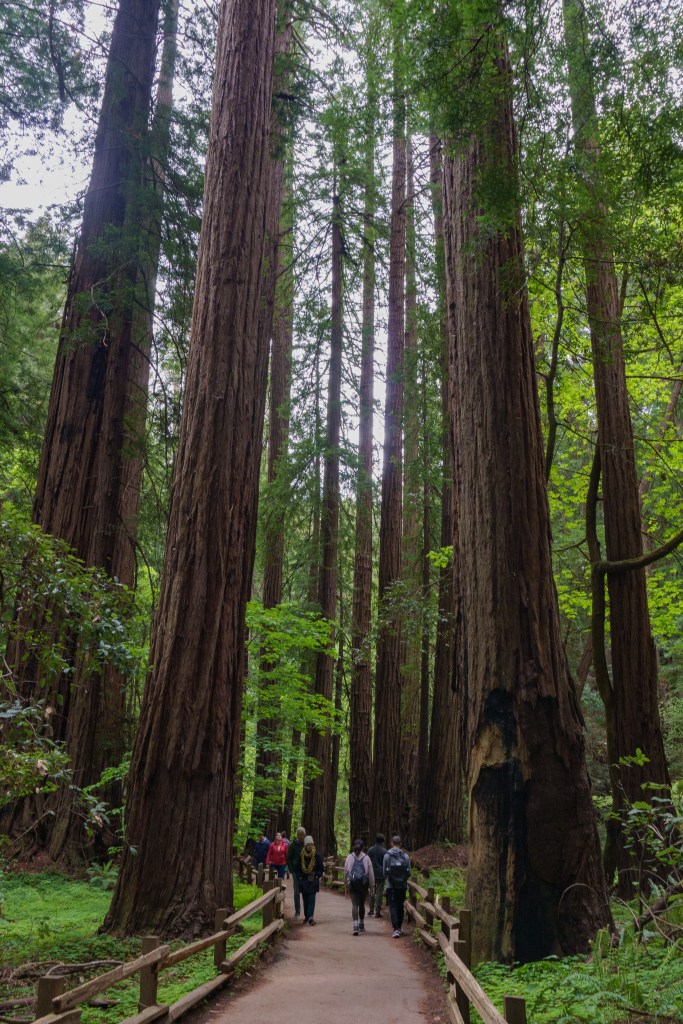
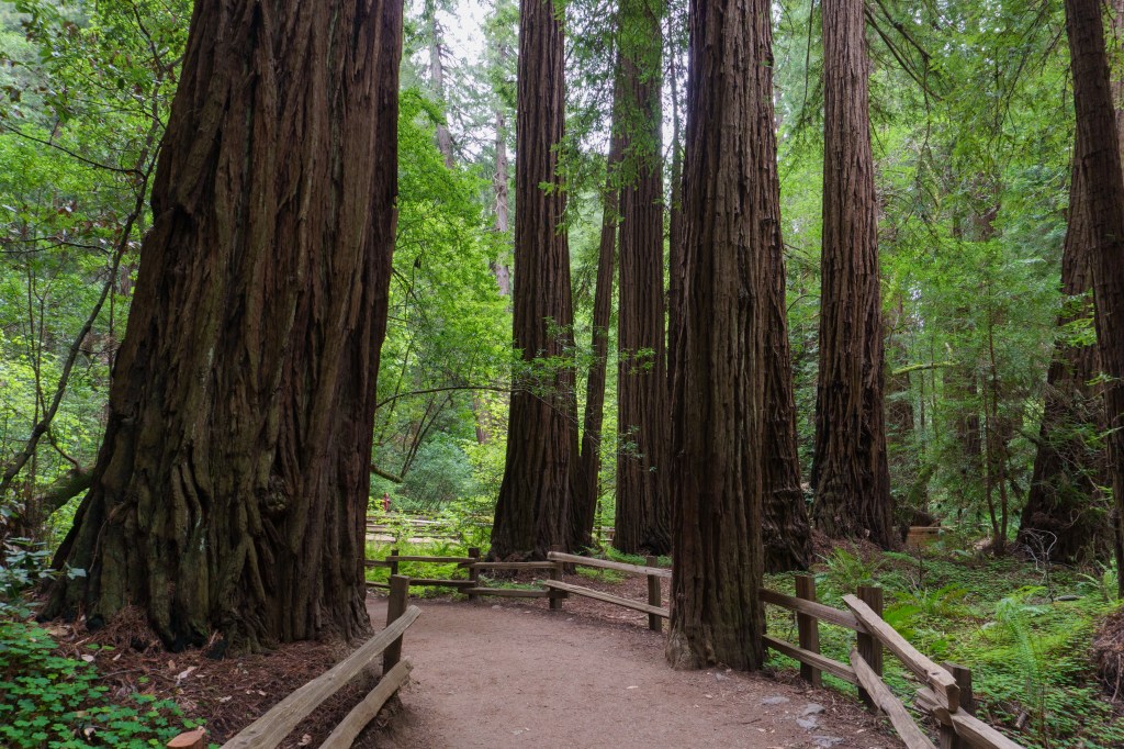
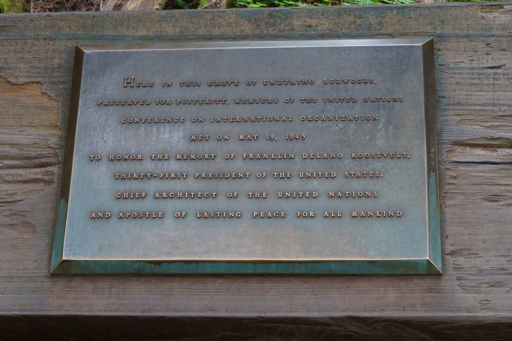
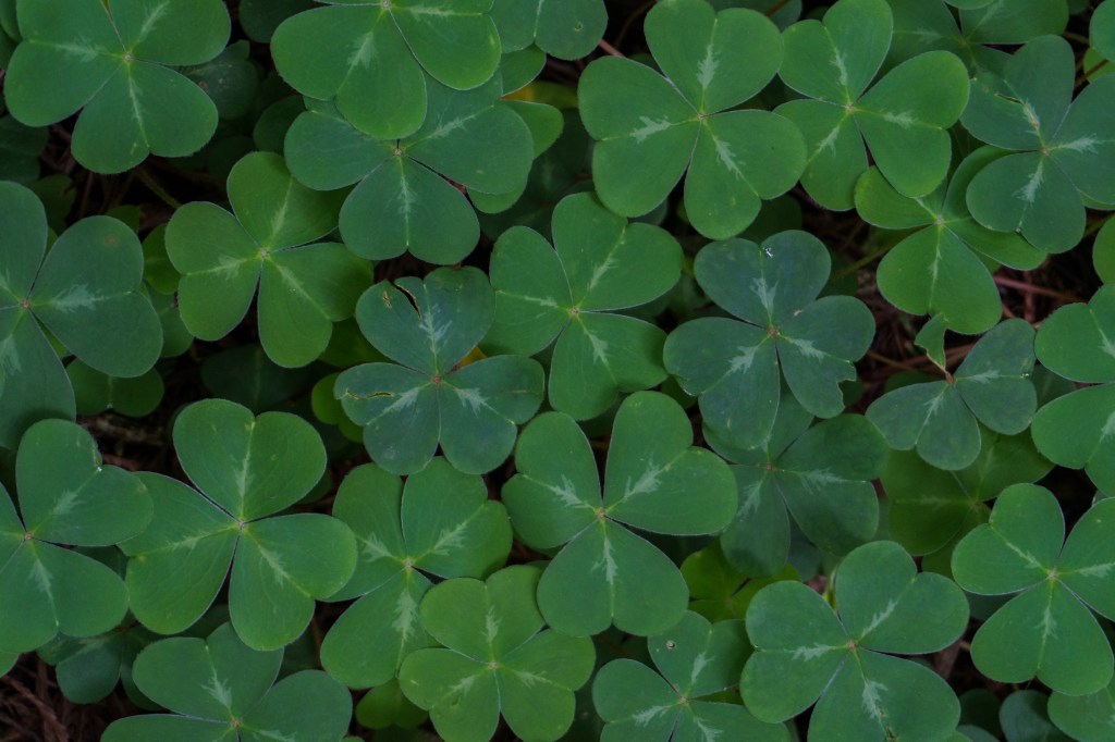
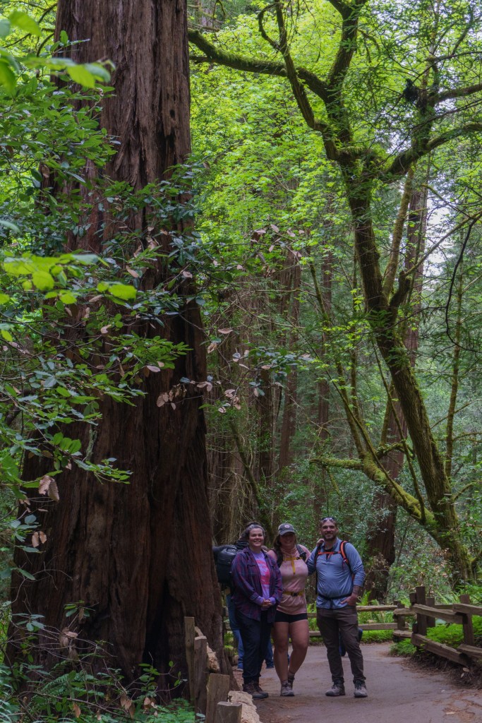
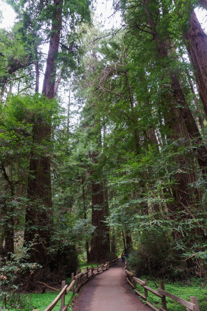
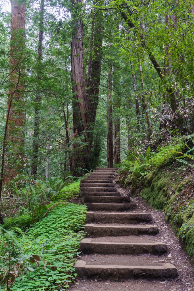
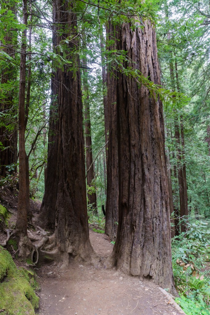
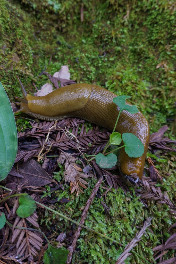
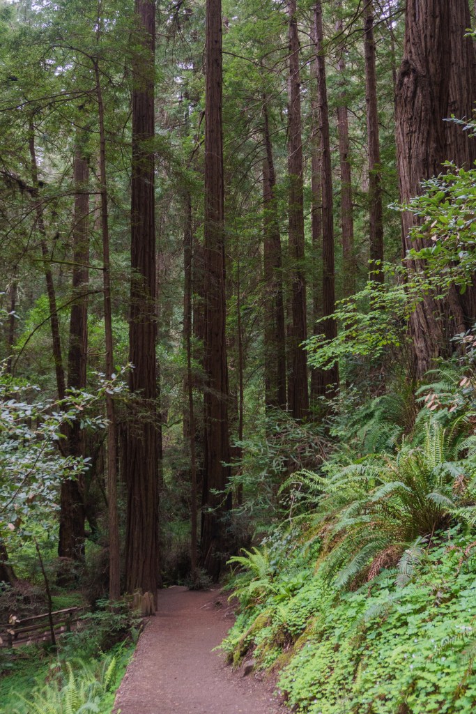
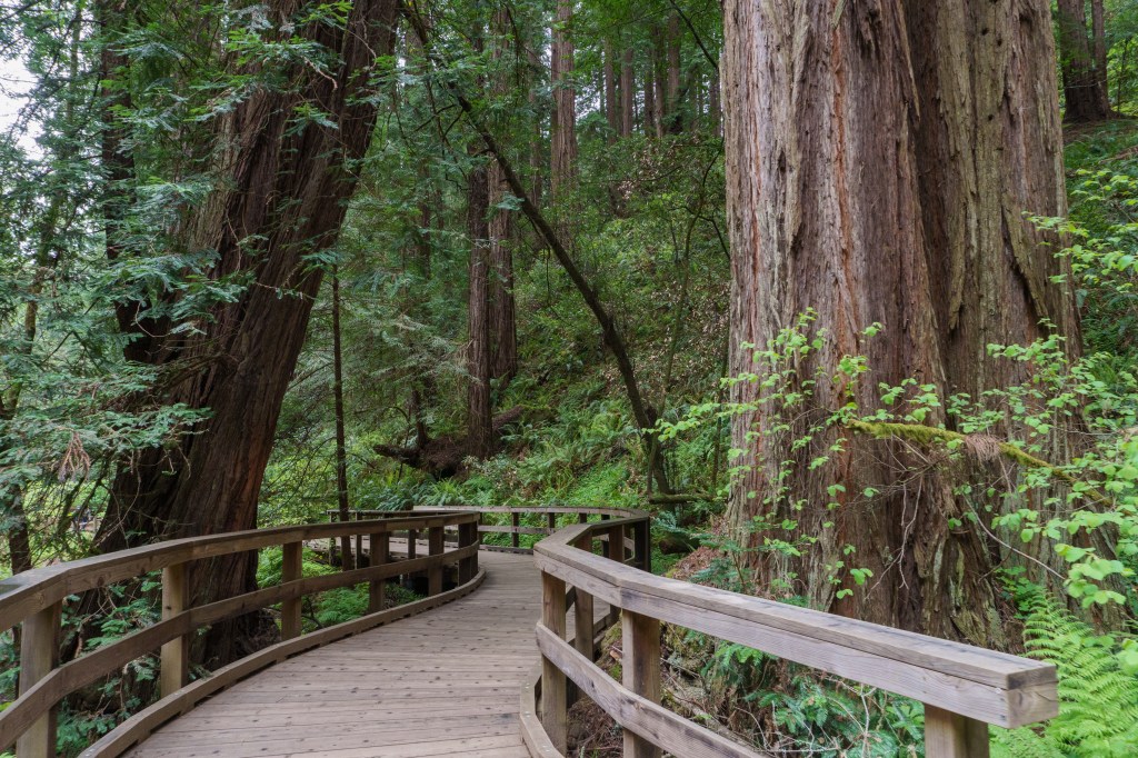
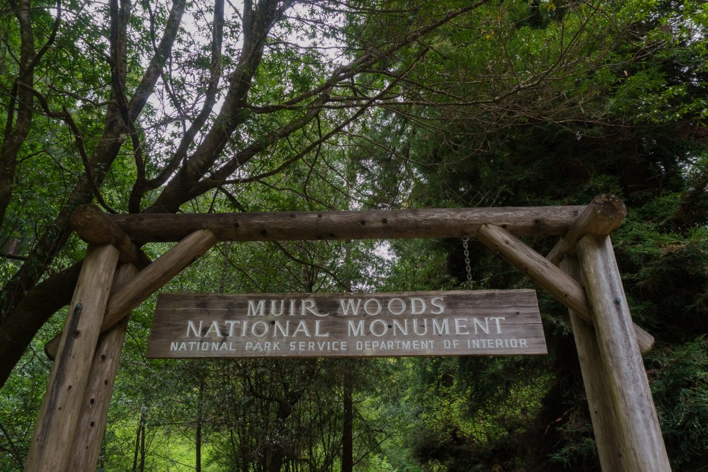
We had a late afternoon flight out of San Francisco, so in the morning we left Pinnacles and headed north. A friend of mine from Maine, Mary, lives in the Bay area so we planned to meet her at Muir Woods National Monument. The three of us did a leisurely 2-mile hike through the monument. Jarrett and I have seen sequoias in the wild but not coastal redwoods, so we loved getting to see them! I also got to see banana slugs for the first time. Slugs are randomly one of my biggest fears so I was grossed out by the banana slugs, but at the same time, I thought they were kind of charming, maybe because they seemed more cartoon-like that the normal ones I usually see. Anyway, the monument was incredibly busy and finding parking was stressful. There were just so many people!
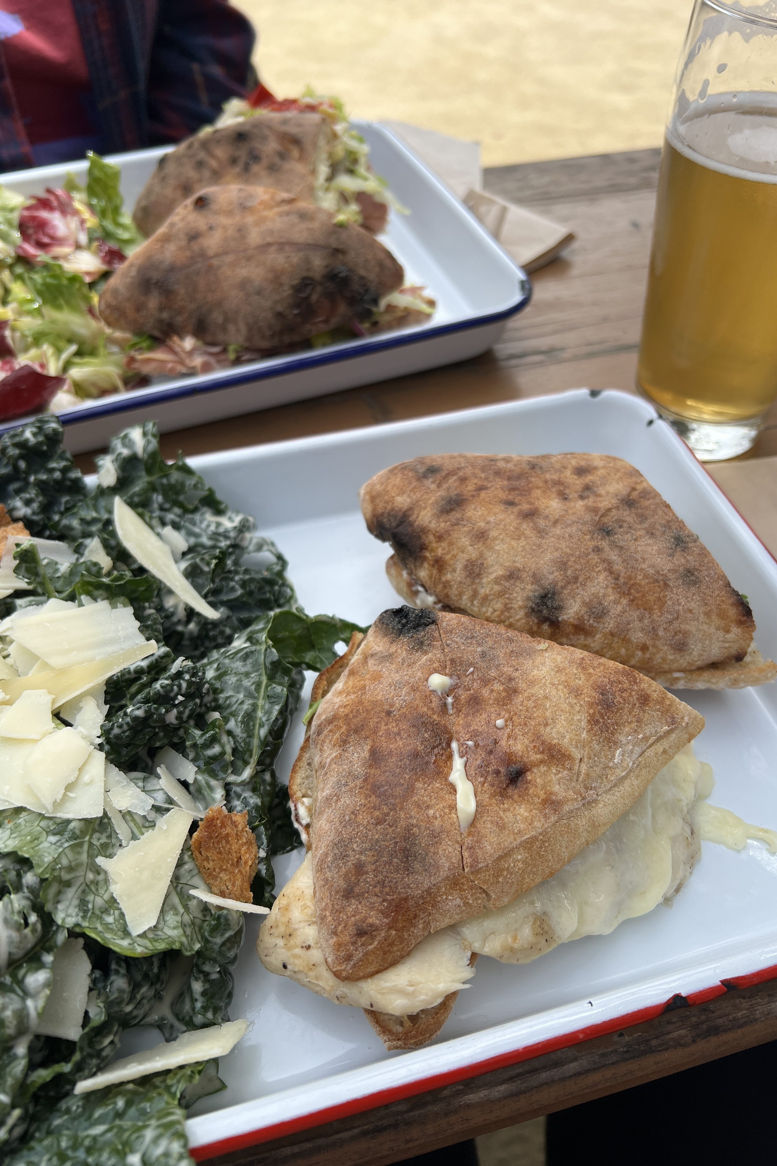
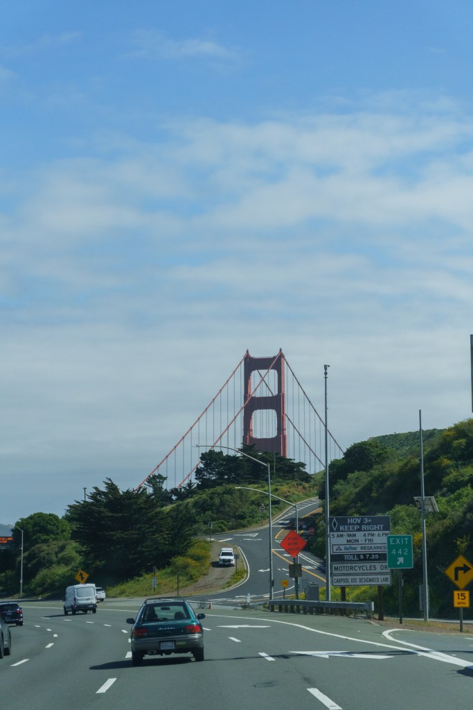
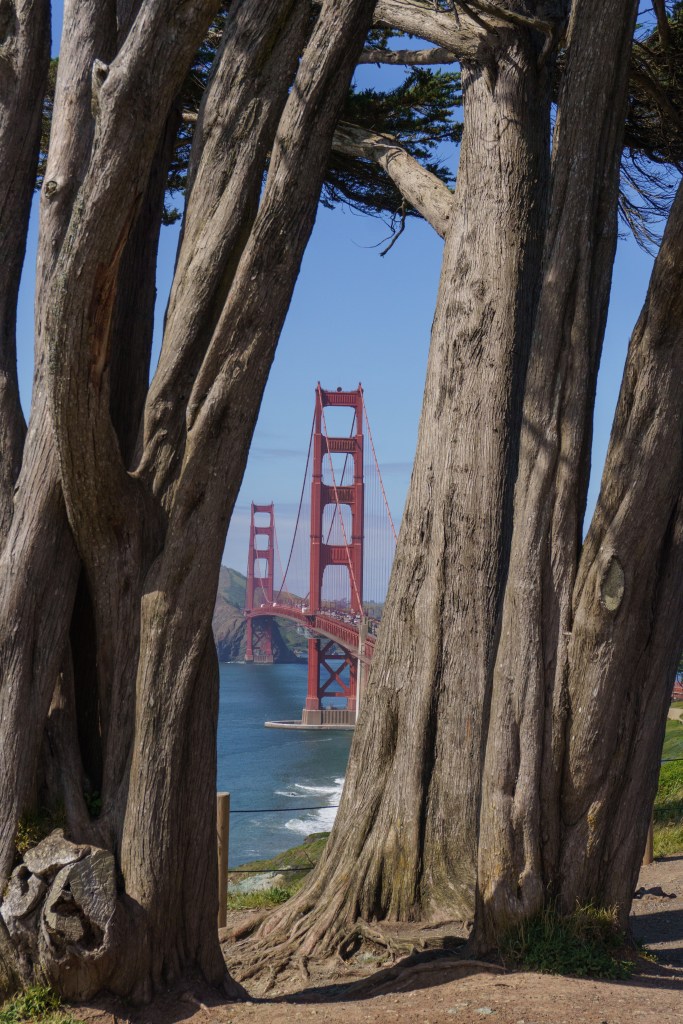
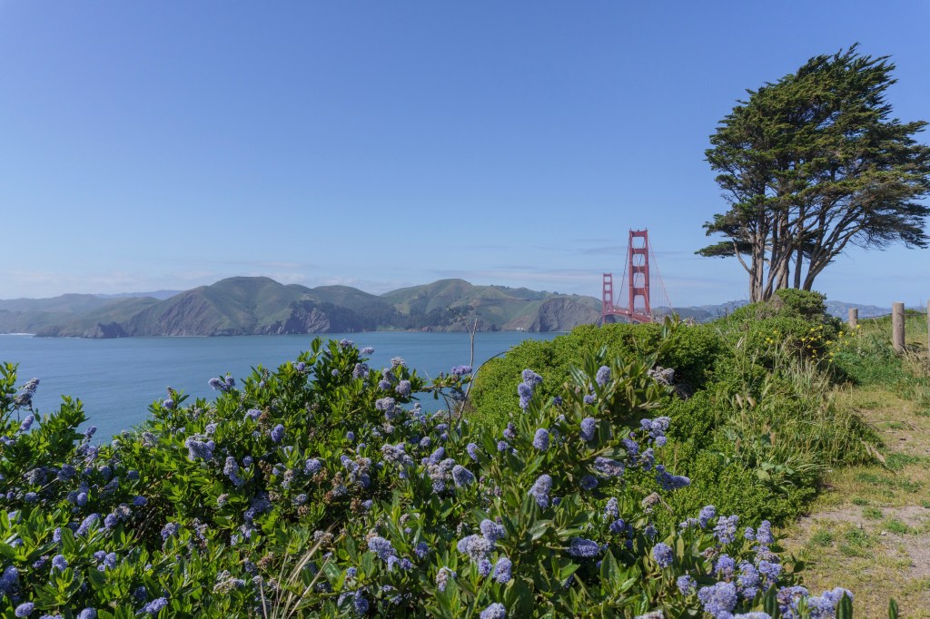
After the hike, we went to The Junction in Mill Valley to have beers and lunch. It was nice getting to spend time with one of my oldest friends and catch up since we hadn’t seen each other for a while. We parted ways with Mary after and went to go look for a good view point of the Golden Gate Bridge. The last time we were in San Fran, we accidentally crossed the bridge and only got the view from the Sausalito side. This time, we found some nice views by Battery Boutelle and I got to take lots of photos. By this point, we were exhausted after a long, busy trip so we headed straight to the airport from there and hung out in the lounge to wait for our flight. It was such a great trip and one of my favorites that we’ve done.
California is one of my favorite states and I always love going there – the state is so big and there is so much to see. During this vacation, we drove 1,795 miles! We have so many core memories from this trip that we’ll look back on fondly for the rest of our lives. We have so many more places to go but I already want to go back to all of these parks to explore more.
Sorry this was such a long post!
📍I acknowledge the lands mentioned in this post are the ancestral lands of the Kawaiisu, Newe Sogobia (Western Shoshone), Xawiƚƚ kwñchawaay (Cocopah), Ɂívil̃uwenetem Meytémak (Cahuilla), Yuhaaviatam/Maarenga’yam (Serrano), Tongva (Gabrieleno), Ventureño Chumash, Chumash, Limuw, Cruzeño Chumash (Island Chumash), Popeloutchom (Amah Mutshun), Chalon, Ohlone, Me-Wuk (Coast Miwok), Graton Racheria, Miwok, Ramaytush and Muwekma people.

Leave a comment