This post contains affiliate links
Getting to the trailhead for Moxie Bald Mountain is almost more of an adventure than the actual hike is. In true Maine fashion, it requires taking a bunch of random logging roads to get there. Some are washed out, some are without signs – it took a lot of careful and creative navigation by my friend Nate to get us there.
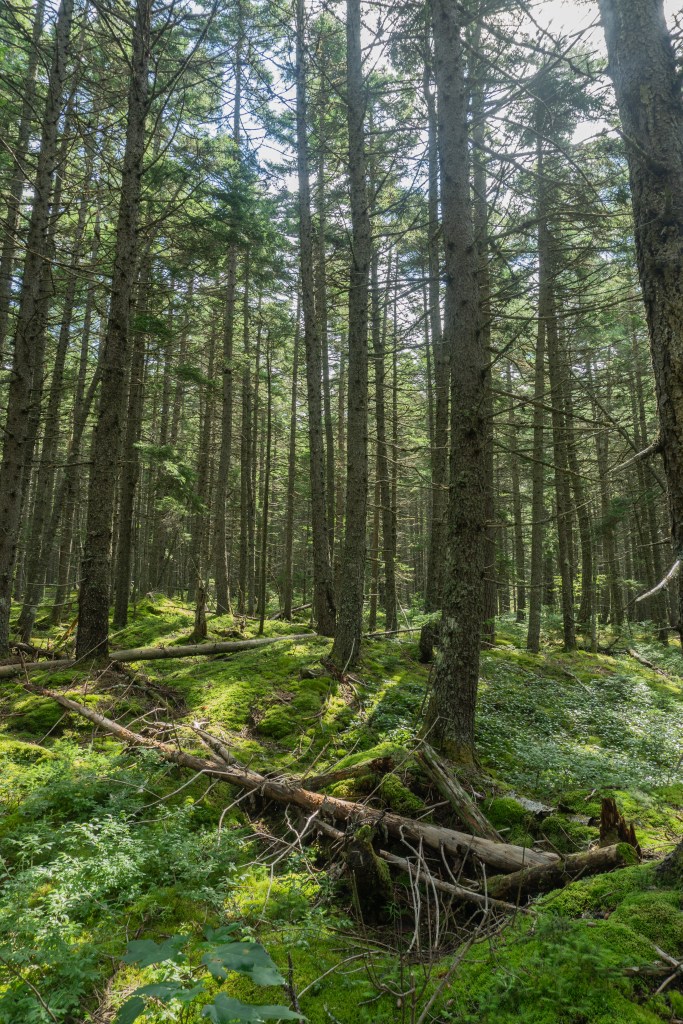
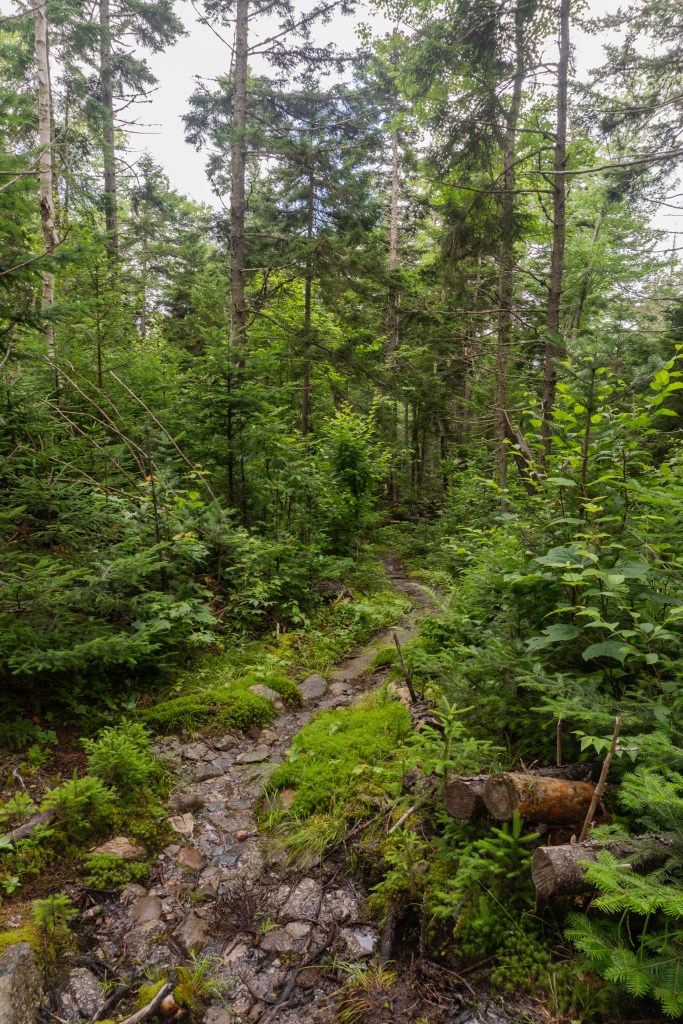
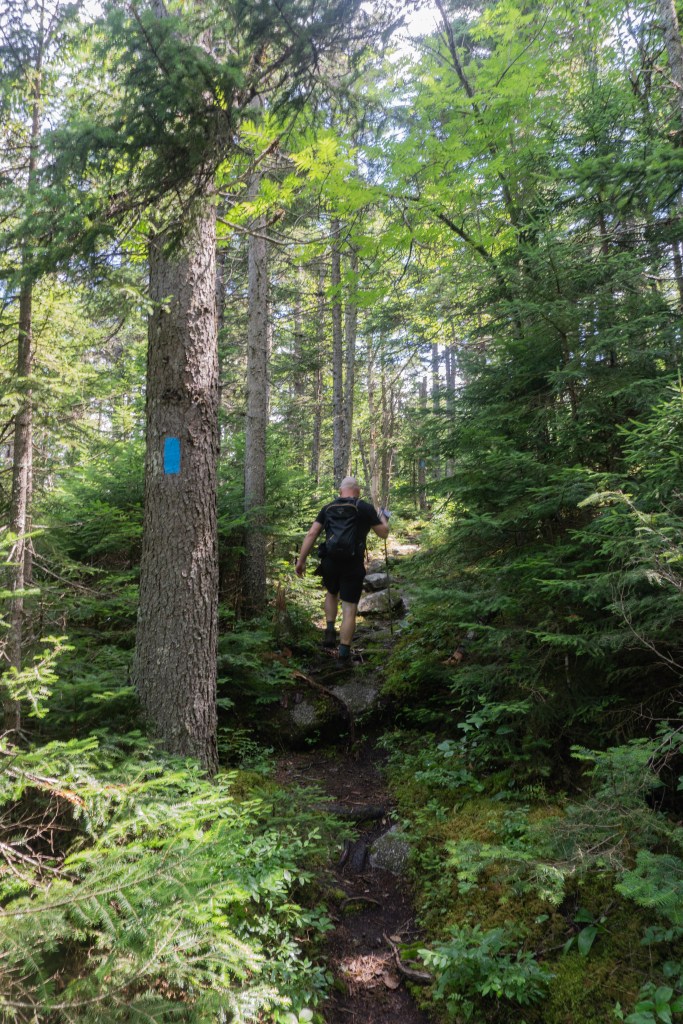

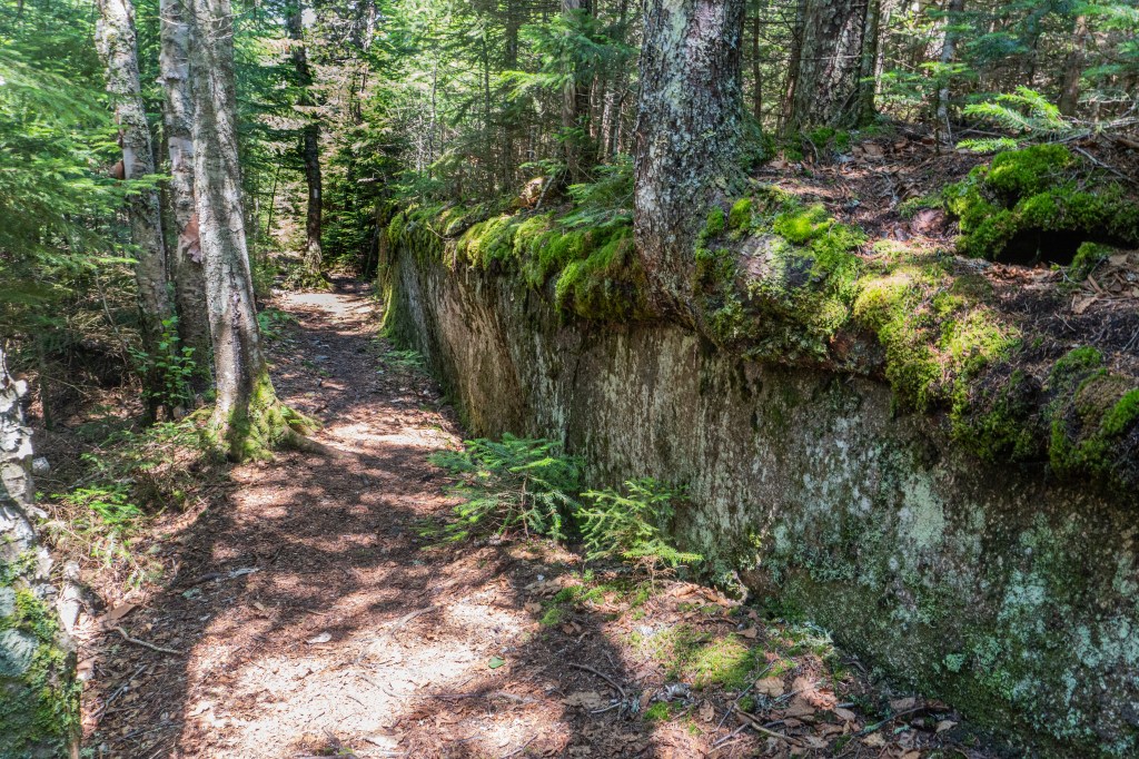
Our original plan was to hike to the Moxie Bald North, however, we were running short on time so we opted for Moxie Bald South. Both options can be found on AllTrails. Moxie Bald South was a shorter hike and the trail was lovely! For the majority of it, we were traversing the Appalachian Trail, which I always think is fun to do. This section of trail was mostly rock, almost like a sidewalk through the woods. There was so much moss that it looked like something out of a fairytale in parts. We didn’t see too many other people on the trail and most of the people we did see, looked like they were thru-hikers.

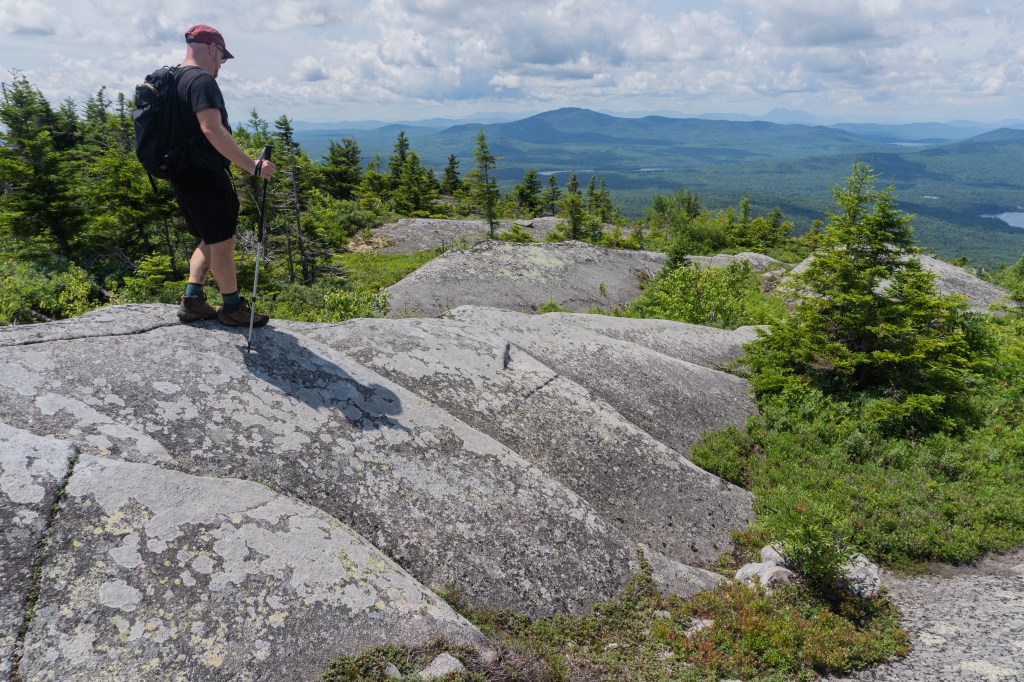

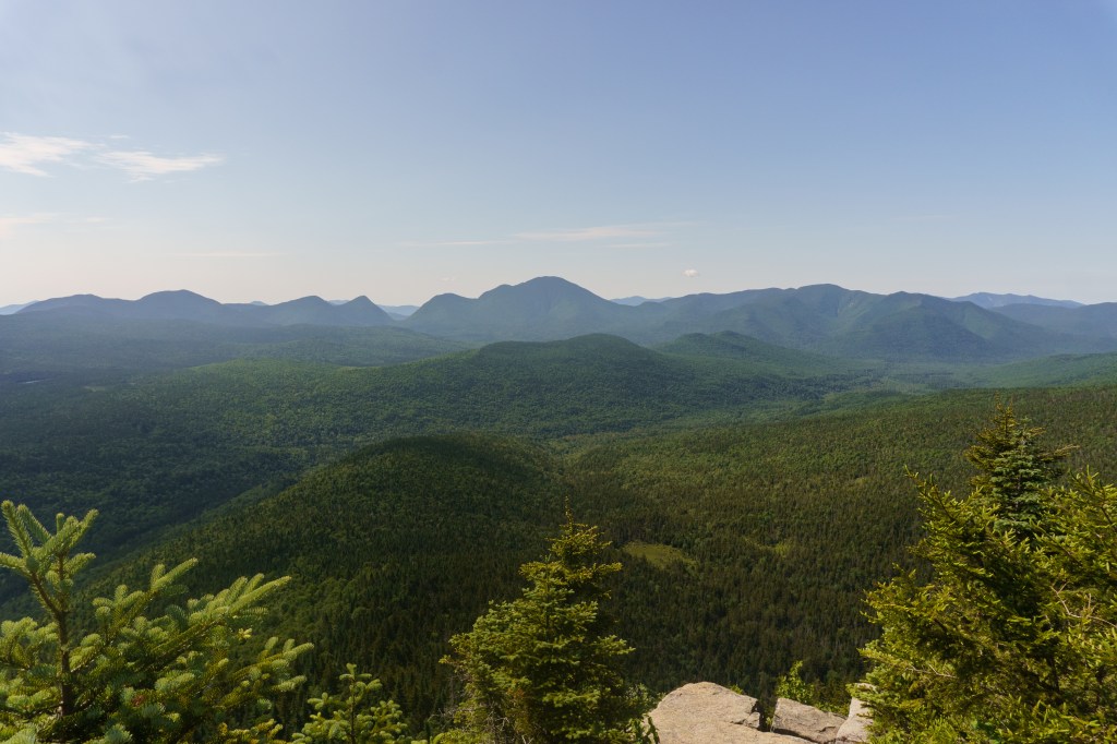
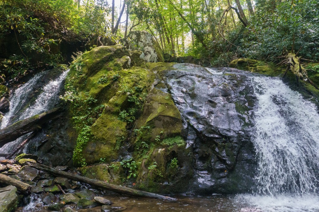
The views were stunning from the summit, you could see 36oº around the area with multiple lakes and other peaks in the distance. On the descent there are a few caves you can go through which is very cool. There are also a lot of natural springs on the trail and you can hear babbling water under rocks during most of the hike. It was a beautiful trail and I really enjoyed it.
🥾 Approx. 4 miles round trip
⛰️ Approx. elevation gain 1,316 ft.
🌲 Moderate to Hard (depends on fitness level)
💰Free!
🦮 Dogs allowed
🚽 Primitive Pit Toilet available

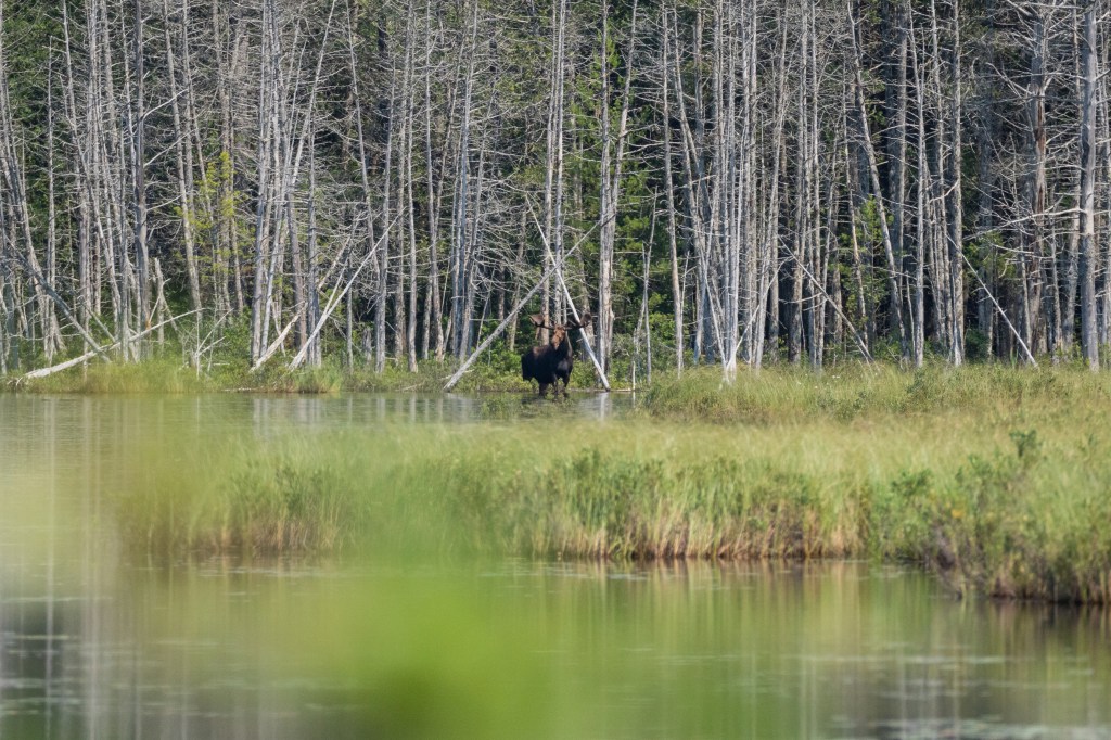
Finding our way out on the logging roads was another adventure but it worked out because we ended up seeing a huge bull moose in a pond! I’d love to go back to do the North summit (if I could find my way to the trailhead). I hope this inspires you to check it out too.
📍I acknowledge the lands mentioned in this post are the ancestral lands of theWabanaki (Dawnland Confederacy), Nanrantsouak and N’dakina (Abenaki / Abénaquis) people.

Leave a comment